1980
Tropical Storm MADELINE (1980285N13252)
IBTrACS version v04r01. Visit
IBTrACS website for data access.
Please direct all questions to the
IBTrACS Q and A forum
Storm track
-
Intensity
-
Wind Radii
-
Intensity Data
-
Source Data
-
All data
Summary Information
|
| Storm ID |
1980285N13252 |
| Start |
Oct 11 00Z |
| Max Intensity |
45 kt (Oct 11 12Z) |
| End |
Oct 12 06Z |
| ATCF IDs |
EP131980 |
| Track status |
Best track data. |
|
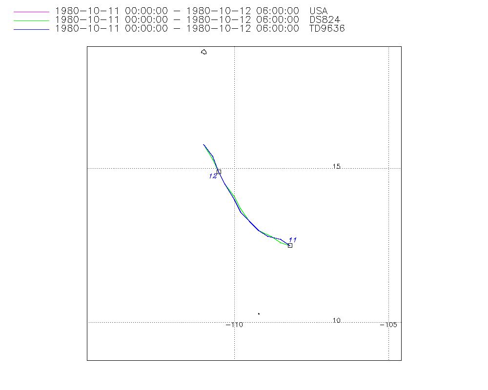
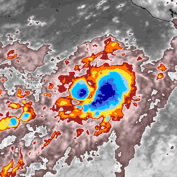
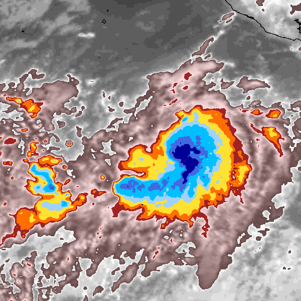
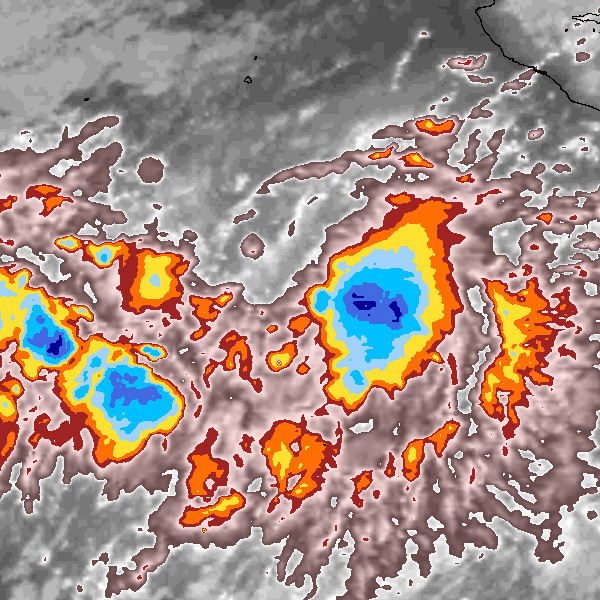
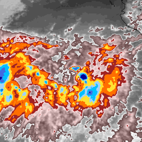
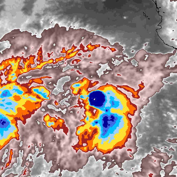
Storm track plot
|
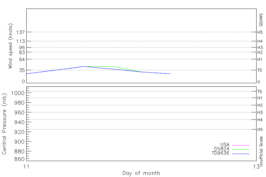
Intensity plots
|
Radial wind information
No radial wind information for this storm
|
Position and Intensity Table
| BASIN |
ISO_TIME_________ |
NATURE |
LAT |
LON |
WMO WIND |
USA WIND |
DS824 WIND |
TD9636 WIND |
| |
|
|
degrees north |
degrees east |
kts |
kts |
kts |
kts |
| EP |
1980-10-11 00:00:00 |
TS |
12.50 |
-108.20 |
25 |
25 |
25 |
25 |
| EP |
03:00:00 |
TS |
12.60 |
-108.50 |
|
30 |
30 |
30 |
| EP |
06:00:00 |
TS |
12.80 |
-108.80 |
35 |
35 |
35 |
35 |
| EP |
09:00:00 |
TS |
13.00 |
-109.20 |
|
40 |
40 |
40 |
| EP |
12:00:00 |
TS |
13.30 |
-109.50 |
45 |
45 |
45 |
45 |
| EP |
15:00:00 |
TS |
13.70 |
-109.80 |
|
45 |
45 |
41 |
| EP |
18:00:00 |
TS |
14.10 |
-110.00 |
45 |
45 |
45 |
38 |
| EP |
21:00:00 |
TS |
14.50 |
-110.30 |
|
38 |
38 |
34 |
| EP |
1980-10-12 00:00:00 |
TS |
14.90 |
-110.50 |
30 |
30 |
30 |
30 |
| EP |
03:00:00 |
TS |
15.30 |
-110.70 |
|
28 |
28 |
28 |
| EP |
06:00:00 |
TS |
15.80 |
-111.00 |
25 |
25 |
25 |
25 |
Source Information
| Agency |
Information |
| USA |
hurdat2-nepac-1949-2025-02272026.txt:Line=8249:MADELINE |
| TOKYO |
|
| CMA |
|
| HKO |
|
| KMA |
|
| NEWDELHI |
|
| REUNION |
|
| BOM |
|
| NADI |
|
| WELLINGTON |
|
| DS824 |
e_npac.dat:372:MADELINE |
| TD9636 |
cons_worldwide_trop_cyclone_18710101-19891231-002:Line=4277 |
| TD9635 |
|
| NEUMANN |
|
| MLC |
|
All available IBTrACS Data
| SEASON |
BASIN |
SUBBASIN |
ISO_TIME_________ |
NATURE |
LAT |
LON |
WMO WIND |
WMO AGENCY |
DIST2LAND |
LANDFALL |
IFLAG |
USA AGENCY |
USA ATCF_ID |
USA LAT |
USA LON |
USA STATUS |
USA WIND |
USA SSHS |
DS824 LAT |
DS824 LON |
DS824 STAGE |
DS824 WIND |
TD9636 LAT |
TD9636 LON |
TD9636 STAGE |
TD9636 WIND |
STORM SPEED |
STORM DIR |
| Year |
|
|
|
|
degrees north |
degrees east |
kts |
|
km |
km |
|
|
|
degrees north |
degrees east |
|
kts |
1 |
degrees north |
degrees east |
|
kts |
degrees north |
degrees east |
|
kts |
kts |
degrees |
| 1980 |
EP |
MM |
1980-10-11 00:00:00 |
TS |
12.50 |
-108.20 |
25 |
hurdat_epa |
821 |
819 |
O_________OO___ |
hurdat_epa |
EP131980 |
12.50 |
-108.20 |
TD |
25 |
-1 |
12.50 |
-108.20 |
TC |
25 |
12.50 |
-108.20 |
1 |
25 |
6 |
295 |
| 1980 |
EP |
MM |
03:00:00 |
TS |
12.60 |
-108.50 |
|
|
833 |
824 |
P_________PP___ |
|
EP131980 |
12.60 |
-108.50 |
TD |
30 |
-1 |
12.60 |
-108.50 |
TC |
30 |
12.70 |
-108.50 |
1 |
30 |
7 |
295 |
| 1980 |
EP |
MM |
06:00:00 |
TS |
12.80 |
-108.80 |
35 |
hurdat_epa |
834 |
830 |
O_________OP___ |
hurdat_epa |
EP131980 |
12.80 |
-108.80 |
TS |
35 |
0 |
12.80 |
-108.80 |
TC |
35 |
12.80 |
-108.90 |
1 |
35 |
8 |
300 |
| 1980 |
EP |
MM |
09:00:00 |
TS |
13.00 |
-109.20 |
|
|
838 |
828 |
P_________PP___ |
|
EP131980 |
13.00 |
-109.20 |
TS |
40 |
0 |
13.00 |
-109.20 |
TC |
40 |
13.00 |
-109.20 |
1 |
40 |
8 |
305 |
| 1980 |
EP |
MM |
12:00:00 |
TS |
13.30 |
-109.50 |
45 |
hurdat_epa |
829 |
816 |
O_________OO___ |
hurdat_epa |
EP131980 |
13.30 |
-109.50 |
TS |
45 |
0 |
13.30 |
-109.50 |
TC |
45 |
13.30 |
-109.50 |
2 |
45 |
9 |
320 |
| 1980 |
EP |
MM |
15:00:00 |
TS |
13.70 |
-109.80 |
|
|
814 |
795 |
P_________PP___ |
|
EP131980 |
13.70 |
-109.80 |
TS |
45 |
0 |
13.70 |
-109.80 |
TC |
45 |
13.60 |
-109.80 |
2 |
41 |
9 |
330 |
| 1980 |
EP |
MM |
18:00:00 |
TS |
14.10 |
-110.00 |
45 |
hurdat_epa |
795 |
778 |
O_________OP___ |
hurdat_epa |
EP131980 |
14.10 |
-110.00 |
TS |
45 |
0 |
14.10 |
-110.00 |
TC |
45 |
14.00 |
-110.00 |
2 |
38 |
9 |
330 |
| 1980 |
EP |
MM |
21:00:00 |
TS |
14.50 |
-110.30 |
|
|
786 |
770 |
P_________PP___ |
|
EP131980 |
14.50 |
-110.30 |
TS |
38 |
0 |
14.50 |
-110.30 |
TC |
38 |
14.50 |
-110.30 |
2 |
34 |
10 |
330 |
| 1980 |
EP |
MM |
1980-10-12 00:00:00 |
TS |
14.90 |
-110.50 |
30 |
hurdat_epa |
770 |
755 |
O_________OO___ |
hurdat_epa |
EP131980 |
14.90 |
-110.50 |
TD |
30 |
-1 |
14.90 |
-110.50 |
TC |
30 |
14.90 |
-110.50 |
1 |
30 |
10 |
330 |
| 1980 |
EP |
MM |
03:00:00 |
TS |
15.30 |
-110.70 |
|
|
755 |
743 |
P_________PP___ |
|
EP131980 |
15.30 |
-110.70 |
TD |
28 |
-1 |
15.30 |
-110.70 |
TC |
28 |
15.40 |
-110.70 |
1 |
28 |
10 |
330 |
| 1980 |
EP |
MM |
06:00:00 |
TS |
15.80 |
-111.00 |
25 |
hurdat_epa |
744 |
|
O_________OO___ |
hurdat_epa |
EP131980 |
15.80 |
-111.00 |
TD |
25 |
-1 |
15.80 |
-111.00 |
TC |
25 |
15.80 |
-111.00 |
1 |
25 |
10 |
330 |