1984
Tropical Depression UNNAMED (1984299N18127)
IBTrACS version v04r01. Visit
IBTrACS website for data access.
Please direct all questions to the
IBTrACS Q and A forum
Storm track
-
Intensity
-
Wind Radii
-
Intensity Data
-
Source Data
-
All data
Summary Information
|
|
| Storm ID |
1984299N18127 |
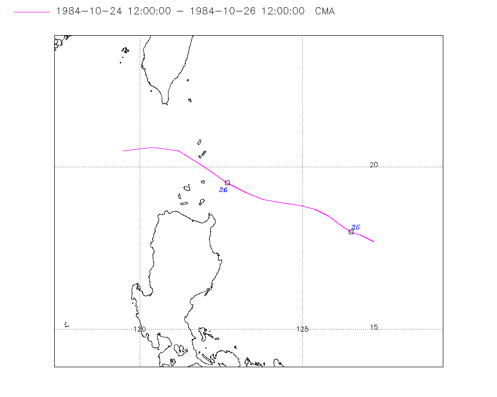
| Start |
Oct 24 12Z |
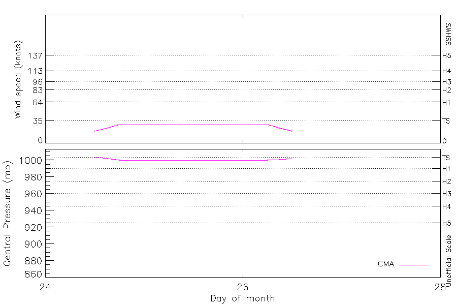
| Max Intensity |
29 kt (Oct 24 18Z) |
| End |
Oct 26 12Z |
| ATCF IDs |
|
| Track status |
Best track data. |
|
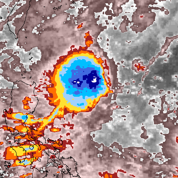
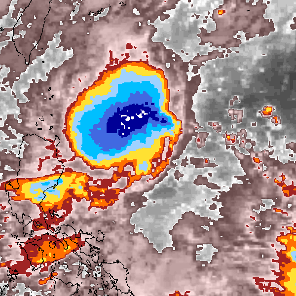
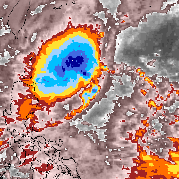
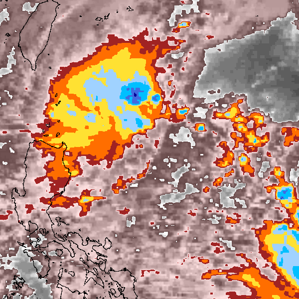
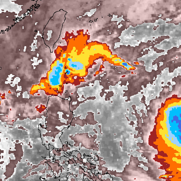
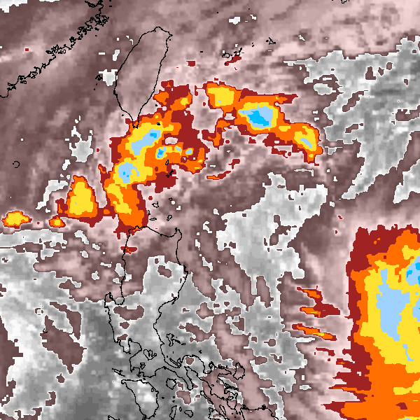
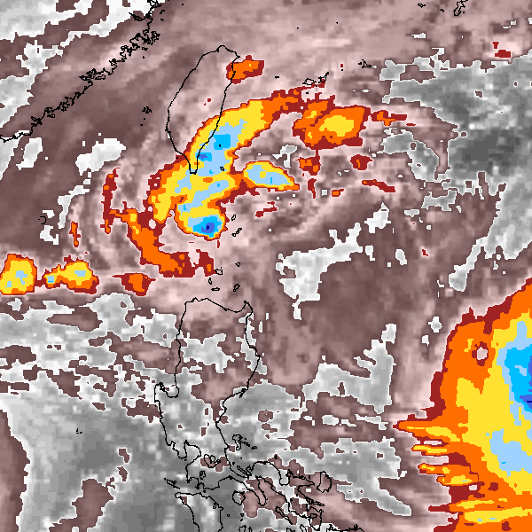
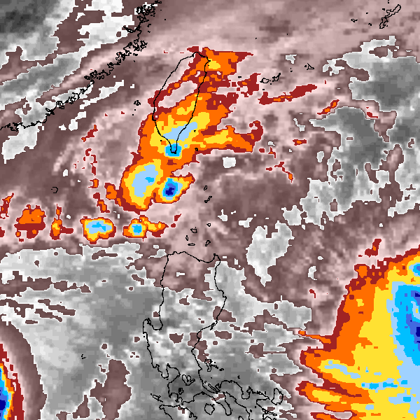
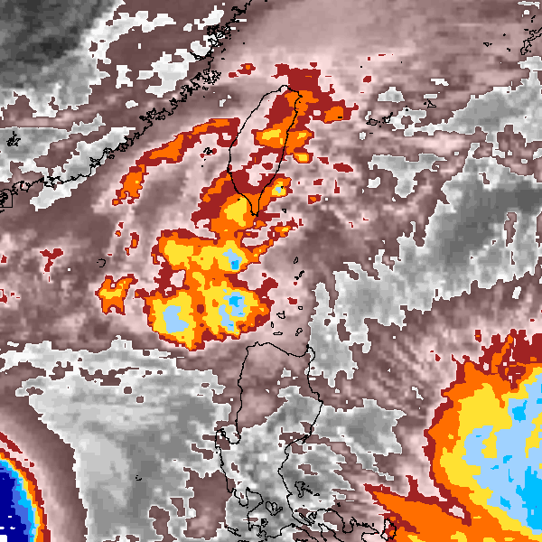
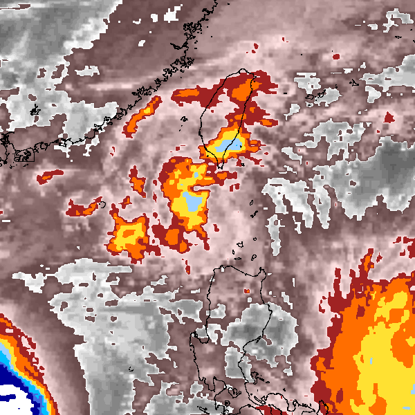
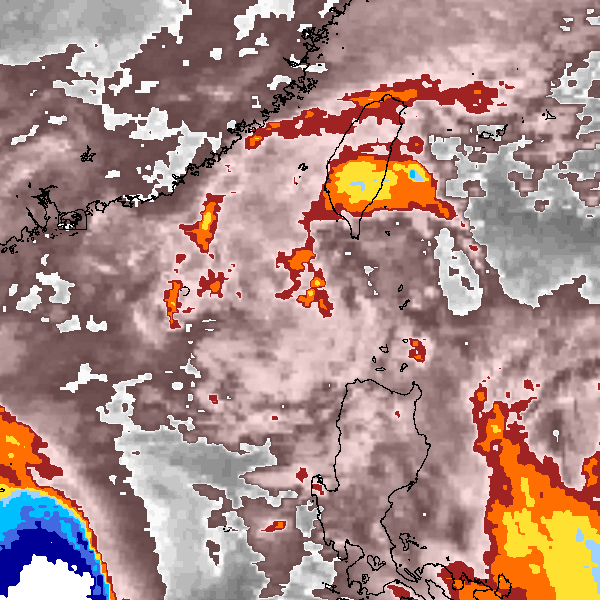
Storm track plot
|
Intensity plots
|
Radial wind information
No radial wind information for this storm
|
Position and Intensity Table
Source Information
| Agency |
Information |
| USA |
|
| TOKYO |
|
| CMA |
CH1984BST.txt:Storm=29:(nameless) |
| HKO |
|
| KMA |
|
| NEWDELHI |
|
| REUNION |
|
| BOM |
|
| NADI |
|
| WELLINGTON |
|
| DS824 |
|
| TD9636 |
|
| TD9635 |
|
| NEUMANN |
|
| MLC |
|
All available IBTrACS Data
| SEASON |
BASIN |
SUBBASIN |
ISO_TIME_________ |
NATURE |
LAT |
LON |
DIST2LAND |
LANDFALL |
IFLAG |
USA SSHS |
CMA LAT |
CMA LON |
CMA CAT |
CMA WIND |
CMA PRES |
STORM SPEED |
STORM DIR |
| Year |
|
|
|
|
degrees north |
degrees east |
km |
km |
|
1 |
degrees north |
degrees east |
1 |
kts |
mb |
kts |
degrees |
| 1984 |
WP |
MM |
1984-10-24 12:00:00 |
DS |
17.70 |
127.20 |
505 |
467 |
__O____________ |
-5 |
17.70 |
127.20 |
0 |
19 |
1004 |
9 |
295 |
| 1984 |
WP |
MM |
15:00:00 |
DS |
17.90 |
126.80 |
467 |
438 |
__P____________ |
-5 |
17.90 |
126.80 |
0 |
24 |
1002 |
7 |
295 |
| 1984 |
WP |
MM |
18:00:00 |
TS |
18.00 |
126.50 |
438 |
438 |
__O____________ |
-5 |
18.00 |
126.50 |
1 |
29 |
1000 |
3 |
290 |
| 1984 |
WP |
MM |
21:00:00 |
TS |
18.00 |
126.50 |
438 |
438 |
__P____________ |
-5 |
18.00 |
126.50 |
1 |
29 |
1000 |
0 |
0 |
| 1984 |
WP |
MM |
1984-10-25 00:00:00 |
TS |
18.00 |
126.50 |
438 |
412 |
__O____________ |
-5 |
18.00 |
126.50 |
1 |
29 |
1000 |
4 |
310 |
| 1984 |
WP |
MM |
03:00:00 |
TS |
18.20 |
126.20 |
412 |
369 |
__P____________ |
-5 |
18.20 |
126.20 |
1 |
29 |
1000 |
8 |
305 |
| 1984 |
WP |
MM |
06:00:00 |
TS |
18.50 |
125.80 |
369 |
338 |
__O____________ |
-5 |
18.50 |
125.80 |
1 |
29 |
1000 |
9 |
300 |
| 1984 |
WP |
MM |
09:00:00 |
TS |
18.70 |
125.40 |
328 |
288 |
__P____________ |
-5 |
18.70 |
125.40 |
1 |
29 |
1000 |
8 |
290 |
| 1984 |
WP |
MM |
12:00:00 |
TS |
18.80 |
125.00 |
288 |
238 |
__O____________ |
-5 |
18.80 |
125.00 |
1 |
29 |
1000 |
10 |
280 |
| 1984 |
WP |
MM |
15:00:00 |
TS |
18.90 |
124.40 |
228 |
171 |
__P____________ |
-5 |
18.90 |
124.40 |
1 |
29 |
1000 |
12 |
280 |
| 1984 |
WP |
MM |
18:00:00 |
TS |
19.00 |
123.80 |
171 |
138 |
__O____________ |
-5 |
19.00 |
123.80 |
1 |
29 |
1000 |
11 |
285 |
| 1984 |
WP |
MM |
21:00:00 |
TS |
19.20 |
123.30 |
138 |
123 |
__P____________ |
-5 |
19.20 |
123.30 |
1 |
29 |
1000 |
12 |
295 |
| 1984 |
WP |
MM |
1984-10-26 00:00:00 |
TS |
19.50 |
122.70 |
130 |
130 |
__O____________ |
-5 |
19.50 |
122.70 |
1 |
29 |
1000 |
15 |
305 |
| 1984 |
WP |
MM |
03:00:00 |
TS |
20.00 |
122.00 |
179 |
159 |
__P____________ |
-5 |
20.00 |
122.00 |
1 |
29 |
1000 |
17 |
305 |
| 1984 |
WP |
MM |
06:00:00 |
TS |
20.50 |
121.20 |
159 |
145 |
__O____________ |
-5 |
20.50 |
121.20 |
1 |
29 |
1000 |
16 |
290 |
| 1984 |
WP |
MM |
09:00:00 |
TS |
20.60 |
120.40 |
148 |
148 |
__P____________ |
-5 |
20.60 |
120.40 |
1 |
24 |
1001 |
16 |
270 |
| 1984 |
WP |
MM |
12:00:00 |
DS |
20.50 |
119.50 |
199 |
|
__O____________ |
-5 |
20.50 |
119.50 |
0 |
19 |
1002 |
16 |
260 |