1985
Moderate Tropical Storm ESITERA (1985040S17054)
IBTrACS version v04r01. Visit
IBTrACS website for data access.
Please direct all questions to the
IBTrACS Q and A forum
Storm track
-
Intensity
-
Wind Radii
-
Intensity Data
-
Source Data
-
All data
Summary Information
|
| Storm ID |
1985040S17054 |
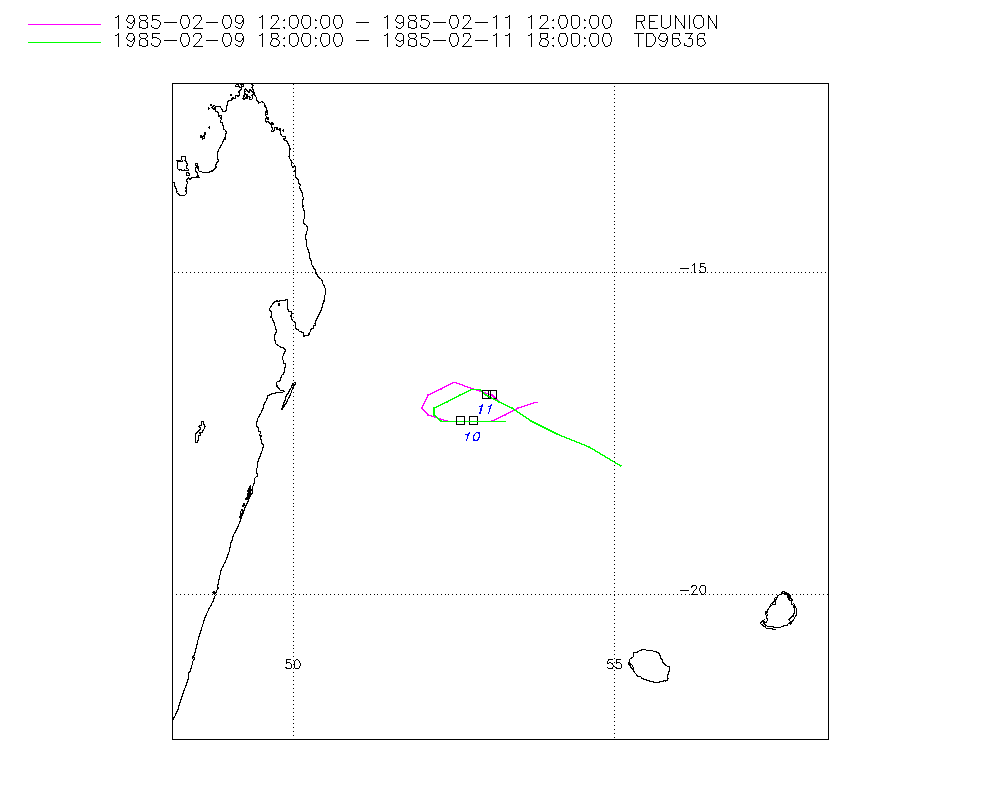
| Start |
Feb 9 09Z |
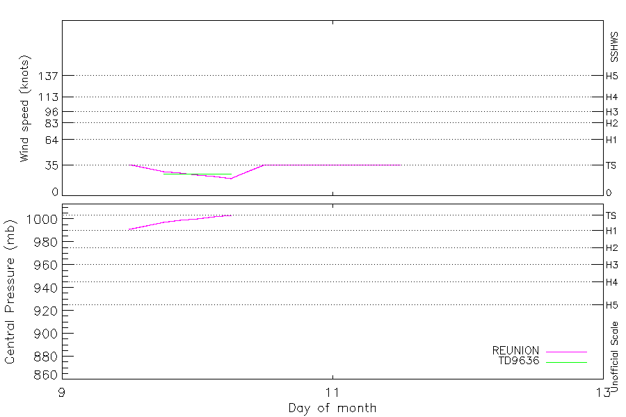
| Max Intensity |
36 kt (Feb 9 12Z), 991 mb (Feb 9 12Z) |
| End |
Feb 11 18Z |
| ATCF IDs |
|
| Track status |
Best track data. |
|
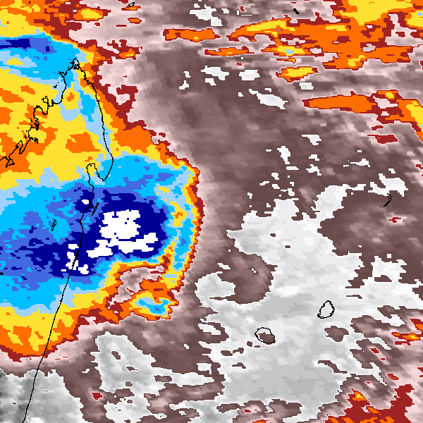
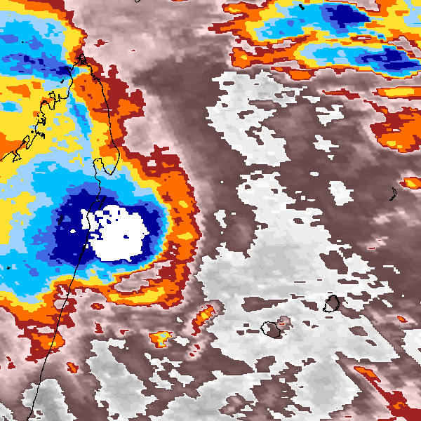
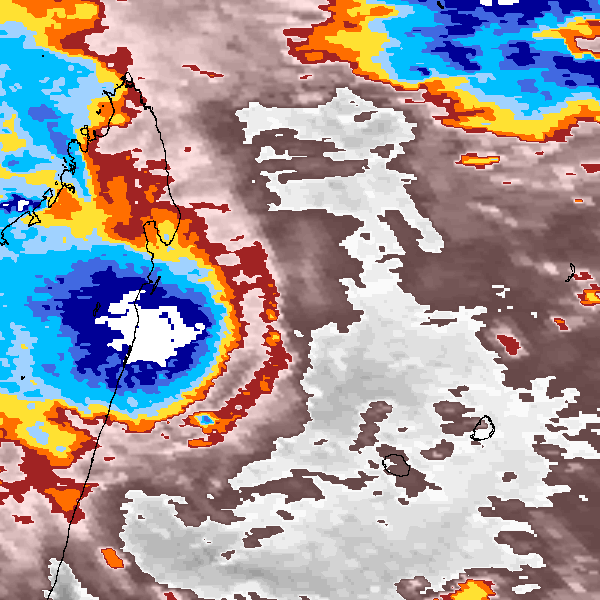
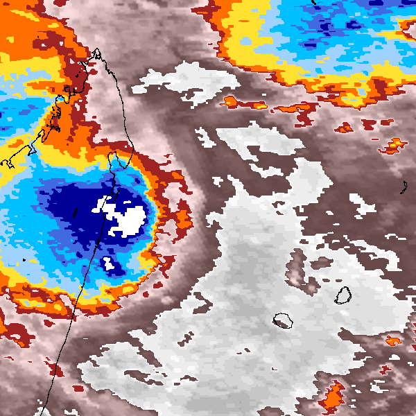
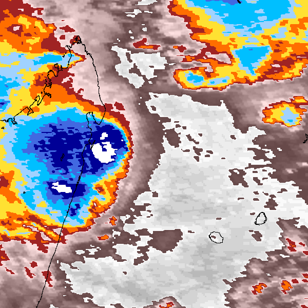
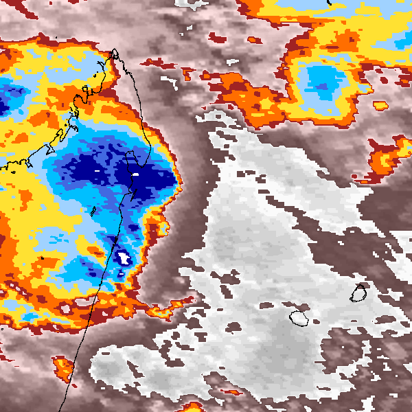
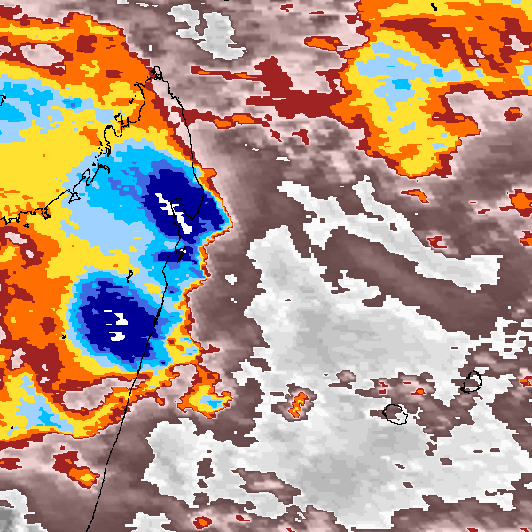
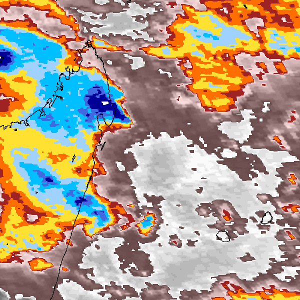
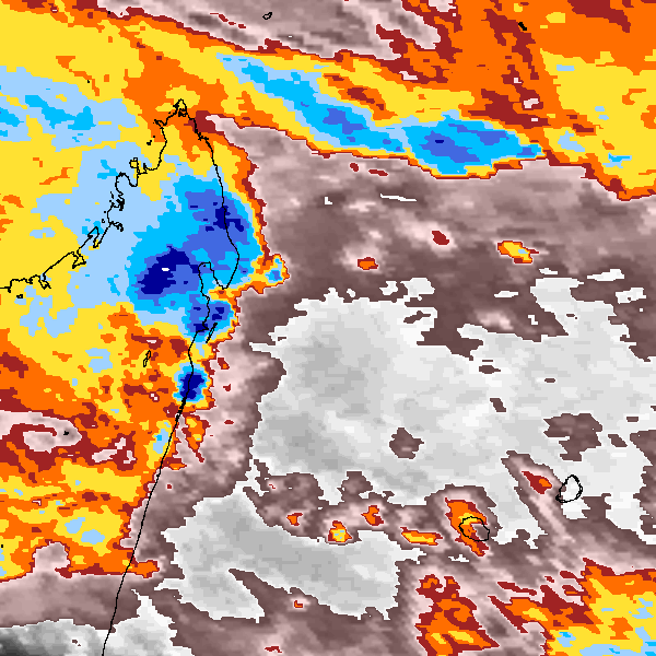
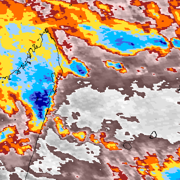
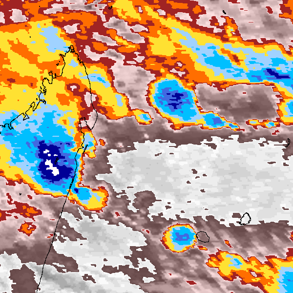
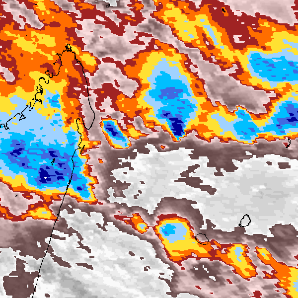
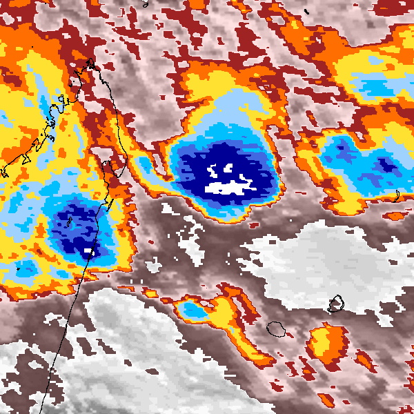
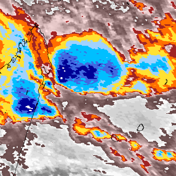
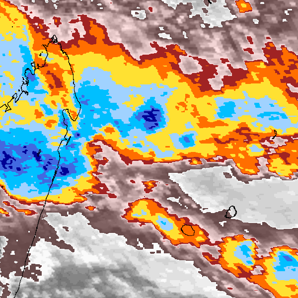
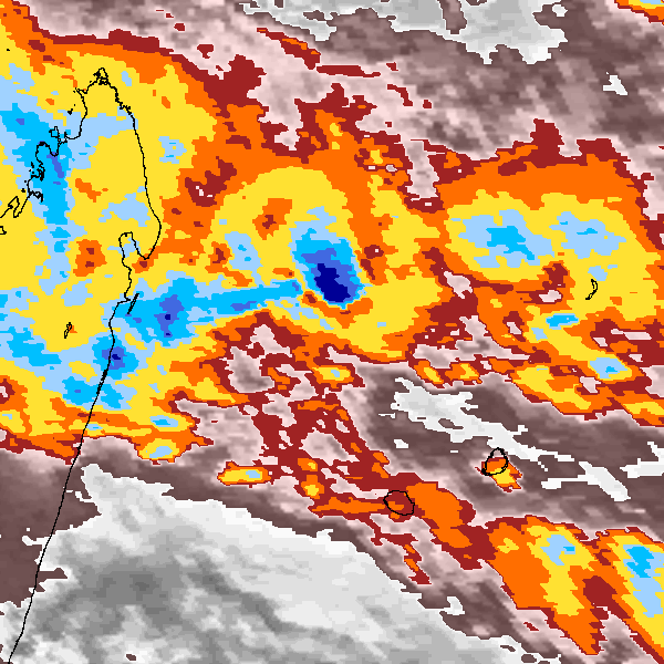
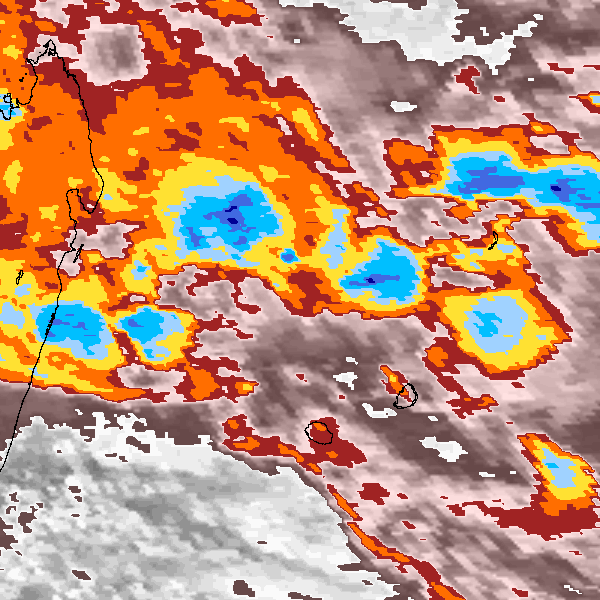
Storm track plot
|
Intensity plots
|
Radial wind information
No radial wind information for this storm
|
Position and Intensity Table
Source Information
| Agency |
Information |
| USA |
|
| TOKYO |
|
| CMA |
|
| HKO |
|
| KMA |
|
| NEWDELHI |
|
| REUNION |
WMO-Best-Tracks.txt:Line=13143:esitera |
| BOM |
|
| NADI |
|
| WELLINGTON |
|
| DS824 |
|
| TD9636 |
cons_worldwide_trop_cyclone_18710101-19891231-005:Line=12924 |
| TD9635 |
|
| NEUMANN |
|
| MLC |
|
All available IBTrACS Data
| SEASON |
BASIN |
SUBBASIN |
ISO_TIME_________ |
NATURE |
LAT |
LON |
WMO WIND |
WMO PRES |
WMO AGENCY |
DIST2LAND |
LANDFALL |
IFLAG |
USA SSHS |
REUNION LAT |
REUNION LON |
REUNION TYPE |
REUNION WIND |
REUNION PRES |
REUNION TNUM |
REUNION CI |
TD9636 LAT |
TD9636 LON |
TD9636 STAGE |
TD9636 WIND |
STORM SPEED |
STORM DIR |
| Year |
|
|
|
|
degrees north |
degrees east |
kts |
mb |
|
km |
km |
|
1 |
degrees north |
degrees east |
|
kts |
mb |
1 |
1 |
degrees north |
degrees east |
|
kts |
kts |
degrees |
| 1985 |
SI |
MM |
1985-02-09 09:00:00 |
TS |
-16.80 |
54.00 |
|
|
|
405 |
390 |
_______________ |
-5 |
|
|
|
|
|
|
|
|
|
|
|
5 |
225 |
| 1985 |
SI |
MM |
12:00:00 |
TS |
-17.00 |
53.80 |
36 |
991 |
reunion |
395 |
380 |
______O________ |
-5 |
-17.00 |
53.80 |
3 |
36 |
991 |
3.00 |
3.00 |
|
|
|
|
5 |
230 |
| 1985 |
SI |
MM |
15:00:00 |
TS |
-17.10 |
53.50 |
|
|
|
371 |
356 |
______P________ |
-5 |
-17.10 |
53.50 |
3 |
32 |
994 |
|
|
|
|
|
|
5 |
240 |
| 1985 |
SI |
MM |
18:00:00 |
TS |
-17.30 |
53.30 |
28 |
997 |
reunion |
356 |
331 |
______O____O___ |
-5 |
-17.20 |
53.30 |
2 |
28 |
997 |
2.50 |
2.50 |
-17.30 |
53.30 |
1 |
25 |
5 |
255 |
| 1985 |
SI |
MM |
21:00:00 |
TS |
-17.30 |
53.00 |
|
|
|
331 |
303 |
______P____P___ |
-5 |
-17.30 |
53.10 |
2 |
26 |
999 |
|
|
-17.30 |
52.90 |
1 |
25 |
6 |
265 |
| 1985 |
SI |
MM |
1985-02-10 00:00:00 |
TS |
-17.30 |
52.70 |
24 |
1000 |
reunion |
303 |
275 |
______O____P___ |
-5 |
-17.30 |
52.80 |
2 |
24 |
1000 |
2.00 |
2.00 |
-17.30 |
52.60 |
1 |
25 |
6 |
275 |
| 1985 |
SI |
MM |
03:00:00 |
TS |
-17.30 |
52.40 |
|
|
|
275 |
251 |
______P____P___ |
-5 |
-17.30 |
52.40 |
2 |
22 |
1002 |
|
|
-17.30 |
52.30 |
1 |
25 |
6 |
280 |
| 1985 |
SI |
MM |
06:00:00 |
TS |
-17.20 |
52.20 |
20 |
1003 |
reunion |
251 |
237 |
______O____O___ |
-5 |
-17.20 |
52.10 |
2 |
20 |
1003 |
1.50 |
1.50 |
-17.20 |
52.20 |
1 |
25 |
3 |
310 |
| 1985 |
SI |
MM |
09:00:00 |
TS |
-17.10 |
52.10 |
|
|
|
237 |
231 |
______P____P___ |
-5 |
-17.10 |
52.00 |
2 |
28 |
|
|
|
-17.10 |
52.20 |
1 |
|
3 |
15 |
| 1985 |
SI |
MM |
12:00:00 |
TS |
-16.90 |
52.20 |
36 |
|
reunion |
235 |
235 |
______O____P___ |
-5 |
-16.90 |
52.10 |
2 |
36 |
|
9.90 |
|
-17.00 |
52.40 |
1 |
|
4 |
45 |
| 1985 |
SI |
MM |
15:00:00 |
TS |
-16.80 |
52.40 |
|
|
|
250 |
250 |
______P____P___ |
-5 |
-16.80 |
52.30 |
2 |
36 |
|
|
|
-16.90 |
52.60 |
1 |
|
4 |
65 |
| 1985 |
SI |
MM |
18:00:00 |
TS |
-16.80 |
52.70 |
36 |
|
reunion |
274 |
274 |
______O____O___ |
-5 |
-16.70 |
52.50 |
2 |
36 |
|
9.90 |
|
-16.80 |
52.80 |
1 |
|
4 |
85 |
| 1985 |
SI |
MM |
21:00:00 |
TS |
-16.80 |
52.90 |
|
|
|
298 |
298 |
______P____P___ |
-5 |
-16.80 |
52.80 |
2 |
36 |
|
|
|
-16.80 |
52.90 |
1 |
|
4 |
110 |
| 1985 |
SI |
MM |
1985-02-11 00:00:00 |
TS |
-16.90 |
53.10 |
36 |
|
reunion |
322 |
322 |
______O____P___ |
-5 |
-16.90 |
53.10 |
2 |
36 |
|
9.90 |
|
-16.90 |
53.00 |
1 |
|
4 |
120 |
| 1985 |
SI |
MM |
03:00:00 |
TS |
-17.00 |
53.20 |
|
|
|
337 |
337 |
______P____P___ |
-5 |
-17.00 |
53.20 |
2 |
36 |
|
|
|
-17.00 |
53.20 |
1 |
|
4 |
125 |
| 1985 |
SI |
MM |
06:00:00 |
MX |
-17.10 |
53.40 |
36 |
|
reunion |
361 |
361 |
______O____O___ |
-5 |
-17.10 |
53.40 |
6 |
36 |
|
9.90 |
|
-17.10 |
53.40 |
1 |
|
6 |
125 |
| 1985 |
SI |
MM |
09:00:00 |
MX |
-17.30 |
53.70 |
|
|
|
399 |
399 |
______P____P___ |
-5 |
-17.30 |
53.70 |
6 |
36 |
|
|
|
-17.30 |
53.70 |
1 |
|
8 |
120 |
| 1985 |
SI |
MM |
12:00:00 |
MX |
-17.50 |
54.10 |
36 |
|
reunion |
411 |
376 |
______O____P___ |
-5 |
-17.50 |
54.10 |
6 |
36 |
|
9.90 |
|
-17.50 |
54.10 |
1 |
|
10 |
120 |
| 1985 |
SI |
MM |
15:00:00 |
TS |
-17.70 |
54.60 |
|
|
|
376 |
336 |
___________P___ |
-5 |
|
|
|
|
|
|
|
-17.70 |
54.60 |
1 |
|
11 |
120 |
| 1985 |
SI |
MM |
18:00:00 |
TS |
-18.00 |
55.10 |
|
|
|
336 |
|
___________O___ |
-5 |
|
|
|
|
|
|
|
-18.00 |
55.10 |
1 |
|
11 |
120 |