1989
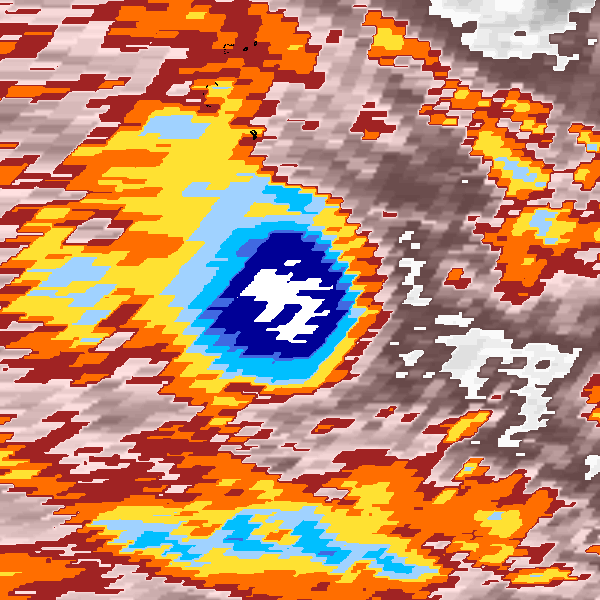
Tropical Depression KRISY (1989086S08081)
IBTrACS version v04r01. Visit
IBTrACS website for data access.
Please direct all questions to the
IBTrACS Q and A forum
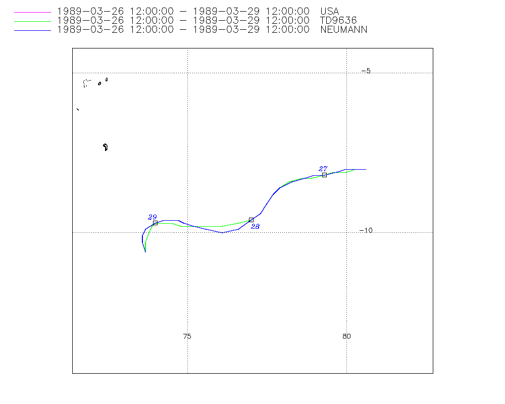
Storm track
-
Intensity
-
Wind Radii
-
Intensity Data
-
Source Data
-
All data
Summary Information
|
| Storm ID |
1989086S08081 |
| Start |
Mar 26 12Z |
| Max Intensity |
30 kt (Mar 29 12Z) |
| End |
Mar 29 18Z |
| ATCF IDs |
,SH211989 |
| Track status |
Best track data. |
|
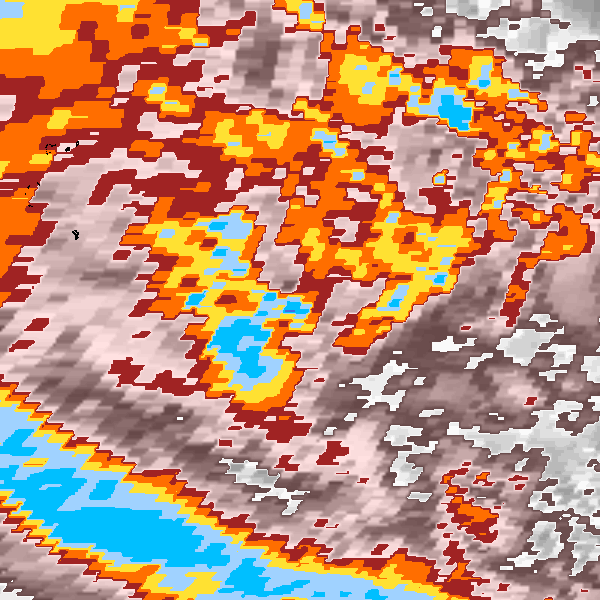
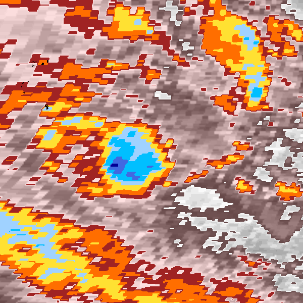
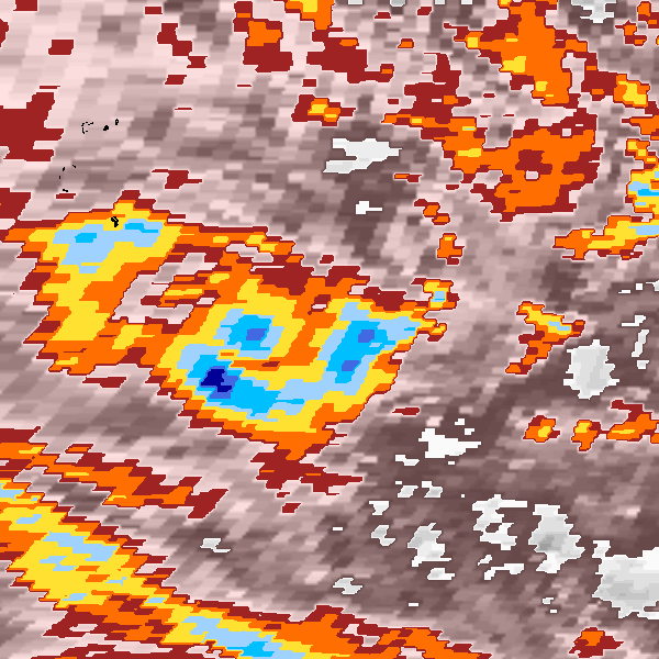
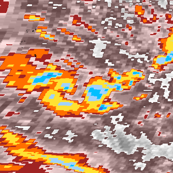
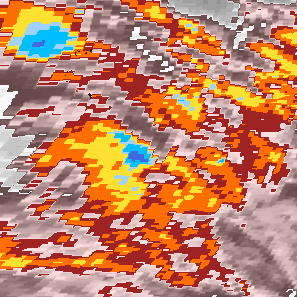
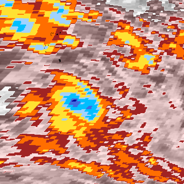
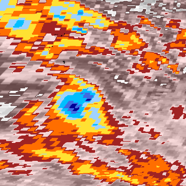
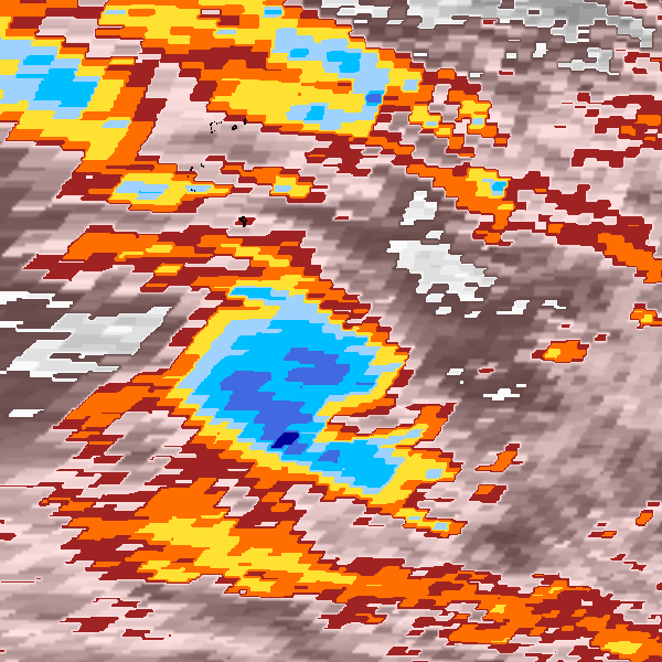
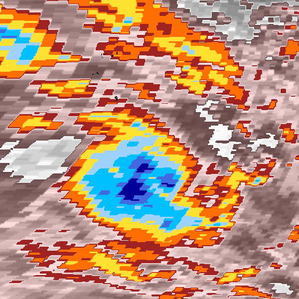
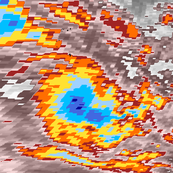
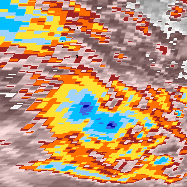
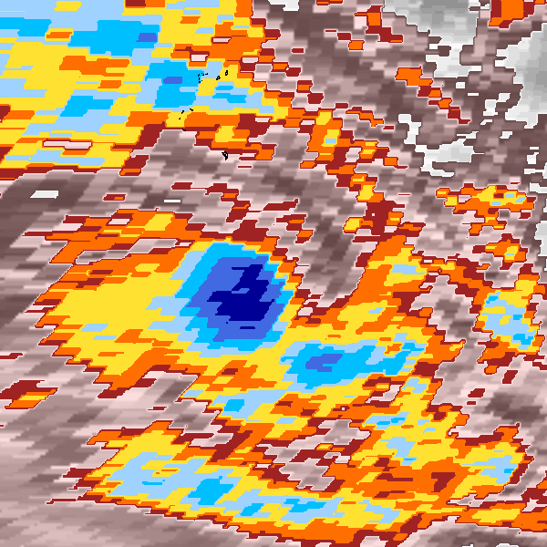
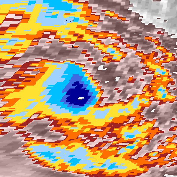
Storm track plot
|
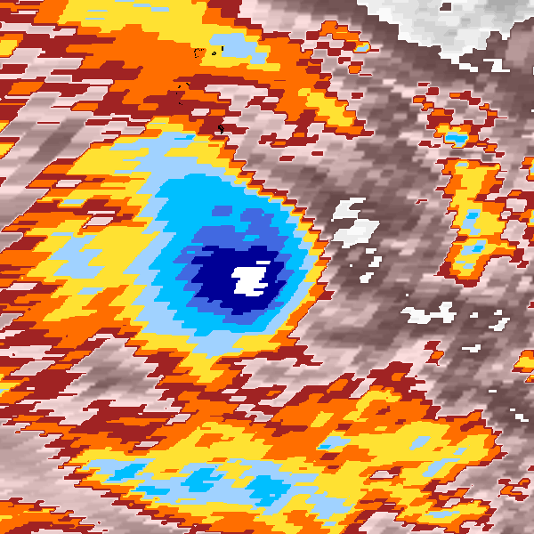
Intensity plots

|
Radial wind information
No radial wind information for this storm
|
Position and Intensity Table
Source Information
| Agency |
Information |
| USA |
bsh211989.txt |
| TOKYO |
|
| CMA |
|
| HKO |
|
| KMA |
|
| NEWDELHI |
|
| REUNION |
|
| BOM |
|
| NADI |
|
| WELLINGTON |
|
| DS824 |
|
| TD9636 |
cons_worldwide_trop_cyclone_18710101-19891231-005:Line=14109 |
| TD9635 |
|
| NEUMANN |
tracks.sh:Storm=861:KRISY:BSH211989:JTWC |
| MLC |
|
All available IBTrACS Data
| SEASON |
BASIN |
SUBBASIN |
ISO_TIME_________ |
NATURE |
LAT |
LON |
DIST2LAND |
LANDFALL |
IFLAG |
USA AGENCY |
USA ATCF_ID |
USA LAT |
USA LON |
USA WIND |
USA SSHS |
TD9636 LAT |
TD9636 LON |
TD9636 STAGE |
TD9636 WIND |
NEUMANN LAT |
NEUMANN LON |
NEUMANN CLASS |
NEUMANN WIND |
STORM SPEED |
STORM DIR |
| Year |
|
|
|
|
degrees north |
degrees east |
km |
km |
|
|
|
degrees north |
degrees east |
kts |
1 |
degrees north |
degrees east |
|
kts |
degrees north |
degrees east |
|
kts |
kts |
degrees |
| 1989 |
SI |
MM |
1989-03-26 12:00:00 |
TS |
-8.00 |
80.60 |
1557 |
1557 |
O__________O_O_ |
jtwc_sh |
SH211989 |
-8.00 |
80.60 |
20 |
-1 |
-8.00 |
80.60 |
1 |
20 |
-8.00 |
80.60 |
TC |
20 |
6 |
270 |
| 1989 |
SI |
MM |
15:00:00 |
TS |
-8.00 |
80.30 |
1557 |
1557 |
P__________P_P_ |
|
SH211989 |
-8.00 |
80.30 |
20 |
-1 |
-8.00 |
80.30 |
1 |
20 |
-8.00 |
80.30 |
TC |
20 |
6 |
265 |
| 1989 |
SI |
MM |
18:00:00 |
TS |
-8.00 |
80.00 |
1559 |
1559 |
O__________P_O_ |
jtwc_sh |
SH211989 |
-8.00 |
80.00 |
20 |
-1 |
-8.10 |
80.00 |
1 |
20 |
-8.00 |
80.00 |
TC |
20 |
7 |
260 |
| 1989 |
SI |
MM |
21:00:00 |
TS |
-8.10 |
79.60 |
1572 |
1572 |
P__________P_P_ |
|
SH211989 |
-8.10 |
79.70 |
20 |
-1 |
-8.10 |
79.60 |
1 |
20 |
-8.10 |
79.70 |
TC |
20 |
7 |
255 |
| 1989 |
SI |
MM |
1989-03-27 00:00:00 |
TS |
-8.20 |
79.30 |
1586 |
1586 |
O__________O_O_ |
jtwc_sh |
SH211989 |
-8.20 |
79.30 |
20 |
-1 |
-8.20 |
79.30 |
1 |
20 |
-8.20 |
79.30 |
TC |
20 |
7 |
260 |
| 1989 |
SI |
MM |
03:00:00 |
TS |
-8.20 |
79.00 |
1589 |
1589 |
P__________P_P_ |
|
SH211989 |
-8.20 |
79.00 |
20 |
-1 |
-8.30 |
78.90 |
1 |
20 |
-8.20 |
79.00 |
TC |
20 |
6 |
260 |
| 1989 |
SI |
MM |
06:00:00 |
TS |
-8.30 |
78.70 |
1605 |
1605 |
O__________P_O_ |
jtwc_sh |
SH211989 |
-8.30 |
78.70 |
20 |
-1 |
-8.30 |
78.60 |
1 |
20 |
-8.30 |
78.70 |
TC |
20 |
7 |
255 |
| 1989 |
SI |
MM |
09:00:00 |
TS |
-8.40 |
78.30 |
1622 |
1622 |
P__________P_P_ |
|
SH211989 |
-8.40 |
78.30 |
20 |
-1 |
-8.40 |
78.20 |
1 |
20 |
-8.40 |
78.30 |
TC |
20 |
8 |
250 |
| 1989 |
SI |
MM |
12:00:00 |
TS |
-8.60 |
77.90 |
1652 |
1652 |
O__________O_O_ |
jtwc_sh |
SH211989 |
-8.60 |
77.90 |
20 |
-1 |
-8.60 |
77.90 |
1 |
20 |
-8.60 |
77.90 |
TC |
20 |
7 |
235 |
| 1989 |
SI |
MM |
15:00:00 |
TS |
-8.80 |
77.70 |
1678 |
1678 |
P__________P_P_ |
|
SH211989 |
-8.80 |
77.70 |
20 |
-1 |
-8.80 |
77.70 |
1 |
20 |
-8.80 |
77.70 |
TC |
20 |
6 |
220 |
| 1989 |
SI |
MM |
18:00:00 |
TS |
-9.10 |
77.50 |
1715 |
1715 |
O__________P_O_ |
jtwc_sh |
SH211989 |
-9.10 |
77.50 |
20 |
-1 |
-9.10 |
77.50 |
1 |
20 |
-9.10 |
77.50 |
TC |
20 |
7 |
215 |
| 1989 |
SI |
MM |
21:00:00 |
TS |
-9.40 |
77.30 |
1753 |
1753 |
P__________P_P_ |
|
SH211989 |
-9.40 |
77.30 |
20 |
-1 |
-9.40 |
77.30 |
1 |
20 |
-9.40 |
77.30 |
TC |
20 |
7 |
225 |
| 1989 |
SI |
MM |
1989-03-28 00:00:00 |
TS |
-9.60 |
77.00 |
1782 |
1782 |
O__________O_O_ |
jtwc_sh |
SH211989 |
-9.60 |
77.00 |
20 |
-1 |
-9.60 |
77.00 |
1 |
20 |
-9.60 |
77.00 |
TC |
20 |
8 |
235 |
| 1989 |
SI |
MM |
03:00:00 |
TS |
-9.80 |
76.60 |
1814 |
1814 |
P__________P_P_ |
|
SH211989 |
-9.90 |
76.60 |
20 |
-1 |
-9.70 |
76.60 |
1 |
21 |
-9.90 |
76.60 |
TC |
20 |
9 |
250 |
| 1989 |
SI |
MM |
06:00:00 |
TS |
-9.90 |
76.10 |
1839 |
1839 |
O__________P_O_ |
jtwc_sh |
SH211989 |
-10.00 |
76.10 |
20 |
-1 |
-9.80 |
76.10 |
1 |
23 |
-10.00 |
76.10 |
TC |
20 |
9 |
265 |
| 1989 |
SI |
MM |
09:00:00 |
TS |
-9.90 |
75.60 |
1855 |
1851 |
P__________P_P_ |
|
SH211989 |
-9.90 |
75.60 |
23 |
-1 |
-9.80 |
75.60 |
1 |
24 |
-9.90 |
75.60 |
TC |
23 |
9 |
280 |
| 1989 |
SI |
MM |
12:00:00 |
TS |
-9.80 |
75.20 |
1858 |
1854 |
O__________O_O_ |
jtwc_sh |
SH211989 |
-9.80 |
75.20 |
25 |
-1 |
-9.80 |
75.20 |
1 |
25 |
-9.80 |
75.20 |
TC |
25 |
7 |
285 |
| 1989 |
SI |
MM |
15:00:00 |
TS |
-9.70 |
74.90 |
1858 |
1855 |
P__________P_P_ |
|
SH211989 |
-9.70 |
74.90 |
25 |
-1 |
-9.80 |
74.80 |
1 |
25 |
-9.70 |
74.90 |
TC |
25 |
6 |
285 |
| 1989 |
SI |
MM |
18:00:00 |
TS |
-9.60 |
74.60 |
1858 |
1858 |
O__________P_O_ |
jtwc_sh |
SH211989 |
-9.60 |
74.70 |
25 |
-1 |
-9.70 |
74.50 |
1 |
25 |
-9.60 |
74.70 |
TC |
25 |
6 |
280 |
| 1989 |
SI |
MM |
21:00:00 |
TS |
-9.60 |
74.30 |
1870 |
1870 |
P__________P_P_ |
|
SH211989 |
-9.60 |
74.30 |
25 |
-1 |
-9.70 |
74.20 |
1 |
25 |
-9.60 |
74.30 |
TC |
25 |
6 |
265 |
| 1989 |
SI |
MM |
1989-03-29 00:00:00 |
TS |
-9.70 |
74.00 |
1892 |
1892 |
O__________O_O_ |
jtwc_sh |
SH211989 |
-9.70 |
74.00 |
25 |
-1 |
-9.70 |
74.00 |
1 |
25 |
-9.70 |
74.00 |
TC |
25 |
6 |
245 |
| 1989 |
SI |
MM |
03:00:00 |
TS |
-9.90 |
73.80 |
1921 |
1921 |
P__________P_P_ |
|
SH211989 |
-9.90 |
73.70 |
25 |
-1 |
-9.80 |
73.90 |
1 |
26 |
-9.90 |
73.70 |
TC |
25 |
5 |
220 |
| 1989 |
SI |
MM |
06:00:00 |
TS |
-10.10 |
73.70 |
1946 |
1946 |
O__________P_O_ |
jtwc_sh |
SH211989 |
-10.10 |
73.60 |
25 |
-1 |
-10.00 |
73.80 |
1 |
28 |
-10.10 |
73.60 |
TC |
25 |
5 |
195 |
| 1989 |
SI |
MM |
09:00:00 |
TS |
-10.30 |
73.70 |
1967 |
1967 |
P__________P_P_ |
|
SH211989 |
-10.30 |
73.60 |
28 |
-1 |
-10.30 |
73.70 |
1 |
29 |
-10.30 |
73.60 |
TC |
28 |
5 |
175 |
| 1989 |
SI |
MM |
12:00:00 |
TS |
-10.60 |
73.70 |
1998 |
1998 |
O__________O_O_ |
jtwc_sh |
SH211989 |
-10.60 |
73.70 |
30 |
-1 |
-10.60 |
73.70 |
1 |
30 |
-10.60 |
73.70 |
TC |
30 |
6 |
180 |
| 1989 |
SI |
MM |
15:00:00 |
TS |
-10.90 |
73.60 |
1988 |
1961 |
_______________ |
|
SH211989 |
|
|
|
-5 |
|
|
|
|
|
|
|
|
6 |
195 |
| 1989 |
SI |
MM |
18:00:00 |
TS |
-11.20 |
73.50 |
1961 |
|
_______________ |
|
|
|
|
|
-5 |
|
|
|
|
|
|
|
|
6 |
205 |