1990
Severe Tropical Storm CECIL (1990245N20123)
IBTrACS version v04r01. Visit
IBTrACS website for data access.
Please direct all questions to the
IBTrACS Q and A forum
Storm track
-
Intensity
-
Wind Radii
-
Intensity Data
-
Source Data
-
All data
Summary Information
|
| Storm ID |
1990245N20123 |
| Start |
Sep 2 06Z |
| Landfall |
Sep 4 12Z |
| Max Intensity |
58 kt (Sep 4 06Z), 990 mb (Sep 4 06Z) |
| End |
Sep 5 00Z |
| ATCF IDs |
WP181990 |
| Track status |
Best track data. |
|
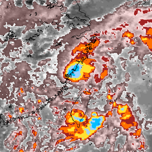
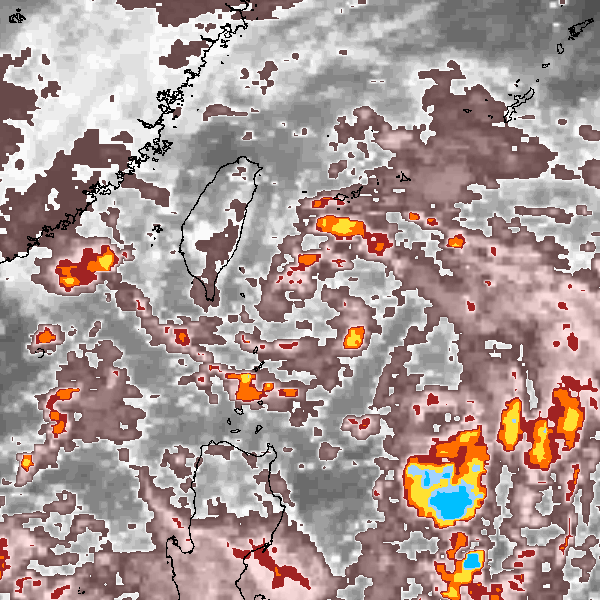
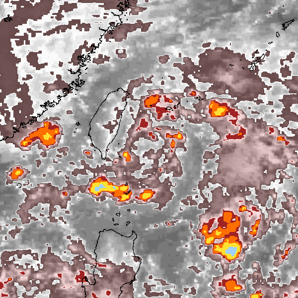
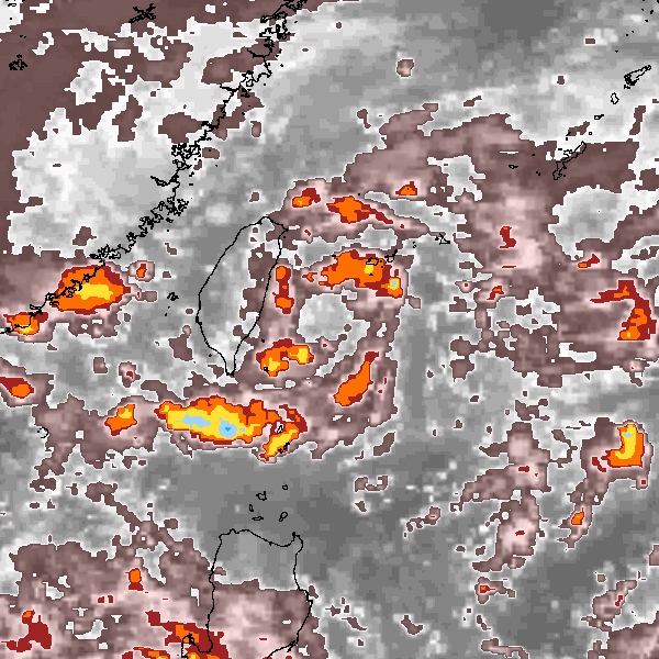
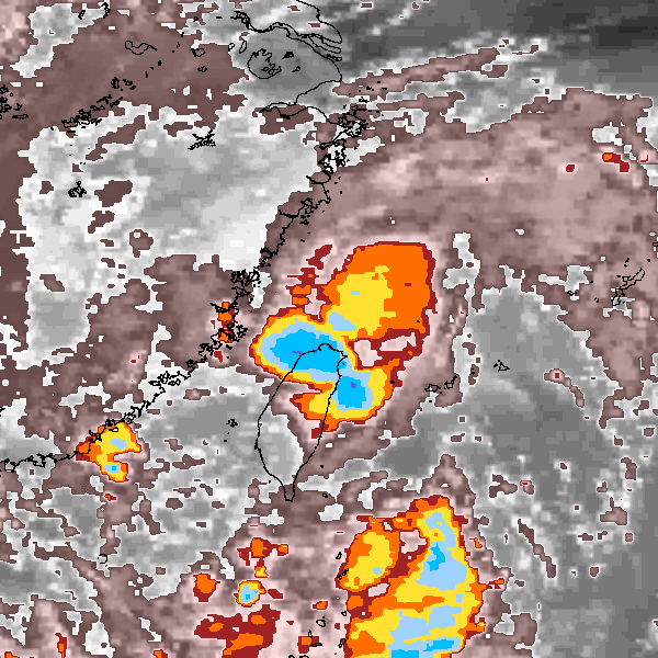
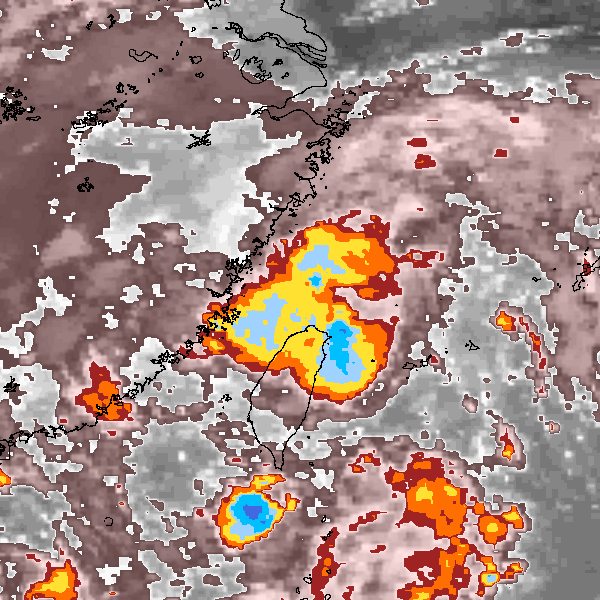
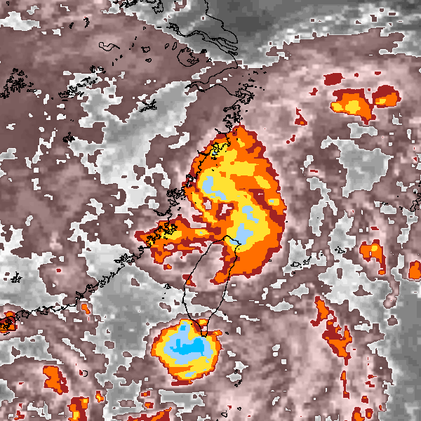
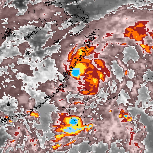
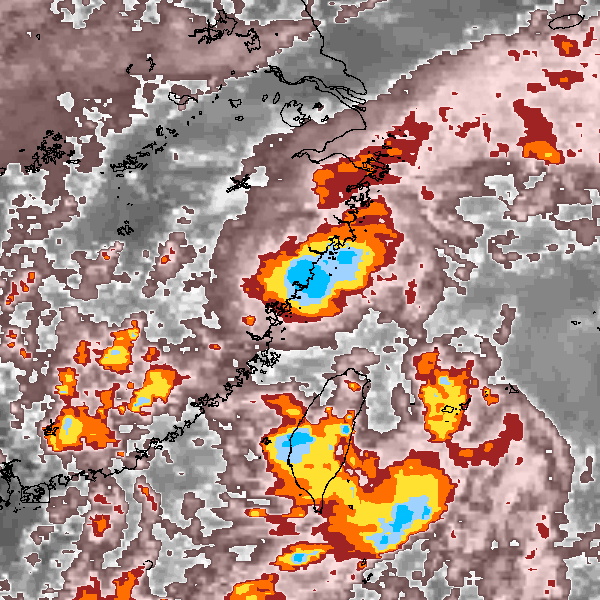
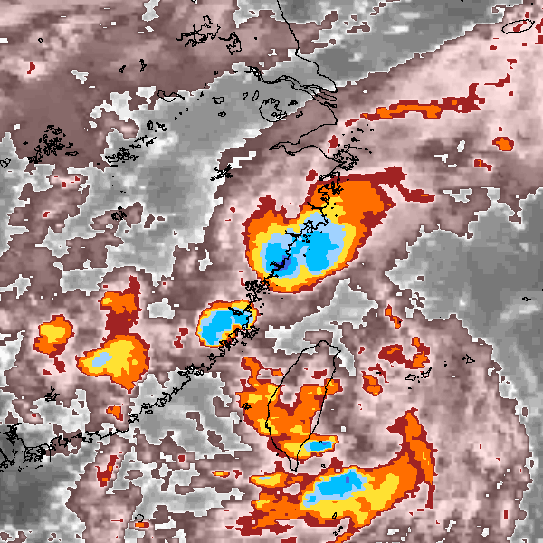
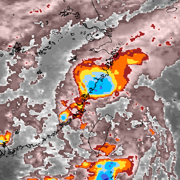
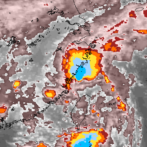
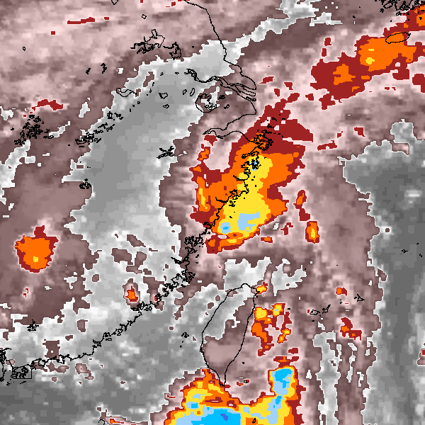
Storm track plot
|
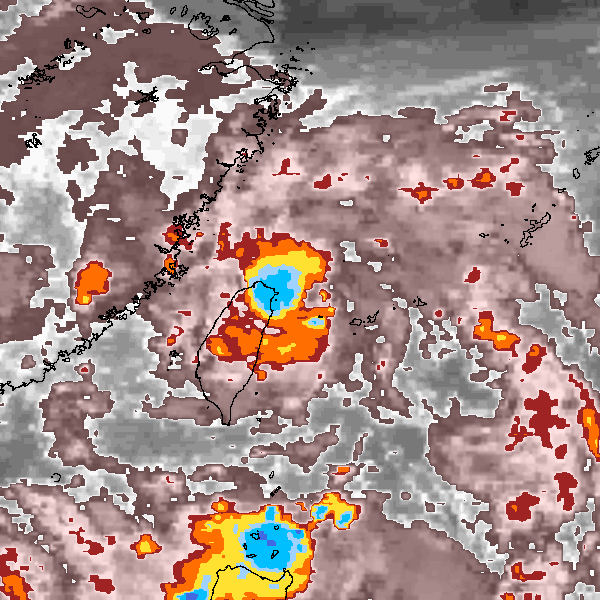
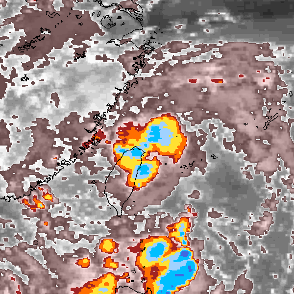
Intensity plots

|
Radial wind information
No radial wind information for this storm
|
Position and Intensity Table
| BASIN |
ISO_TIME_________ |
NATURE |
LAT |
LON |
USA WIND |
CMA WIND |
CMA PRES |
HKO WIND |
HKO PRES |
| |
|
|
degrees north |
degrees east |
kts |
kts |
mb |
kts |
mb |
| WP |
1990-09-02 06:00:00 |
NR |
20.10 |
122.90 |
15 |
|
|
|
|
| WP |
09:00:00 |
NR |
20.60 |
122.80 |
15 |
|
|
|
|
| WP |
12:00:00 |
TS |
21.00 |
122.90 |
15 |
23 |
1002 |
|
|
| WP |
15:00:00 |
TS |
21.50 |
122.90 |
18 |
23 |
1002 |
|
|
| WP |
18:00:00 |
TS |
21.90 |
122.90 |
20 |
23 |
1002 |
|
|
| WP |
21:00:00 |
TS |
22.40 |
122.90 |
23 |
26 |
1001 |
|
|
| WP |
1990-09-03 00:00:00 |
TS |
22.90 |
122.90 |
25 |
29 |
1000 |
|
|
| WP |
03:00:00 |
TS |
23.40 |
122.80 |
25 |
29 |
1000 |
|
|
| WP |
06:00:00 |
TS |
23.80 |
122.70 |
25 |
29 |
1000 |
25 |
1000 |
| WP |
09:00:00 |
TS |
24.40 |
122.70 |
25 |
29 |
1000 |
28 |
1000 |
| WP |
12:00:00 |
TS |
24.90 |
122.50 |
25 |
29 |
1000 |
30 |
1000 |
| WP |
15:00:00 |
TS |
25.30 |
122.10 |
28 |
34 |
999 |
33 |
998 |
| WP |
18:00:00 |
TS |
25.60 |
121.60 |
30 |
38 |
998 |
35 |
995 |
| WP |
21:00:00 |
TS |
25.90 |
121.30 |
33 |
43 |
997 |
35 |
995 |
| WP |
1990-09-04 00:00:00 |
TS |
26.10 |
121.00 |
35 |
48 |
995 |
35 |
995 |
| WP |
03:00:00 |
TS |
26.40 |
120.80 |
38 |
53 |
993 |
40 |
993 |
| WP |
06:00:00 |
TS |
26.70 |
120.60 |
40 |
58 |
990 |
45 |
990 |
| WP |
09:00:00 |
TS |
26.90 |
120.40 |
43 |
48 |
995 |
43 |
993 |
| WP |
12:00:00 |
TS |
27.10 |
120.20 |
45 |
38 |
1000 |
40 |
995 |
| WP |
15:00:00 |
TS |
27.20 |
120.20 |
40 |
38 |
1000 |
33 |
998 |
| WP |
18:00:00 |
TS |
27.30 |
120.30 |
35 |
38 |
1000 |
25 |
1000 |
| WP |
21:00:00 |
TS |
27.60 |
120.50 |
28 |
34 |
1001 |
|
|
| WP |
1990-09-05 00:00:00 |
TS |
28.10 |
120.70 |
20 |
29 |
1002 |
|
|
Source Information
| Agency |
Information |
| USA |
bwp181990.txt |
| TOKYO |
|
| CMA |
CH1990BST.txt:Storm=23:Cecil |
| HKO |
tc-besttrack-data-current.txt:Line=20899:CECIL |
| KMA |
|
| NEWDELHI |
|
| REUNION |
|
| BOM |
|
| NADI |
|
| WELLINGTON |
|
| DS824 |
|
| TD9636 |
|
| TD9635 |
|
| NEUMANN |
|
| MLC |
|
All available IBTrACS Data
| SEASON |
BASIN |
SUBBASIN |
ISO_TIME_________ |
NATURE |
LAT |
LON |
DIST2LAND |
LANDFALL |
IFLAG |
USA AGENCY |
USA ATCF_ID |
USA LAT |
USA LON |
USA WIND |
USA SSHS |
CMA LAT |
CMA LON |
CMA CAT |
CMA WIND |
CMA PRES |
HKO LAT |
HKO LON |
HKO CAT |
HKO WIND |
HKO PRES |
STORM SPEED |
STORM DIR |
| Year |
|
|
|
|
degrees north |
degrees east |
km |
km |
|
|
|
degrees north |
degrees east |
kts |
1 |
degrees north |
degrees east |
1 |
kts |
mb |
degrees north |
degrees east |
|
kts |
mb |
kts |
degrees |
| 1990 |
WP |
MM |
1990-09-02 06:00:00 |
NR |
20.10 |
122.90 |
200 |
200 |
O______________ |
jtwc_wp |
WP181990 |
20.10 |
122.90 |
15 |
-1 |
|
|
|
|
|
|
|
|
|
|
9 |
355 |
| 1990 |
WP |
MM |
09:00:00 |
NR |
20.60 |
122.80 |
244 |
220 |
P______________ |
|
WP181990 |
20.60 |
122.80 |
15 |
-1 |
|
|
|
|
|
|
|
|
|
|
9 |
360 |
| 1990 |
WP |
MM |
12:00:00 |
TS |
21.00 |
122.90 |
230 |
214 |
O_O____________ |
jtwc_wp |
WP181990 |
21.00 |
122.80 |
15 |
-1 |
21.00 |
123.00 |
1 |
23 |
1002 |
|
|
|
|
|
9 |
0 |
| 1990 |
WP |
MM |
15:00:00 |
TS |
21.50 |
122.90 |
211 |
204 |
P_P____________ |
|
WP181990 |
21.40 |
122.80 |
18 |
-1 |
21.50 |
123.00 |
1 |
23 |
1002 |
|
|
|
|
|
9 |
5 |
| 1990 |
WP |
MM |
18:00:00 |
TS |
21.90 |
122.90 |
204 |
172 |
O_O____________ |
jtwc_wp |
WP181990 |
21.90 |
122.80 |
20 |
-1 |
22.00 |
123.00 |
1 |
23 |
1002 |
|
|
|
|
|
10 |
5 |
| 1990 |
WP |
MM |
21:00:00 |
TS |
22.40 |
122.90 |
172 |
155 |
P_P____________ |
|
WP181990 |
22.30 |
122.80 |
23 |
-1 |
22.50 |
123.00 |
1 |
26 |
1001 |
|
|
|
|
|
10 |
0 |
| 1990 |
WP |
MM |
1990-09-03 00:00:00 |
TS |
22.90 |
122.90 |
155 |
139 |
O_O____________ |
jtwc_wp |
WP181990 |
22.80 |
122.80 |
25 |
-1 |
23.00 |
123.00 |
1 |
29 |
1000 |
|
|
|
|
|
10 |
355 |
| 1990 |
WP |
MM |
03:00:00 |
TS |
23.40 |
122.80 |
136 |
112 |
P_P____________ |
|
WP181990 |
23.20 |
122.80 |
25 |
-1 |
23.50 |
122.90 |
1 |
29 |
1000 |
|
|
|
|
|
10 |
350 |
| 1990 |
WP |
MM |
06:00:00 |
TS |
23.80 |
122.70 |
112 |
83 |
O_OO___________ |
jtwc_wp |
WP181990 |
23.70 |
122.80 |
25 |
-1 |
24.00 |
122.70 |
1 |
29 |
1000 |
23.80 |
122.50 |
TD |
25 |
1000 |
10 |
350 |
| 1990 |
WP |
MM |
09:00:00 |
TS |
24.40 |
122.70 |
81 |
55 |
P_PP___________ |
|
WP181990 |
24.20 |
122.70 |
25 |
-1 |
24.50 |
122.70 |
1 |
29 |
1000 |
24.40 |
122.50 |
TD |
28 |
1000 |
10 |
350 |
| 1990 |
WP |
MM |
12:00:00 |
TS |
24.90 |
122.50 |
51 |
30 |
O_OO___________ |
jtwc_wp |
WP181990 |
24.60 |
122.60 |
25 |
-1 |
25.00 |
122.50 |
1 |
29 |
1000 |
25.00 |
122.40 |
TD |
30 |
1000 |
10 |
330 |
| 1990 |
WP |
MM |
15:00:00 |
TS |
25.30 |
122.10 |
34 |
33 |
P_PP___________ |
|
WP181990 |
25.00 |
122.30 |
28 |
-1 |
25.40 |
122.00 |
1 |
34 |
999 |
25.40 |
122.00 |
TD |
33 |
998 |
11 |
315 |
| 1990 |
WP |
MM |
18:00:00 |
TS |
25.60 |
121.60 |
44 |
44 |
O_OO___________ |
jtwc_wp |
WP181990 |
25.40 |
122.00 |
30 |
-1 |
25.70 |
121.40 |
2 |
38 |
998 |
25.70 |
121.50 |
TS |
35 |
995 |
10 |
310 |
| 1990 |
WP |
MM |
21:00:00 |
TS |
25.90 |
121.30 |
78 |
78 |
P_PP___________ |
|
WP181990 |
25.70 |
121.60 |
33 |
-1 |
26.00 |
121.10 |
2 |
43 |
997 |
26.00 |
121.20 |
TS |
35 |
995 |
8 |
315 |
| 1990 |
WP |
MM |
1990-09-04 00:00:00 |
TS |
26.10 |
121.00 |
105 |
73 |
O_OO___________ |
jtwc_wp |
WP181990 |
25.90 |
121.20 |
35 |
0 |
26.20 |
120.90 |
3 |
48 |
995 |
26.30 |
120.90 |
TS |
35 |
995 |
7 |
320 |
| 1990 |
WP |
MM |
03:00:00 |
TS |
26.40 |
120.80 |
73 |
44 |
P_PP___________ |
|
WP181990 |
26.20 |
120.90 |
38 |
0 |
26.50 |
120.70 |
3 |
53 |
993 |
26.50 |
120.70 |
TS |
40 |
993 |
7 |
325 |
| 1990 |
WP |
MM |
06:00:00 |
TS |
26.70 |
120.60 |
44 |
14 |
O_OO___________ |
jtwc_wp |
WP181990 |
26.60 |
120.60 |
40 |
0 |
26.70 |
120.50 |
3 |
58 |
990 |
26.70 |
120.60 |
TS |
45 |
990 |
6 |
325 |
| 1990 |
WP |
MM |
09:00:00 |
TS |
26.90 |
120.40 |
14 |
0 |
P_PP___________ |
|
WP181990 |
26.90 |
120.30 |
43 |
0 |
26.90 |
120.30 |
3 |
48 |
995 |
26.90 |
120.50 |
TS |
43 |
993 |
5 |
325 |
| 1990 |
WP |
MM |
12:00:00 |
TS |
27.10 |
120.20 |
0 |
0 |
O_OO___________ |
jtwc_wp |
WP181990 |
27.20 |
120.20 |
45 |
0 |
27.00 |
120.10 |
2 |
38 |
1000 |
27.00 |
120.40 |
TS |
40 |
995 |
3 |
335 |
| 1990 |
WP |
MM |
15:00:00 |
TS |
27.20 |
120.20 |
0 |
0 |
P_PP___________ |
|
WP181990 |
27.40 |
120.30 |
40 |
0 |
27.00 |
120.00 |
2 |
38 |
1000 |
27.10 |
120.40 |
TS |
33 |
998 |
2 |
25 |
| 1990 |
WP |
MM |
18:00:00 |
TS |
27.30 |
120.30 |
0 |
0 |
O_OO___________ |
jtwc_wp |
WP181990 |
27.60 |
120.50 |
35 |
0 |
27.00 |
120.10 |
2 |
38 |
1000 |
27.20 |
120.40 |
TD |
25 |
1000 |
5 |
25 |
| 1990 |
WP |
MM |
21:00:00 |
TS |
27.60 |
120.50 |
0 |
0 |
P_P____________ |
|
WP181990 |
27.90 |
120.70 |
28 |
-1 |
27.40 |
120.20 |
2 |
34 |
1001 |
|
|
|
|
|
9 |
20 |
| 1990 |
WP |
MM |
1990-09-05 00:00:00 |
TS |
28.10 |
120.70 |
0 |
|
O_O____________ |
jtwc_wp |
WP181990 |
28.30 |
120.90 |
20 |
-1 |
27.90 |
120.40 |
1 |
29 |
1002 |
|
|
|
|
|
10 |
20 |