1992
Tropical Depression GERDA (1992055S17053)
IBTrACS version v04r01. Visit
IBTrACS website for data access.
Please direct all questions to the
IBTrACS Q and A forum
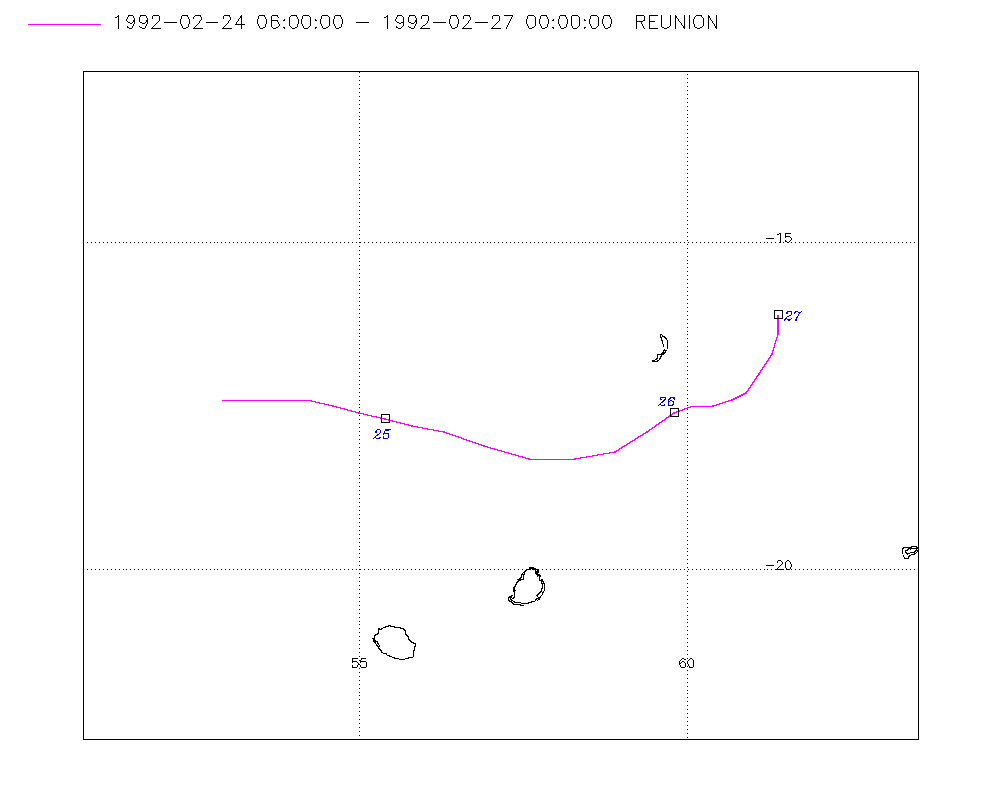
Storm track
-
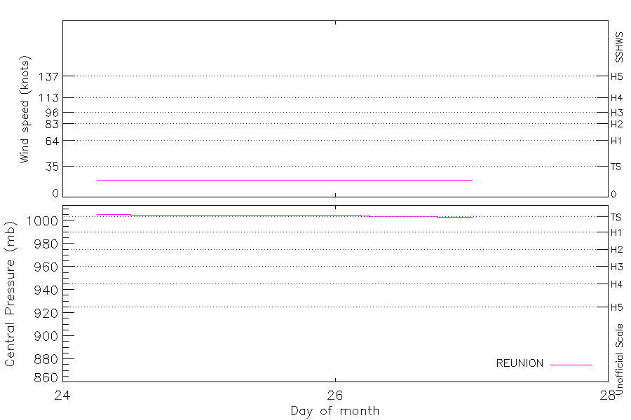
Intensity
-
Wind Radii
-
Intensity Data
-
Source Data
-
All data
Summary Information
|
|
| Storm ID |
1992055S17053 |
| Start |
Feb 24 06Z |
| Max Intensity |
20 kt (Feb 24 09Z) |
| End |
Feb 27 00Z |
| ATCF IDs |
|
| Track status |
Best track data. |
|
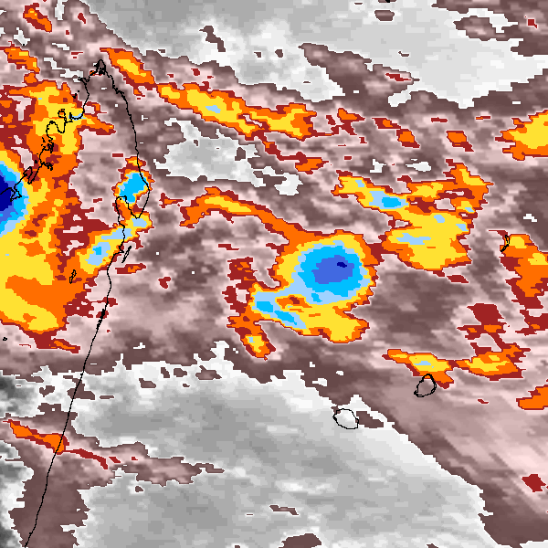
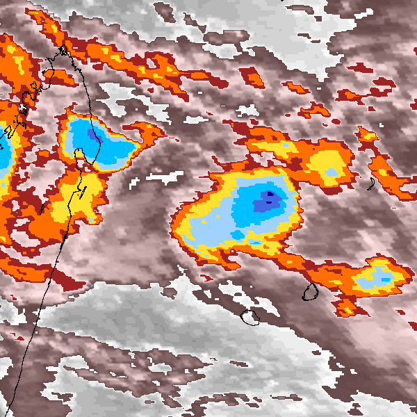
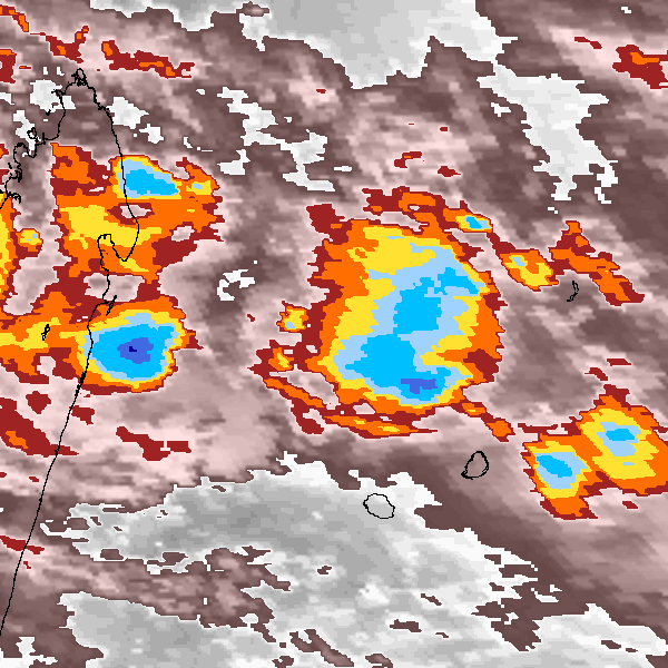
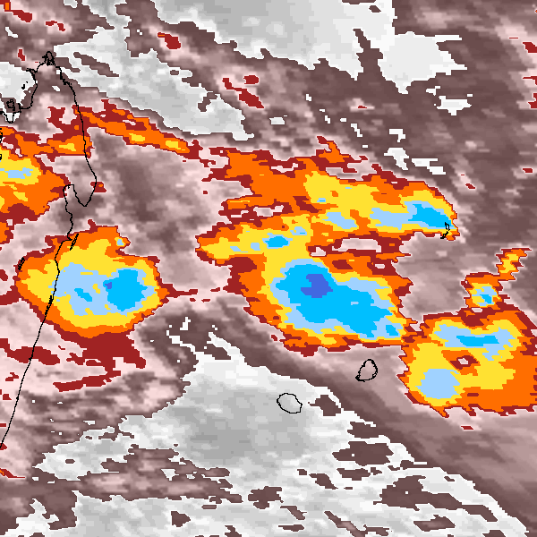
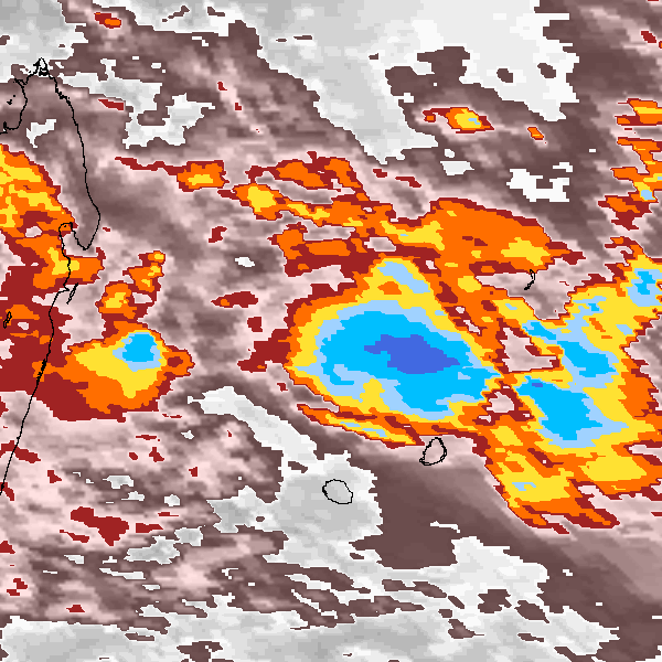
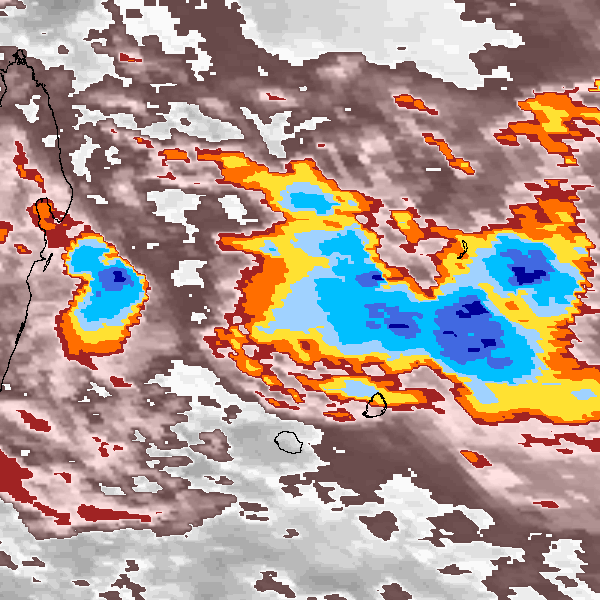
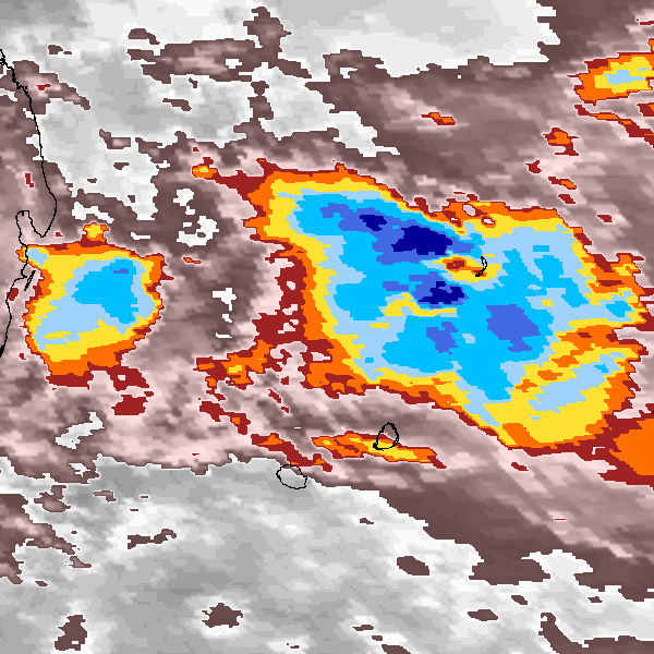
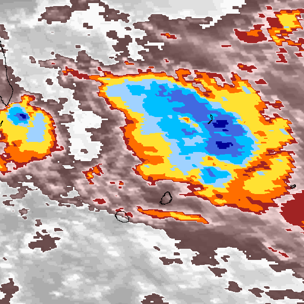
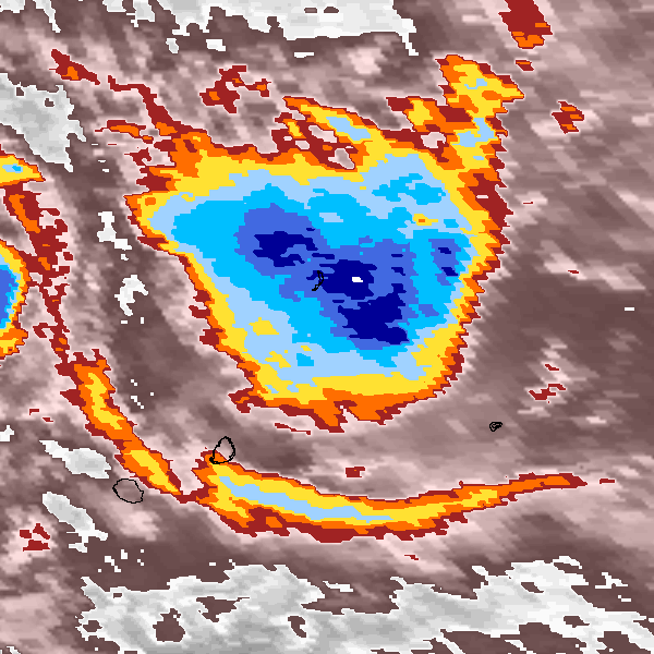
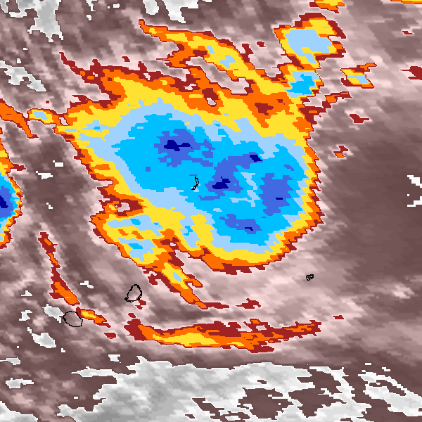
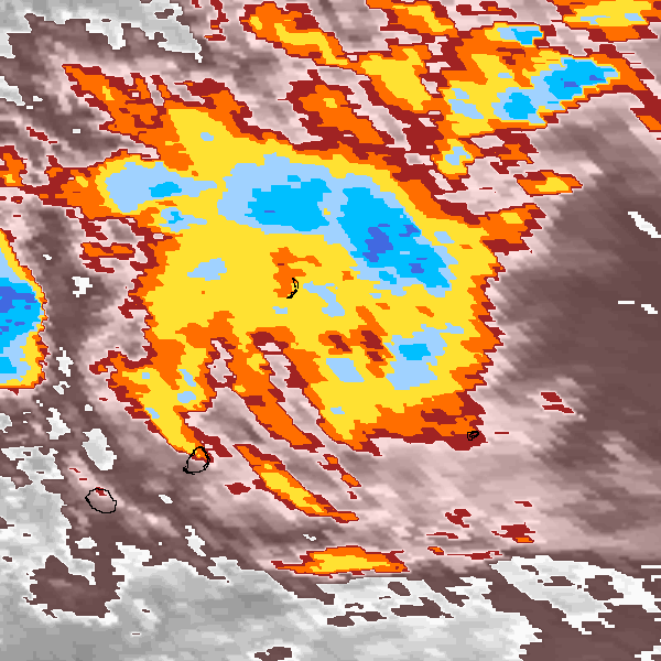
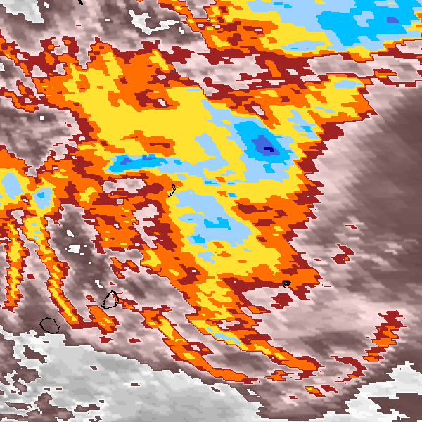
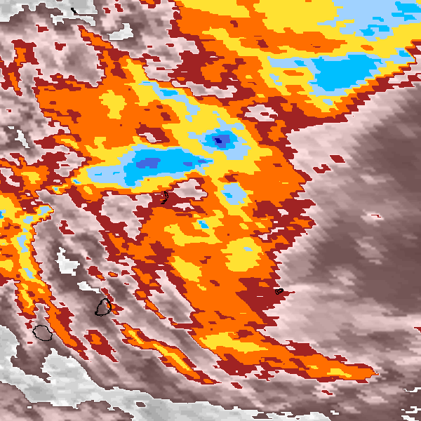
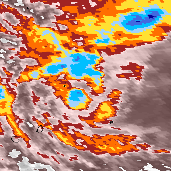
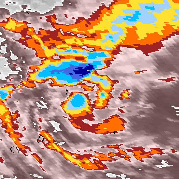
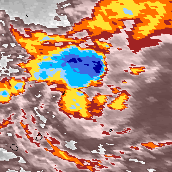
Storm track plot
|
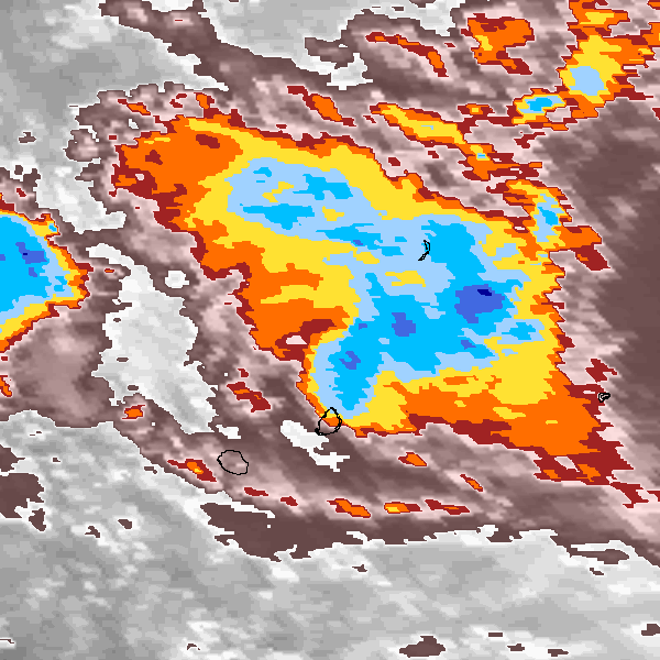
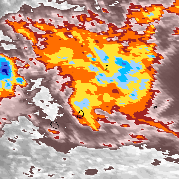
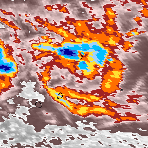
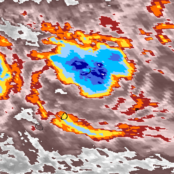
Intensity plots
|
Radial wind information
No radial wind information for this storm
|
Position and Intensity Table
Source Information
| Agency |
Information |
| USA |
|
| TOKYO |
|
| CMA |
|
| HKO |
|
| KMA |
|
| NEWDELHI |
|
| REUNION |
WMO-Best-Tracks.txt:Line=15703:gerda |
| BOM |
|
| NADI |
|
| WELLINGTON |
|
| DS824 |
|
| TD9636 |
|
| TD9635 |
|
| NEUMANN |
|
| MLC |
|
All available IBTrACS Data
| SEASON |
BASIN |
SUBBASIN |
ISO_TIME_________ |
NATURE |
LAT |
LON |
WMO WIND |
WMO PRES |
WMO AGENCY |
DIST2LAND |
LANDFALL |
IFLAG |
USA SSHS |
REUNION LAT |
REUNION LON |
REUNION TYPE |
REUNION WIND |
REUNION PRES |
REUNION TNUM |
REUNION CI |
STORM SPEED |
STORM DIR |
| Year |
|
|
|
|
degrees north |
degrees east |
kts |
mb |
|
km |
km |
|
1 |
degrees north |
degrees east |
|
kts |
mb |
1 |
1 |
kts |
degrees |
| 1992 |
SI |
MM |
1992-02-24 06:00:00 |
TS |
-17.40 |
52.90 |
20 |
1006 |
reunion |
327 |
327 |
______O________ |
-5 |
-17.40 |
52.90 |
2 |
20 |
1006 |
9.90 |
1.50 |
7 |
90 |
| 1992 |
SI |
MM |
09:00:00 |
TS |
-17.40 |
53.30 |
|
|
|
365 |
365 |
______P________ |
-5 |
-17.40 |
53.30 |
2 |
20 |
1006 |
|
|
8 |
90 |
| 1992 |
SI |
MM |
12:00:00 |
TS |
-17.40 |
53.70 |
20 |
1005 |
reunion |
404 |
404 |
______O________ |
-5 |
-17.40 |
53.70 |
2 |
20 |
1005 |
9.90 |
1.50 |
8 |
95 |
| 1992 |
SI |
MM |
15:00:00 |
TS |
-17.40 |
54.20 |
|
|
|
418 |
398 |
______P________ |
-5 |
-17.40 |
54.20 |
2 |
20 |
1005 |
|
|
9 |
95 |
| 1992 |
SI |
MM |
18:00:00 |
TS |
-17.50 |
54.60 |
20 |
1005 |
reunion |
398 |
381 |
______O________ |
-5 |
-17.50 |
54.60 |
2 |
20 |
1005 |
9.90 |
1.50 |
8 |
100 |
| 1992 |
SI |
MM |
21:00:00 |
TS |
-17.60 |
55.00 |
|
|
|
381 |
347 |
______P________ |
-5 |
-17.60 |
55.00 |
2 |
20 |
1005 |
|
|
8 |
105 |
| 1992 |
SI |
MM |
1992-02-25 00:00:00 |
TS |
-17.70 |
55.40 |
20 |
1005 |
reunion |
347 |
313 |
______O________ |
-5 |
-17.70 |
55.40 |
2 |
20 |
1005 |
9.90 |
1.50 |
8 |
105 |
| 1992 |
SI |
MM |
03:00:00 |
TS |
-17.80 |
55.80 |
|
|
|
313 |
276 |
______P________ |
-5 |
-17.80 |
55.80 |
2 |
20 |
1005 |
|
|
9 |
105 |
| 1992 |
SI |
MM |
06:00:00 |
TS |
-17.90 |
56.30 |
20 |
1005 |
reunion |
276 |
232 |
______O________ |
-5 |
-17.90 |
56.30 |
2 |
20 |
1005 |
9.90 |
1.50 |
11 |
110 |
| 1992 |
SI |
MM |
09:00:00 |
TS |
-18.10 |
56.90 |
|
|
|
232 |
201 |
______P________ |
-5 |
-18.10 |
56.90 |
2 |
20 |
1005 |
|
|
13 |
110 |
| 1992 |
SI |
MM |
12:00:00 |
TS |
-18.30 |
57.60 |
20 |
1005 |
reunion |
201 |
201 |
______O________ |
-5 |
-18.30 |
57.60 |
2 |
20 |
1005 |
9.90 |
1.50 |
13 |
100 |
| 1992 |
SI |
MM |
15:00:00 |
TS |
-18.30 |
58.30 |
|
|
|
210 |
210 |
______P________ |
-5 |
-18.30 |
58.30 |
2 |
20 |
1005 |
|
|
12 |
85 |
| 1992 |
SI |
MM |
18:00:00 |
TS |
-18.20 |
58.90 |
20 |
1005 |
reunion |
247 |
247 |
______O________ |
-5 |
-18.20 |
58.90 |
2 |
20 |
1005 |
9.90 |
1.50 |
12 |
70 |
| 1992 |
SI |
MM |
21:00:00 |
TS |
-17.90 |
59.40 |
|
|
|
304 |
304 |
______P________ |
-5 |
-17.90 |
59.40 |
2 |
20 |
1005 |
|
|
10 |
55 |
| 1992 |
SI |
MM |
1992-02-26 00:00:00 |
TS |
-17.60 |
59.80 |
20 |
1005 |
reunion |
356 |
356 |
______O________ |
-5 |
-17.60 |
59.80 |
2 |
20 |
1005 |
9.90 |
1.50 |
8 |
60 |
| 1992 |
SI |
MM |
03:00:00 |
TS |
-17.50 |
60.10 |
|
|
|
385 |
385 |
______P________ |
-5 |
-17.50 |
60.10 |
2 |
20 |
1005 |
|
|
6 |
80 |
| 1992 |
SI |
MM |
06:00:00 |
TS |
-17.50 |
60.40 |
20 |
1004 |
reunion |
406 |
406 |
______O________ |
-5 |
-17.50 |
60.40 |
2 |
20 |
1004 |
9.90 |
1.50 |
5 |
80 |
| 1992 |
SI |
MM |
09:00:00 |
TS |
-17.40 |
60.70 |
|
|
|
437 |
437 |
______P________ |
-5 |
-17.40 |
60.70 |
2 |
20 |
1004 |
|
|
5 |
65 |
| 1992 |
SI |
MM |
12:00:00 |
TS |
-17.30 |
60.90 |
20 |
1004 |
reunion |
460 |
460 |
______O________ |
-5 |
-17.30 |
60.90 |
2 |
20 |
1004 |
9.90 |
1.50 |
6 |
45 |
| 1992 |
SI |
MM |
15:00:00 |
TS |
-17.00 |
61.10 |
|
|
|
498 |
498 |
______P________ |
-5 |
-17.00 |
61.10 |
2 |
20 |
1004 |
|
|
7 |
30 |
| 1992 |
SI |
MM |
18:00:00 |
TS |
-16.70 |
61.30 |
20 |
1003 |
reunion |
537 |
537 |
______O________ |
-5 |
-16.70 |
61.30 |
2 |
20 |
1003 |
9.90 |
1.50 |
7 |
20 |
| 1992 |
SI |
MM |
21:00:00 |
TS |
-16.40 |
61.40 |
|
|
|
569 |
569 |
______P________ |
-5 |
-16.40 |
61.40 |
2 |
20 |
1003 |
|
|
6 |
10 |
| 1992 |
SI |
MM |
1992-02-27 00:00:00 |
TS |
-16.10 |
61.40 |
20 |
1003 |
reunion |
594 |
|
______O________ |
-5 |
-16.10 |
61.40 |
2 |
20 |
1003 |
9.90 |
1.50 |
6 |
0 |