1995
Tropical Storm UNNAMED (1995209N17122)
IBTrACS version v04r01. Visit
IBTrACS website for data access.
Please direct all questions to the
IBTrACS Q and A forum
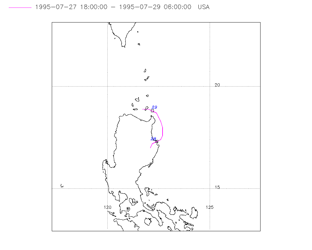
Storm track
-
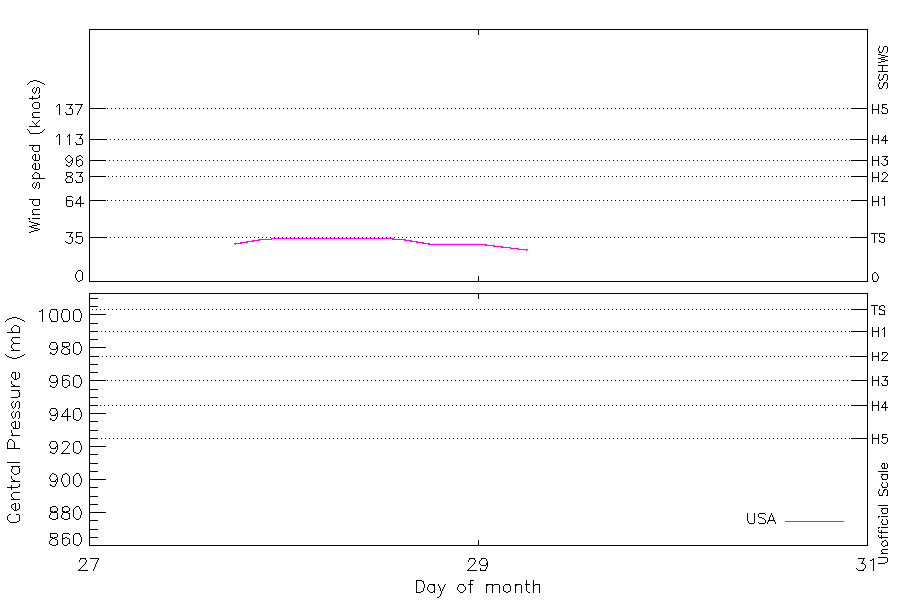
Intensity
-
Wind Radii
-
Intensity Data
-
Source Data
-
All data
Summary Information

|
| Storm ID |
1995209N17122 |
| Start |
Jul 27 18Z |
| Max Intensity |
35 kt (Jul 28 00Z) |
| End |
Jul 29 06Z |
| ATCF IDs |
WP061995 |
| Track status |
Best track data. |
|
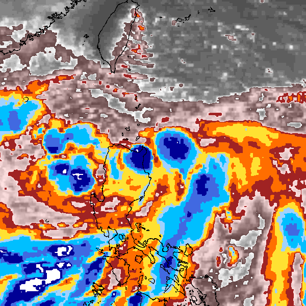
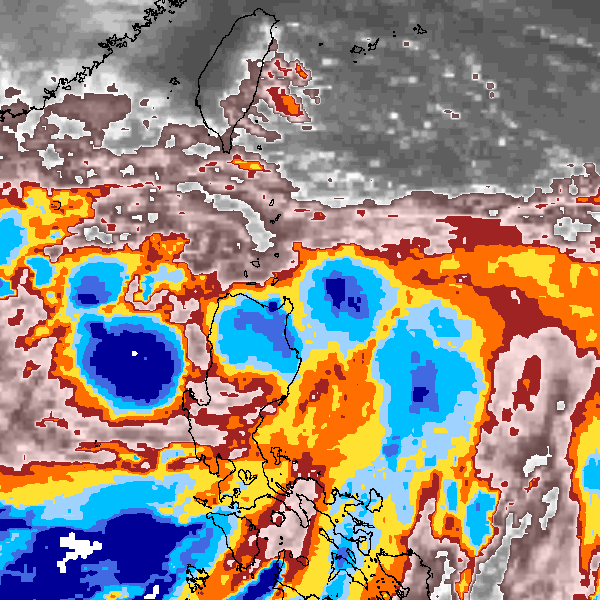
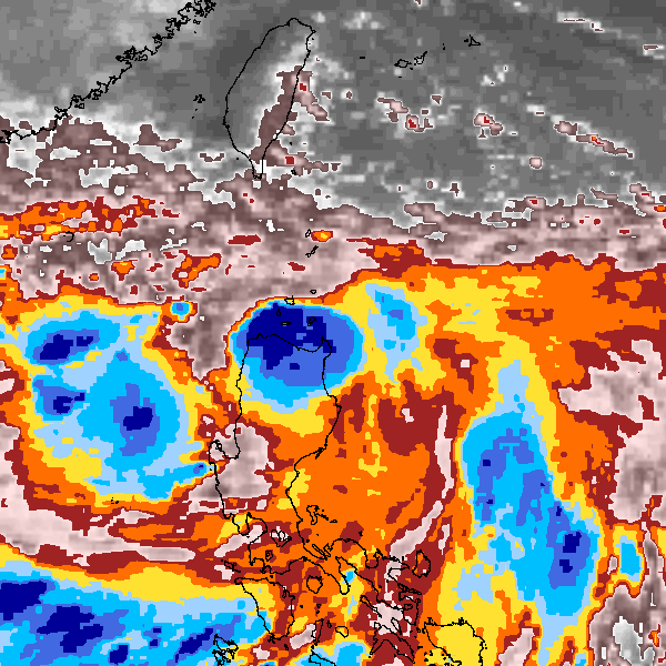
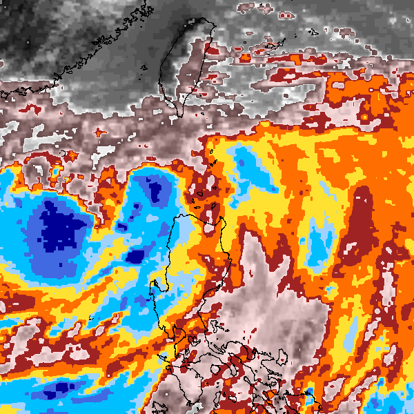
Storm track plot
|
Intensity plots
|
Radial wind information
No radial wind information for this storm
|
Position and Intensity Table
Source Information
| Agency |
Information |
| USA |
bwp061995.txt |
| TOKYO |
|
| CMA |
|
| HKO |
|
| KMA |
|
| NEWDELHI |
|
| REUNION |
|
| BOM |
|
| NADI |
|
| WELLINGTON |
|
| DS824 |
|
| TD9636 |
|
| TD9635 |
|
| NEUMANN |
|
| MLC |
|
All available IBTrACS Data
| SEASON |
BASIN |
SUBBASIN |
ISO_TIME_________ |
NATURE |
LAT |
LON |
DIST2LAND |
LANDFALL |
IFLAG |
USA AGENCY |
USA ATCF_ID |
USA LAT |
USA LON |
USA WIND |
USA SSHS |
STORM SPEED |
STORM DIR |
| Year |
|
|
|
|
degrees north |
degrees east |
km |
km |
|
|
|
degrees north |
degrees east |
kts |
1 |
kts |
degrees |
| 1995 |
WP |
MM |
1995-07-27 18:00:00 |
NR |
17.00 |
122.10 |
0 |
0 |
O______________ |
jtwc_wp |
WP061995 |
17.00 |
122.10 |
30 |
-1 |
4 |
45 |
| 1995 |
WP |
MM |
21:00:00 |
NR |
17.10 |
122.30 |
0 |
0 |
P______________ |
|
WP061995 |
17.20 |
122.20 |
33 |
-1 |
4 |
45 |
| 1995 |
WP |
MM |
1995-07-28 00:00:00 |
NR |
17.30 |
122.40 |
0 |
0 |
O______________ |
jtwc_wp |
WP061995 |
17.30 |
122.40 |
35 |
0 |
4 |
45 |
| 1995 |
WP |
MM |
03:00:00 |
NR |
17.40 |
122.60 |
24 |
24 |
P______________ |
|
WP061995 |
17.40 |
122.60 |
35 |
0 |
4 |
45 |
| 1995 |
WP |
MM |
06:00:00 |
NR |
17.60 |
122.70 |
46 |
46 |
O______________ |
jtwc_wp |
WP061995 |
17.60 |
122.70 |
35 |
0 |
4 |
25 |
| 1995 |
WP |
MM |
09:00:00 |
NR |
17.80 |
122.70 |
62 |
53 |
P______________ |
|
WP061995 |
17.80 |
122.70 |
35 |
0 |
4 |
0 |
| 1995 |
WP |
MM |
12:00:00 |
NR |
18.00 |
122.70 |
53 |
33 |
O______________ |
jtwc_wp |
WP061995 |
18.00 |
122.70 |
35 |
0 |
5 |
345 |
| 1995 |
WP |
MM |
15:00:00 |
NR |
18.30 |
122.60 |
31 |
21 |
P______________ |
|
WP061995 |
18.30 |
122.60 |
33 |
-1 |
5 |
340 |
| 1995 |
WP |
MM |
18:00:00 |
NR |
18.50 |
122.50 |
23 |
23 |
O______________ |
jtwc_wp |
WP061995 |
18.50 |
122.50 |
30 |
-1 |
5 |
330 |
| 1995 |
WP |
MM |
21:00:00 |
NR |
18.70 |
122.40 |
35 |
33 |
P______________ |
|
WP061995 |
18.70 |
122.40 |
30 |
-1 |
4 |
315 |
| 1995 |
WP |
MM |
1995-07-29 00:00:00 |
NR |
18.80 |
122.20 |
44 |
44 |
O______________ |
jtwc_wp |
WP061995 |
18.80 |
122.20 |
30 |
-1 |
4 |
295 |
| 1995 |
WP |
MM |
03:00:00 |
NR |
18.90 |
122.00 |
56 |
54 |
P______________ |
|
WP061995 |
18.90 |
122.00 |
28 |
-1 |
5 |
280 |
| 1995 |
WP |
MM |
06:00:00 |
NR |
18.90 |
121.70 |
54 |
|
O______________ |
jtwc_wp |
WP061995 |
18.90 |
121.70 |
25 |
-1 |
5 |
280 |