2003
Tropical Depression UNNAMED (2003231N20118)
IBTrACS version v04r01. Visit
IBTrACS website for data access.
Please direct all questions to the
IBTrACS Q and A forum
Storm track
-
Intensity
-
Wind Radii
-
Intensity Data
-
Source Data
-
All data
Summary Information
|
|
| Storm ID |
2003231N20118 |
| Start |
Aug 19 06Z |
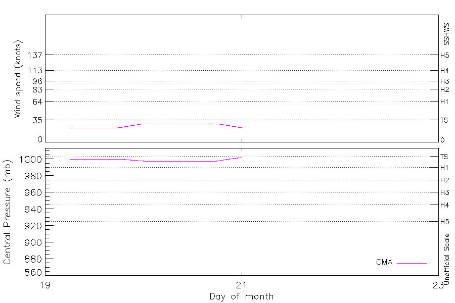
| Max Intensity |
29 kt (Aug 20 00Z), 998 mb (Aug 20 00Z) |
| End |
Aug 21 00Z |
| ATCF IDs |
|
| Track status |
Best track data. |
|
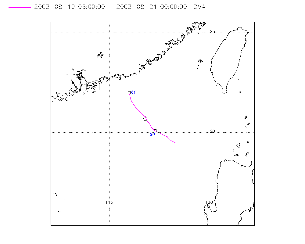
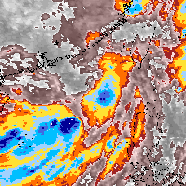
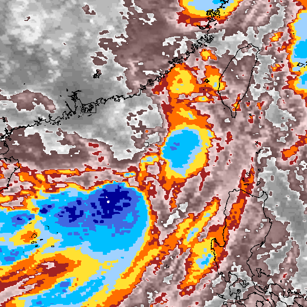
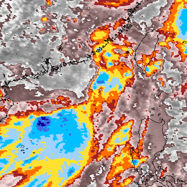
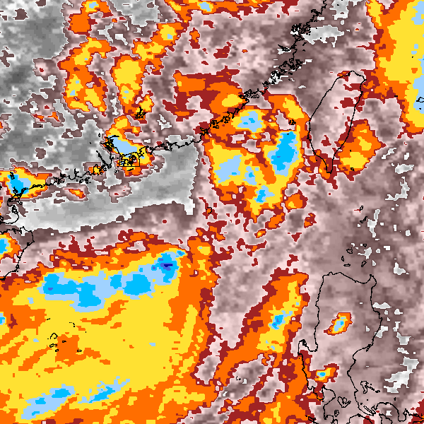
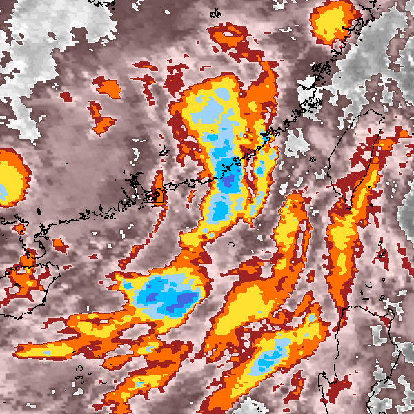
Storm track plot
|
Intensity plots
|
Radial wind information
No radial wind information for this storm
|
Position and Intensity Table
Source Information
| Agency |
Information |
| USA |
|
| TOKYO |
|
| CMA |
CH2003BST.txt:Storm=14:(nameless) |
| HKO |
|
| KMA |
|
| NEWDELHI |
|
| REUNION |
|
| BOM |
|
| NADI |
|
| WELLINGTON |
|
| DS824 |
|
| TD9636 |
|
| TD9635 |
|
| NEUMANN |
|
| MLC |
|
All available IBTrACS Data
| SEASON |
BASIN |
SUBBASIN |
ISO_TIME_________ |
NATURE |
LAT |
LON |
DIST2LAND |
LANDFALL |
IFLAG |
USA SSHS |
CMA LAT |
CMA LON |
CMA CAT |
CMA WIND |
CMA PRES |
STORM SPEED |
STORM DIR |
| Year |
|
|
|
|
degrees north |
degrees east |
km |
km |
|
1 |
degrees north |
degrees east |
1 |
kts |
mb |
kts |
degrees |
| 2003 |
WP |
MM |
2003-08-19 06:00:00 |
TS |
19.50 |
118.30 |
271 |
271 |
__O____________ |
-5 |
19.50 |
118.30 |
1 |
23 |
1000 |
4 |
305 |
| 2003 |
WP |
MM |
09:00:00 |
TS |
19.60 |
118.10 |
295 |
295 |
__P____________ |
-5 |
19.60 |
118.10 |
1 |
23 |
1000 |
3 |
305 |
| 2003 |
WP |
MM |
12:00:00 |
TS |
19.70 |
118.00 |
309 |
309 |
__O____________ |
-5 |
19.70 |
118.00 |
1 |
23 |
1000 |
3 |
305 |
| 2003 |
WP |
MM |
15:00:00 |
TS |
19.80 |
117.90 |
324 |
324 |
__P____________ |
-5 |
19.80 |
117.90 |
1 |
23 |
1000 |
3 |
305 |
| 2003 |
WP |
MM |
18:00:00 |
TS |
19.90 |
117.70 |
347 |
340 |
__O____________ |
-5 |
19.90 |
117.70 |
1 |
23 |
1000 |
4 |
300 |
| 2003 |
WP |
MM |
21:00:00 |
TS |
20.00 |
117.50 |
340 |
323 |
__P____________ |
-5 |
20.00 |
117.50 |
1 |
26 |
999 |
4 |
300 |
| 2003 |
WP |
MM |
2003-08-20 00:00:00 |
TS |
20.10 |
117.30 |
323 |
297 |
__O____________ |
-5 |
20.10 |
117.30 |
1 |
29 |
998 |
5 |
310 |
| 2003 |
WP |
MM |
03:00:00 |
TS |
20.30 |
117.10 |
297 |
273 |
__P____________ |
-5 |
20.30 |
117.10 |
1 |
29 |
998 |
5 |
325 |
| 2003 |
WP |
MM |
06:00:00 |
TS |
20.50 |
117.00 |
273 |
259 |
__O____________ |
-5 |
20.50 |
117.00 |
1 |
29 |
998 |
4 |
330 |
| 2003 |
WP |
MM |
09:00:00 |
TS |
20.60 |
116.90 |
259 |
234 |
__P____________ |
-5 |
20.60 |
116.90 |
1 |
29 |
998 |
4 |
330 |
| 2003 |
WP |
MM |
12:00:00 |
TS |
20.80 |
116.80 |
234 |
207 |
__O____________ |
-5 |
20.80 |
116.80 |
1 |
29 |
998 |
5 |
320 |
| 2003 |
WP |
MM |
15:00:00 |
TS |
21.00 |
116.60 |
207 |
164 |
__P____________ |
-5 |
21.00 |
116.60 |
1 |
29 |
998 |
7 |
315 |
| 2003 |
WP |
MM |
18:00:00 |
TS |
21.30 |
116.30 |
164 |
126 |
__O____________ |
-5 |
21.30 |
116.30 |
1 |
29 |
998 |
7 |
325 |
| 2003 |
WP |
MM |
21:00:00 |
TS |
21.60 |
116.10 |
126 |
80 |
__P____________ |
-5 |
21.60 |
116.10 |
1 |
26 |
1000 |
8 |
340 |
| 2003 |
WP |
MM |
2003-08-21 00:00:00 |
TS |
22.00 |
116.00 |
80 |
|
__O____________ |
-5 |
22.00 |
116.00 |
1 |
23 |
1002 |
8 |
345 |