2008
Severe Tropical Storm PHANFONE (2008223N27151)
IBTrACS version v04r01. Visit
IBTrACS website for data access.
Please direct all questions to the
IBTrACS Q and A forum
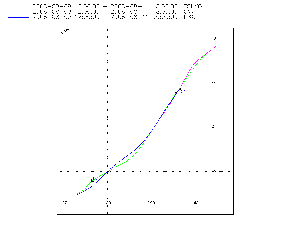
Storm track
-
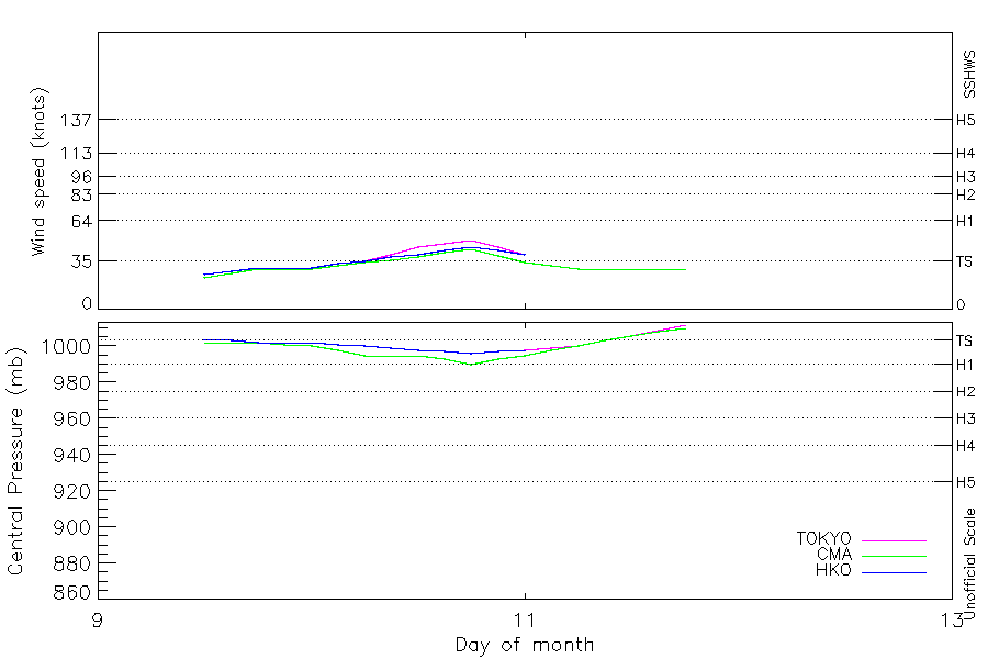
Intensity
-
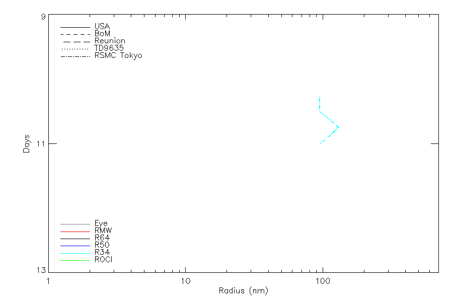
Wind Radii
-
Intensity Data
-
Source Data
-
All data
Summary Information
|
| Storm ID |
2008223N27151 |
| Start |
Aug 9 12Z |
| Max Intensity |
50 kt (Aug 10 18Z), 990 mb (Aug 10 18Z) |
| End |
Aug 11 18Z |
| ATCF IDs |
|
| Track status |
Best track data. |
|
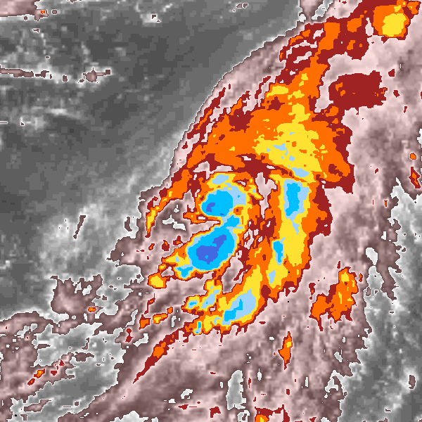
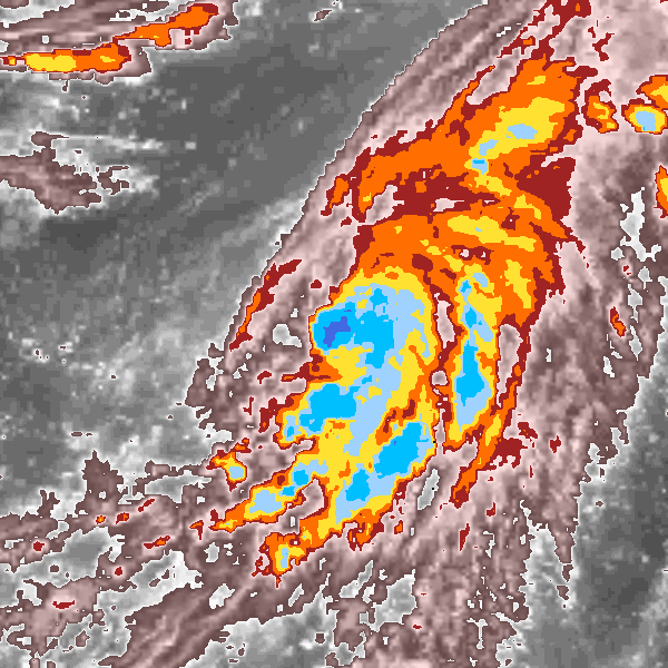
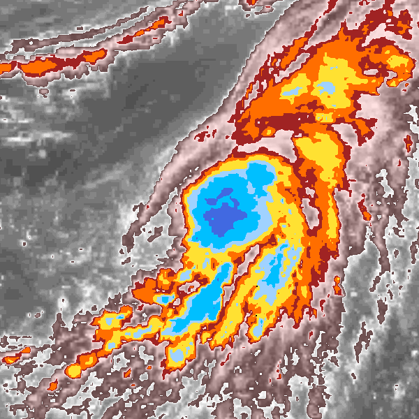
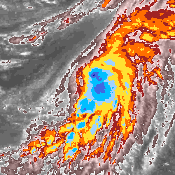
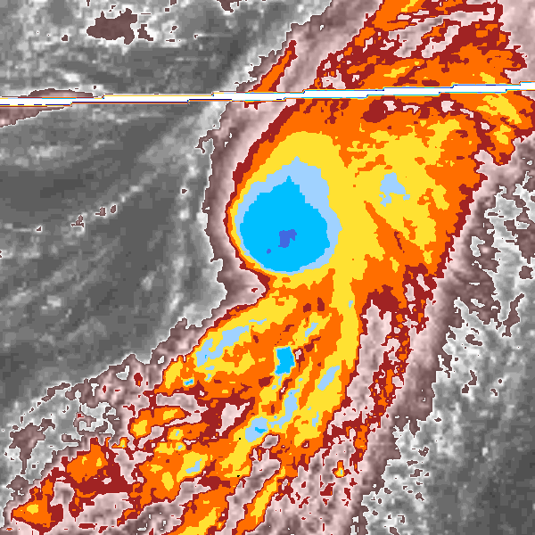
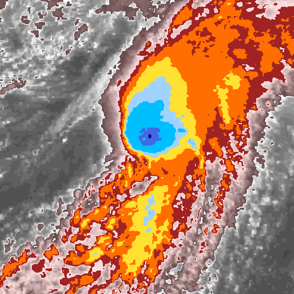
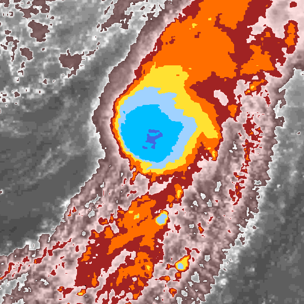
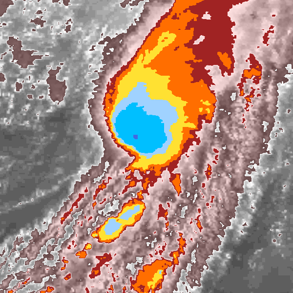
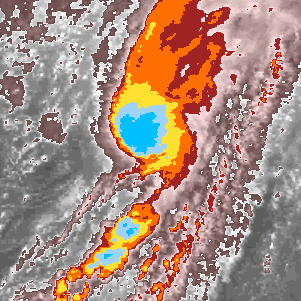
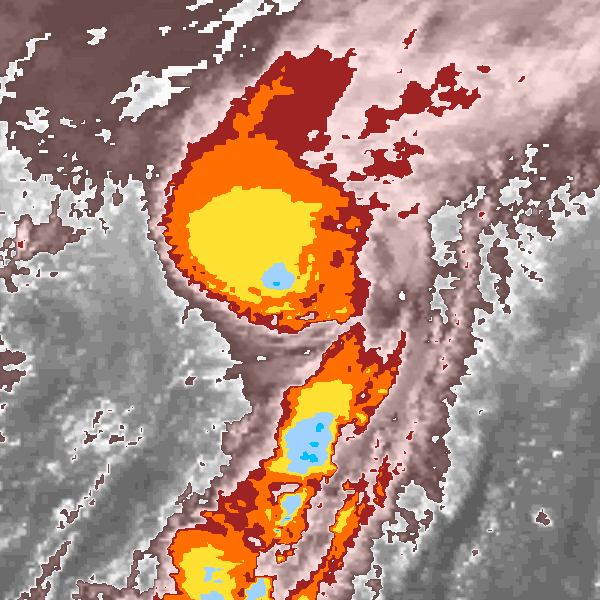
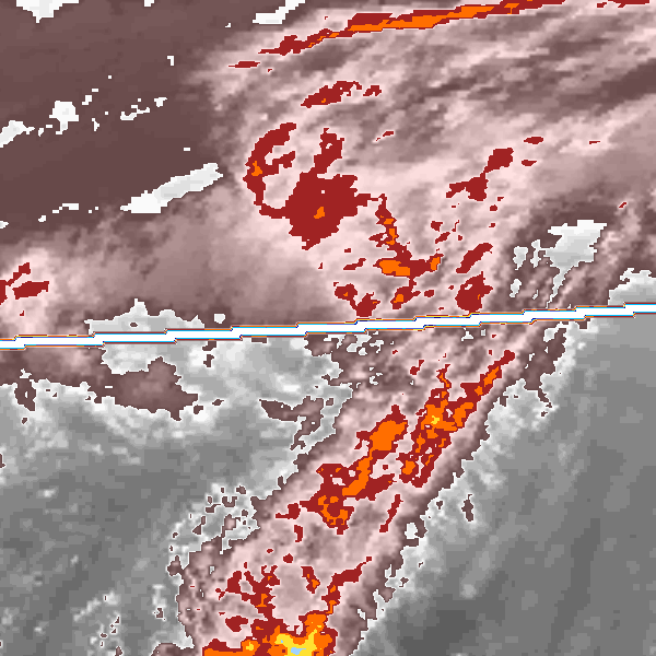
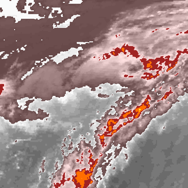
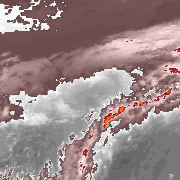
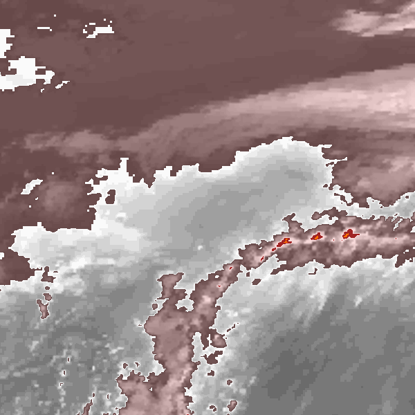
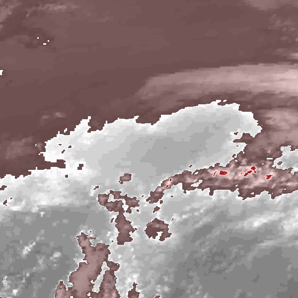
Storm track plot
|
Intensity plots
|
Radial wind information
|
Position and Intensity Table
| BASIN |
ISO_TIME_________ |
NATURE |
LAT |
LON |
WMO WIND |
WMO PRES |
TOKYO WIND |
TOKYO PRES |
CMA WIND |
CMA PRES |
HKO WIND |
HKO PRES |
| |
|
|
degrees north |
degrees east |
kts |
mb |
kts |
mb |
kts |
mb |
kts |
mb |
| WP |
2008-08-09 12:00:00 |
TS |
27.30 |
151.40 |
|
1002 |
|
1002 |
23 |
1002 |
25 |
1004 |
| WP |
15:00:00 |
TS |
27.60 |
151.90 |
|
|
|
1002 |
26 |
1002 |
28 |
1003 |
| WP |
18:00:00 |
TS |
27.90 |
152.40 |
|
1002 |
|
1002 |
29 |
1002 |
30 |
1002 |
| WP |
21:00:00 |
TS |
28.30 |
153.00 |
|
|
|
1002 |
29 |
1001 |
30 |
1002 |
| WP |
2008-08-10 00:00:00 |
TS |
28.90 |
153.70 |
|
1002 |
|
1002 |
29 |
1000 |
30 |
1002 |
| WP |
03:00:00 |
TS |
29.80 |
154.70 |
|
|
|
1001 |
32 |
998 |
33 |
1001 |
| WP |
06:00:00 |
TS |
30.70 |
155.90 |
35 |
1000 |
35 |
1000 |
34 |
995 |
35 |
1000 |
| WP |
09:00:00 |
TS |
31.40 |
157.10 |
|
|
40 |
999 |
36 |
995 |
38 |
999 |
| WP |
12:00:00 |
TS |
32.30 |
158.20 |
45 |
998 |
45 |
998 |
38 |
995 |
40 |
998 |
| WP |
15:00:00 |
TS |
33.50 |
159.20 |
|
|
48 |
997 |
41 |
993 |
43 |
997 |
| WP |
18:00:00 |
TS |
35.00 |
160.30 |
50 |
996 |
50 |
996 |
44 |
990 |
45 |
996 |
| WP |
21:00:00 |
TS |
37.10 |
161.70 |
|
|
45 |
997 |
39 |
993 |
43 |
997 |
| WP |
2008-08-11 00:00:00 |
TS |
39.20 |
163.00 |
40 |
998 |
40 |
998 |
34 |
995 |
40 |
998 |
| WP |
03:00:00 |
TS |
40.60 |
163.90 |
|
|
|
999 |
32 |
998 |
|
|
| WP |
06:00:00 |
ET |
41.50 |
164.50 |
|
1000 |
|
1000 |
29 |
1000 |
|
|
| WP |
09:00:00 |
ET |
42.10 |
164.90 |
|
|
|
1003 |
29 |
1003 |
|
|
| WP |
12:00:00 |
ET |
42.60 |
165.30 |
|
1006 |
|
1006 |
29 |
1006 |
|
|
| WP |
15:00:00 |
ET |
43.30 |
166.10 |
|
|
|
1009 |
29 |
1008 |
|
|
| WP |
18:00:00 |
ET |
44.20 |
167.20 |
|
1012 |
|
1012 |
29 |
1010 |
|
|
Source Information
| Agency |
Information |
| USA |
|
| TOKYO |
bst_all.txt:Line=57423:PHANFONE:810 |
| CMA |
CH2008BST.txt:Storm=11:Phanfone |
| HKO |
tc-besttrack-data-current.txt:Line=33192:PHANFONE |
| KMA |
|
| NEWDELHI |
|
| REUNION |
|
| BOM |
|
| NADI |
|
| WELLINGTON |
|
| DS824 |
|
| TD9636 |
|
| TD9635 |
|
| NEUMANN |
|
| MLC |
|
All available IBTrACS Data
| SEASON |
BASIN |
SUBBASIN |
ISO_TIME_________ |
NATURE |
LAT |
LON |
WMO WIND |
WMO PRES |
WMO AGENCY |
DIST2LAND |
LANDFALL |
IFLAG |
USA SSHS |
TOKYO LAT |
TOKYO LON |
TOKYO GRADE |
TOKYO WIND |
TOKYO PRES |
TOKYO R50_DIR |
TOKYO R30_DIR |
TOKYO R30_LONG |
TOKYO R30_SHORT |
TOKYO LAND |
CMA LAT |
CMA LON |
CMA CAT |
CMA WIND |
CMA PRES |
HKO LAT |
HKO LON |
HKO CAT |
HKO WIND |
HKO PRES |
STORM SPEED |
STORM DIR |
| Year |
|
|
|
|
degrees north |
degrees east |
kts |
mb |
|
km |
km |
|
1 |
degrees north |
degrees east |
1 |
kts |
mb |
|
|
nmile |
nmile |
1 |
degrees north |
degrees east |
1 |
kts |
mb |
degrees north |
degrees east |
|
kts |
mb |
kts |
degrees |
| 2008 |
WP |
MM |
2008-08-09 12:00:00 |
TS |
27.30 |
151.40 |
|
1002 |
tokyo |
1364 |
1363 |
_OOO___________ |
-5 |
27.30 |
151.40 |
2 |
|
1002 |
0 |
0 |
|
|
0 |
27.40 |
151.40 |
1 |
23 |
1002 |
27.30 |
151.40 |
TD |
25 |
1004 |
10 |
60 |
| 2008 |
WP |
MM |
15:00:00 |
TS |
27.60 |
151.90 |
|
|
|
1375 |
1375 |
_PPP___________ |
-5 |
27.50 |
151.90 |
2 |
|
1002 |
0 |
0 |
|
|
|
27.70 |
152.00 |
1 |
26 |
1002 |
27.50 |
151.90 |
TD |
28 |
1003 |
10 |
60 |
| 2008 |
WP |
MM |
18:00:00 |
TS |
27.90 |
152.40 |
|
1002 |
tokyo |
1388 |
1388 |
_OOO___________ |
-5 |
27.80 |
152.40 |
2 |
|
1002 |
0 |
0 |
|
|
0 |
28.00 |
152.40 |
1 |
29 |
1002 |
27.80 |
152.40 |
TD |
30 |
1002 |
12 |
50 |
| 2008 |
WP |
MM |
21:00:00 |
TS |
28.30 |
153.00 |
|
|
|
1404 |
1397 |
_PPP___________ |
-5 |
28.20 |
153.10 |
2 |
|
1002 |
0 |
0 |
|
|
|
28.40 |
152.70 |
1 |
29 |
1001 |
28.20 |
153.10 |
TD |
30 |
1002 |
16 |
45 |
| 2008 |
WP |
MM |
2008-08-10 00:00:00 |
TS |
28.90 |
153.70 |
|
1002 |
tokyo |
1418 |
1411 |
_OOO___________ |
-5 |
28.90 |
153.90 |
2 |
|
1002 |
0 |
0 |
|
|
0 |
29.00 |
153.30 |
1 |
29 |
1000 |
28.90 |
153.90 |
TD |
30 |
1002 |
21 |
45 |
| 2008 |
WP |
MM |
03:00:00 |
TS |
29.80 |
154.70 |
|
|
|
1444 |
1444 |
_PPP___________ |
-5 |
29.80 |
154.80 |
2 |
|
1001 |
0 |
0 |
|
|
|
29.70 |
154.50 |
1 |
32 |
998 |
29.80 |
154.80 |
TD |
33 |
1001 |
26 |
45 |
| 2008 |
WP |
MM |
06:00:00 |
TS |
30.70 |
155.90 |
35 |
1000 |
tokyo |
1498 |
1498 |
_OOO___________ |
-5 |
30.80 |
155.90 |
3 |
35 |
1000 |
0 |
3 |
130 |
60 |
0 |
30.50 |
155.90 |
2 |
34 |
995 |
30.80 |
155.90 |
TS |
35 |
1000 |
26 |
50 |
| 2008 |
WP |
MM |
09:00:00 |
TS |
31.40 |
157.10 |
|
|
|
1570 |
1566 |
_PPP___________ |
-5 |
31.60 |
157.00 |
3 |
40 |
999 |
0 |
3 |
130 |
60 |
|
31.10 |
157.10 |
2 |
36 |
995 |
31.60 |
157.00 |
TS |
38 |
999 |
26 |
50 |
| 2008 |
WP |
MM |
12:00:00 |
TS |
32.30 |
158.20 |
45 |
998 |
tokyo |
1633 |
1579 |
_OOO___________ |
-5 |
32.50 |
158.20 |
3 |
45 |
998 |
0 |
3 |
130 |
60 |
0 |
32.00 |
158.20 |
2 |
38 |
995 |
32.50 |
158.20 |
TS |
40 |
998 |
27 |
40 |
| 2008 |
WP |
MM |
15:00:00 |
TS |
33.50 |
159.20 |
|
|
|
1570 |
1482 |
_PPP___________ |
-5 |
33.50 |
159.20 |
3 |
48 |
997 |
0 |
3 |
145 |
80 |
|
33.30 |
159.20 |
2 |
41 |
993 |
33.50 |
159.20 |
TS |
43 |
997 |
32 |
35 |
| 2008 |
WP |
MM |
18:00:00 |
TS |
35.00 |
160.30 |
50 |
996 |
tokyo |
1478 |
1369 |
_OOO___________ |
-5 |
35.00 |
160.30 |
4 |
50 |
996 |
0 |
3 |
160 |
100 |
0 |
35.00 |
160.30 |
2 |
44 |
990 |
35.00 |
160.30 |
TS |
45 |
996 |
41 |
30 |
| 2008 |
WP |
MM |
21:00:00 |
TS |
37.10 |
161.70 |
|
|
|
1366 |
1286 |
_PPP___________ |
-5 |
37.20 |
161.80 |
4 |
45 |
997 |
0 |
3 |
140 |
85 |
|
37.00 |
161.60 |
2 |
39 |
993 |
37.00 |
161.60 |
TS |
43 |
997 |
47 |
25 |
| 2008 |
WP |
MM |
2008-08-11 00:00:00 |
TS |
39.20 |
163.00 |
40 |
998 |
tokyo |
1279 |
1243 |
_OOO___________ |
-5 |
39.40 |
163.20 |
3 |
40 |
998 |
0 |
4 |
120 |
70 |
0 |
38.90 |
162.80 |
2 |
34 |
995 |
39.40 |
163.20 |
TS |
40 |
998 |
39 |
25 |
| 2008 |
WP |
MM |
03:00:00 |
TS |
40.60 |
163.90 |
|
|
|
1233 |
1170 |
_PP____________ |
-5 |
40.80 |
164.00 |
3 |
|
999 |
0 |
4 |
|
|
|
40.30 |
163.80 |
2 |
32 |
998 |
|
|
|
|
|
26 |
25 |
| 2008 |
WP |
MM |
06:00:00 |
ET |
41.50 |
164.50 |
|
1000 |
tokyo |
1170 |
1132 |
_OO____________ |
-5 |
41.70 |
164.50 |
6 |
|
1000 |
0 |
0 |
|
|
0 |
41.30 |
164.50 |
9 |
29 |
1000 |
|
|
|
|
|
17 |
25 |
| 2008 |
WP |
MM |
09:00:00 |
ET |
42.10 |
164.90 |
|
|
|
1132 |
1106 |
_PP____________ |
-5 |
42.20 |
164.80 |
6 |
|
1003 |
0 |
0 |
|
|
|
42.00 |
165.00 |
9 |
29 |
1003 |
|
|
|
|
|
13 |
30 |
| 2008 |
WP |
MM |
12:00:00 |
ET |
42.60 |
165.30 |
|
1006 |
tokyo |
1106 |
1087 |
_OO____________ |
-5 |
42.60 |
165.20 |
6 |
|
1006 |
0 |
0 |
|
|
0 |
42.60 |
165.50 |
9 |
29 |
1006 |
|
|
|
|
|
15 |
35 |
| 2008 |
WP |
MM |
15:00:00 |
ET |
43.30 |
166.10 |
|
|
|
1087 |
1075 |
_PP____________ |
-5 |
43.30 |
166.10 |
6 |
|
1009 |
0 |
0 |
|
|
|
43.30 |
166.20 |
9 |
29 |
1008 |
|
|
|
|
|
21 |
40 |
| 2008 |
WP |
MM |
18:00:00 |
ET |
44.20 |
167.20 |
|
1012 |
tokyo |
1071 |
|
_OO____________ |
-5 |
44.30 |
167.40 |
6 |
|
1012 |
0 |
0 |
|
|
0 |
44.10 |
167.00 |
9 |
29 |
1010 |
|
|
|
|
|
23 |
40 |