2009
Tropical Depression UNNAMED (2009291N16111)
IBTrACS version v04r01. Visit
IBTrACS website for data access.
Please direct all questions to the
IBTrACS Q and A forum
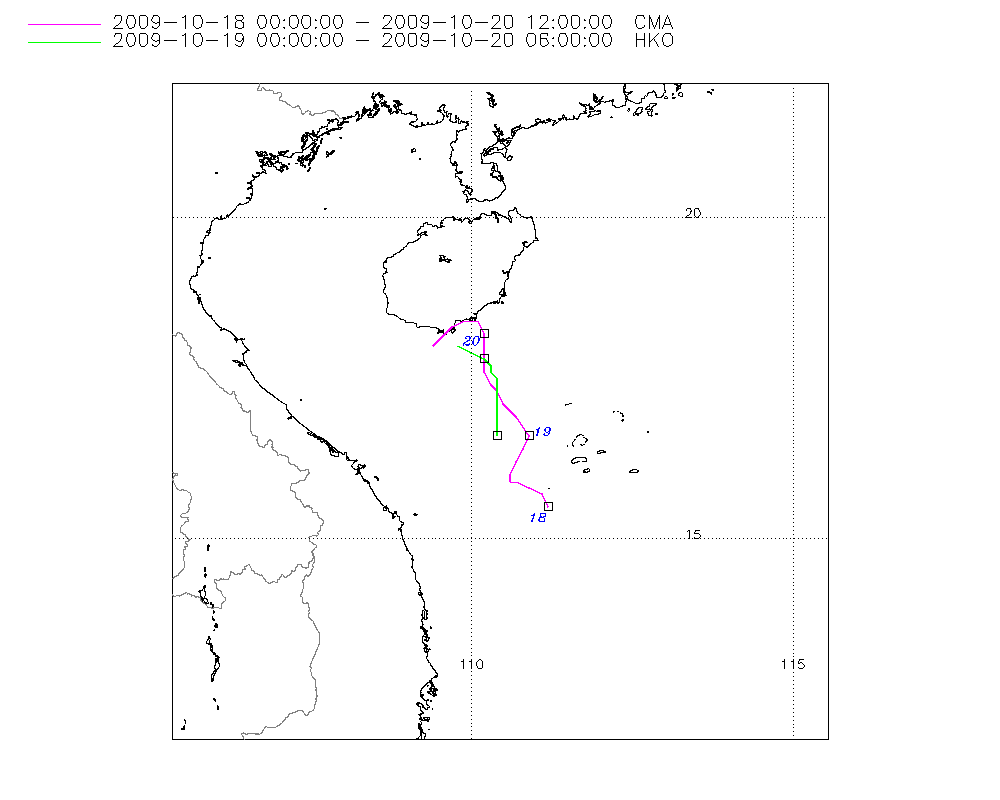
Storm track
-
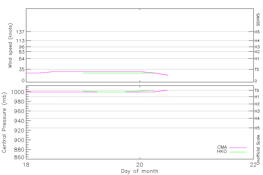
Intensity
-
Wind Radii
-
Intensity Data
-
Source Data
-
All data
Summary Information
|
|
| Storm ID |
2009291N16111 |
| Start |
Oct 18 00Z |
| Landfall |
Oct 20 09Z |
| Max Intensity |
29 kt (Oct 18 12Z) |
| End |
Oct 20 12Z |
| ATCF IDs |
|
| Track status |
Best track data. |
|
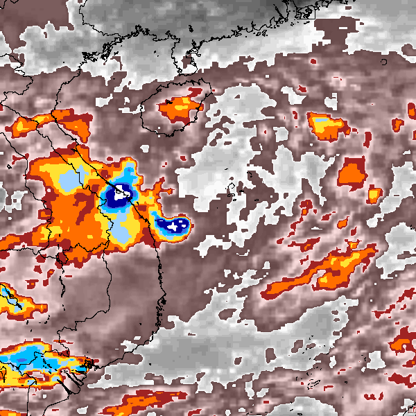
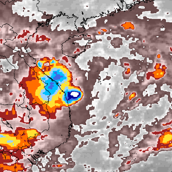
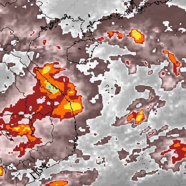
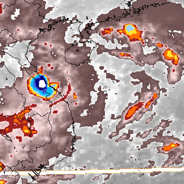
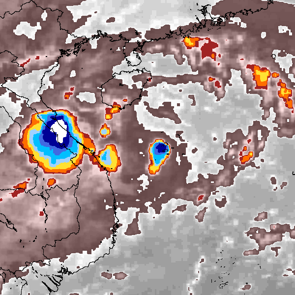
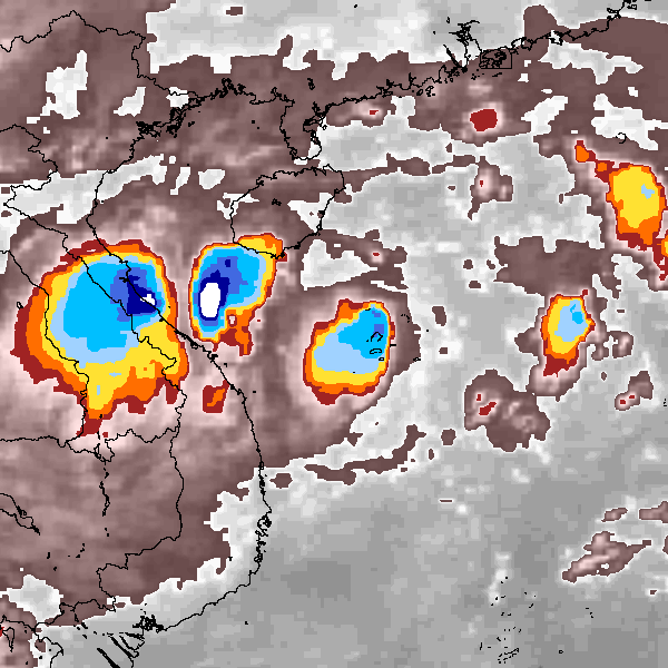
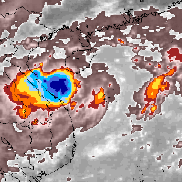
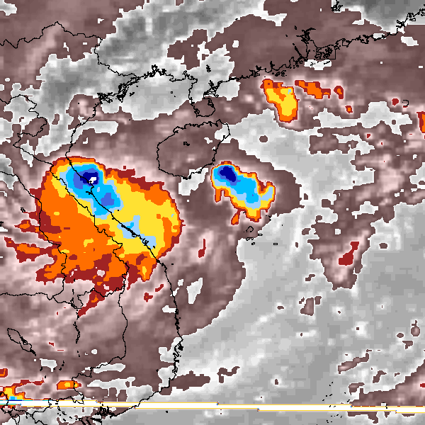
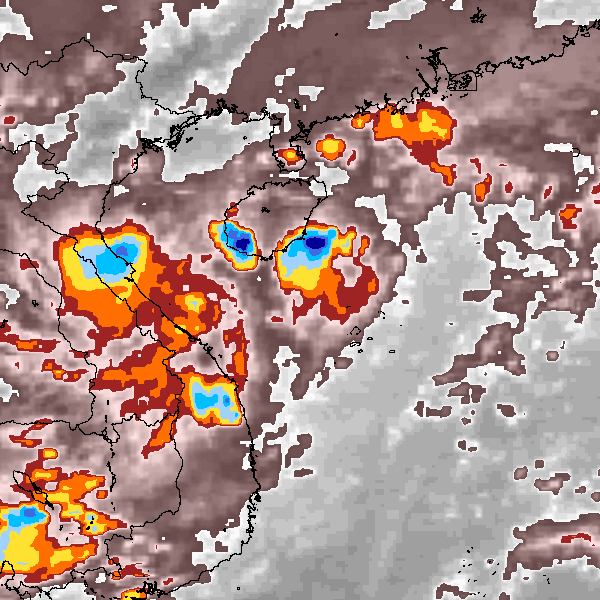
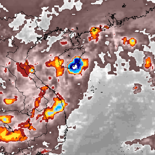
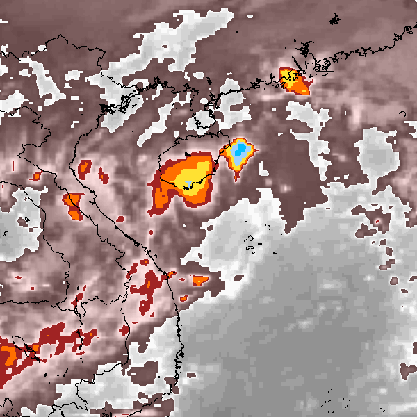
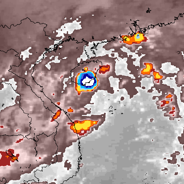
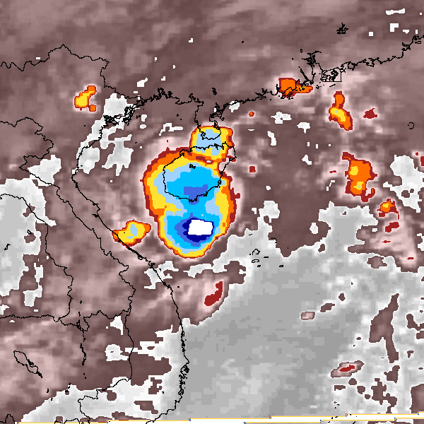
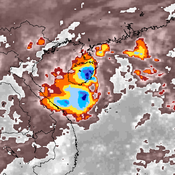
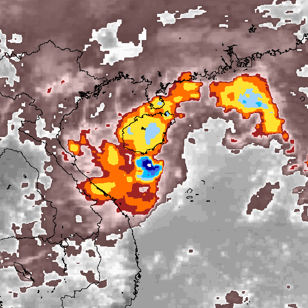
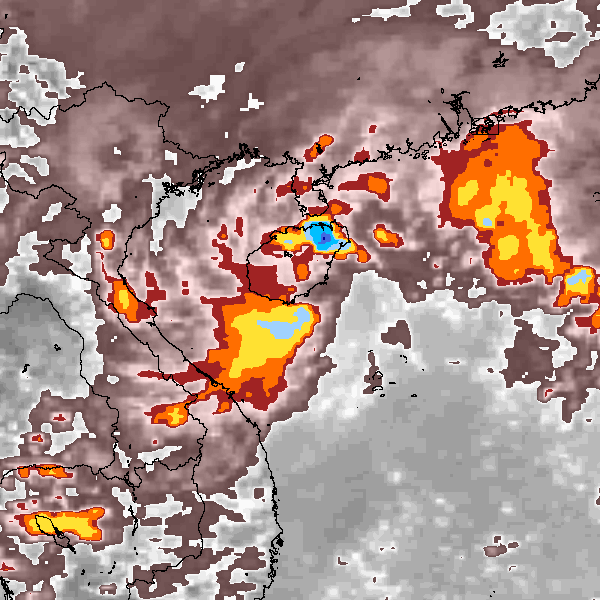
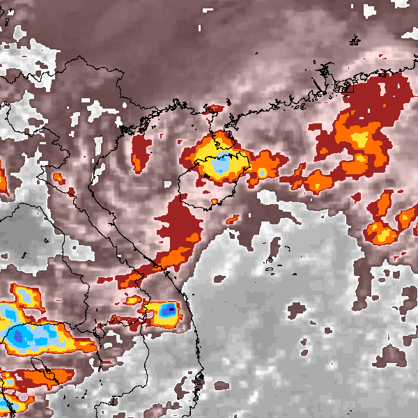
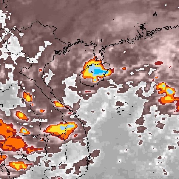
Storm track plot
|
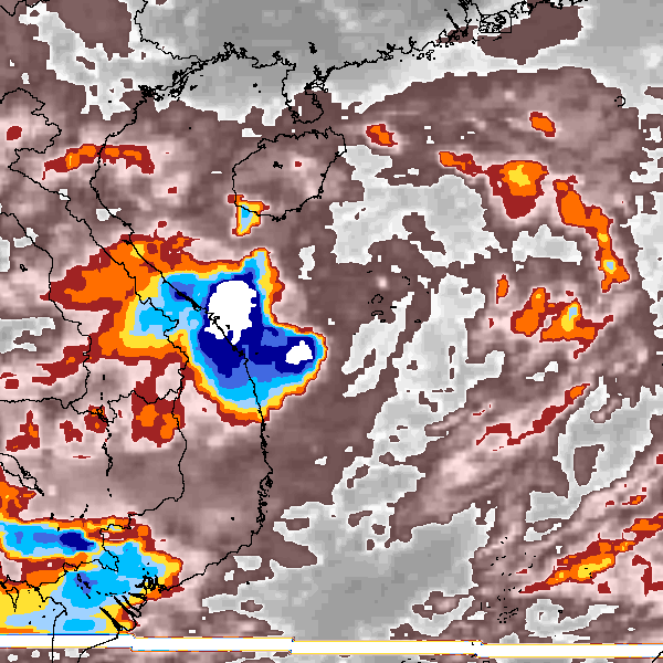
Intensity plots
|
Radial wind information
No radial wind information for this storm
|
Position and Intensity Table
Source Information
| Agency |
Information |
| USA |
|
| TOKYO |
|
| CMA |
CH2009BST.txt:Storm=23:(nameless) |
| HKO |
tc-besttrack-data-current.txt:Line=34037:TD1019 |
| KMA |
|
| NEWDELHI |
|
| REUNION |
|
| BOM |
|
| NADI |
|
| WELLINGTON |
|
| DS824 |
|
| TD9636 |
|
| TD9635 |
|
| NEUMANN |
|
| MLC |
|
All available IBTrACS Data
| SEASON |
BASIN |
SUBBASIN |
ISO_TIME_________ |
NATURE |
LAT |
LON |
DIST2LAND |
LANDFALL |
IFLAG |
USA SSHS |
CMA LAT |
CMA LON |
CMA CAT |
CMA WIND |
CMA PRES |
HKO LAT |
HKO LON |
HKO CAT |
HKO WIND |
HKO PRES |
STORM SPEED |
STORM DIR |
| Year |
|
|
|
|
degrees north |
degrees east |
km |
km |
|
1 |
degrees north |
degrees east |
1 |
kts |
mb |
degrees north |
degrees east |
|
kts |
mb |
kts |
degrees |
| 2009 |
WP |
MM |
2009-10-18 00:00:00 |
TS |
15.50 |
111.20 |
242 |
237 |
__O____________ |
-5 |
15.50 |
111.20 |
1 |
25 |
1000 |
|
|
|
|
|
4 |
320 |
| 2009 |
WP |
MM |
03:00:00 |
TS |
15.70 |
111.10 |
242 |
224 |
__P____________ |
-5 |
15.70 |
111.10 |
1 |
25 |
1000 |
|
|
|
|
|
4 |
315 |
| 2009 |
WP |
MM |
06:00:00 |
TS |
15.80 |
110.90 |
224 |
204 |
__O____________ |
-5 |
15.80 |
110.90 |
1 |
25 |
1000 |
|
|
|
|
|
4 |
300 |
| 2009 |
WP |
MM |
09:00:00 |
TS |
15.90 |
110.70 |
208 |
198 |
__P____________ |
-5 |
15.90 |
110.70 |
1 |
27 |
1000 |
|
|
|
|
|
3 |
290 |
| 2009 |
WP |
MM |
12:00:00 |
TS |
15.90 |
110.60 |
198 |
198 |
__O____________ |
-5 |
15.90 |
110.60 |
1 |
29 |
1000 |
|
|
|
|
|
2 |
330 |
| 2009 |
WP |
MM |
15:00:00 |
TS |
16.00 |
110.60 |
202 |
202 |
__P____________ |
-5 |
16.00 |
110.60 |
1 |
29 |
1000 |
|
|
|
|
|
3 |
15 |
| 2009 |
WP |
MM |
18:00:00 |
TS |
16.20 |
110.70 |
222 |
222 |
__O____________ |
-5 |
16.20 |
110.70 |
1 |
29 |
1000 |
|
|
|
|
|
4 |
30 |
| 2009 |
WP |
MM |
21:00:00 |
TS |
16.40 |
110.80 |
232 |
213 |
__P____________ |
-5 |
16.40 |
110.80 |
1 |
29 |
1000 |
|
|
|
|
|
4 |
15 |
| 2009 |
WP |
MM |
2009-10-19 00:00:00 |
TS |
16.60 |
110.80 |
213 |
183 |
__OO___________ |
-5 |
16.60 |
110.90 |
1 |
29 |
1000 |
16.60 |
110.40 |
TD |
25 |
1002 |
5 |
335 |
| 2009 |
WP |
MM |
03:00:00 |
TS |
16.90 |
110.60 |
173 |
149 |
__PP___________ |
-5 |
16.90 |
110.70 |
1 |
29 |
1000 |
16.90 |
110.40 |
TD |
25 |
1001 |
6 |
325 |
| 2009 |
WP |
MM |
06:00:00 |
TS |
17.10 |
110.50 |
149 |
125 |
__OO___________ |
-5 |
17.10 |
110.50 |
1 |
29 |
1000 |
17.10 |
110.40 |
TD |
25 |
1000 |
5 |
330 |
| 2009 |
WP |
MM |
09:00:00 |
TS |
17.30 |
110.40 |
125 |
116 |
__PP___________ |
-5 |
17.30 |
110.40 |
1 |
29 |
1000 |
17.30 |
110.40 |
TD |
25 |
1000 |
3 |
340 |
| 2009 |
WP |
MM |
12:00:00 |
TS |
17.40 |
110.40 |
116 |
100 |
__OO___________ |
-5 |
17.40 |
110.30 |
1 |
29 |
1000 |
17.40 |
110.40 |
TD |
25 |
1000 |
3 |
345 |
| 2009 |
WP |
MM |
15:00:00 |
TS |
17.50 |
110.30 |
92 |
84 |
__PP___________ |
-5 |
17.60 |
110.20 |
1 |
29 |
1000 |
17.50 |
110.40 |
TD |
25 |
1000 |
3 |
345 |
| 2009 |
WP |
MM |
18:00:00 |
TS |
17.70 |
110.30 |
84 |
69 |
__OO___________ |
-5 |
17.80 |
110.20 |
1 |
29 |
1000 |
17.60 |
110.30 |
TD |
25 |
1000 |
3 |
350 |
| 2009 |
WP |
MM |
21:00:00 |
TS |
17.90 |
110.20 |
59 |
49 |
__PP___________ |
-5 |
18.00 |
110.20 |
1 |
29 |
1000 |
17.70 |
110.30 |
TD |
25 |
1001 |
3 |
355 |
| 2009 |
WP |
MM |
2009-10-20 00:00:00 |
TS |
18.00 |
110.20 |
49 |
24 |
__OO___________ |
-5 |
18.20 |
110.20 |
1 |
29 |
1000 |
17.80 |
110.20 |
TD |
25 |
1002 |
4 |
335 |
| 2009 |
WP |
MM |
03:00:00 |
TS |
18.20 |
110.10 |
24 |
11 |
__PP___________ |
-5 |
18.40 |
110.10 |
1 |
27 |
1000 |
17.90 |
110.00 |
TD |
25 |
1003 |
4 |
310 |
| 2009 |
WP |
MM |
06:00:00 |
TS |
18.30 |
109.90 |
15 |
0 |
__OO___________ |
-5 |
18.40 |
109.90 |
1 |
25 |
1000 |
18.00 |
109.80 |
TD |
25 |
1004 |
4 |
275 |
| 2009 |
WP |
MM |
09:00:00 |
TS |
18.30 |
109.70 |
0 |
0 |
__P____________ |
-5 |
18.30 |
109.70 |
1 |
22 |
1002 |
|
|
|
|
|
5 |
235 |
| 2009 |
WP |
MM |
12:00:00 |
DS |
18.00 |
109.40 |
24 |
|
__O____________ |
-5 |
18.00 |
109.40 |
0 |
19 |
1004 |
|
|
|
|
|
7 |
225 |