2016
Tropical Storm MALOU (2016250N25125)
IBTrACS version v04r01. Visit
IBTrACS website for data access.
Please direct all questions to the
IBTrACS Q and A forum
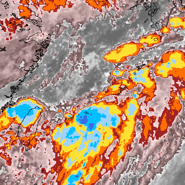
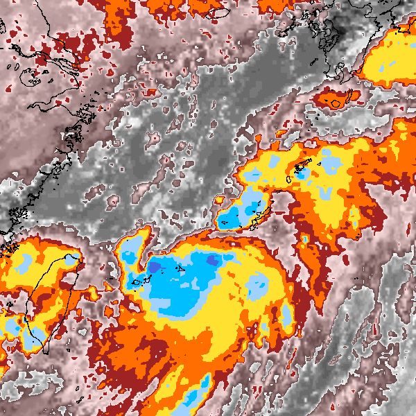
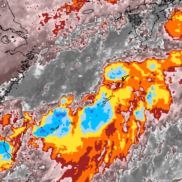
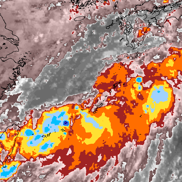
Storm track
-
Intensity
-
Wind Radii
-
Intensity Data
-
Source Data
-
All data
Summary Information
|
| Storm ID |
2016250N25125 |
| Start |
Sep 5 12Z |
| Max Intensity |
40 kt (Sep 6 06Z), 995 mb (Sep 6 12Z) |
| End |
Sep 7 18Z |
| ATCF IDs |
|
| Track status |
Best track data. |
|
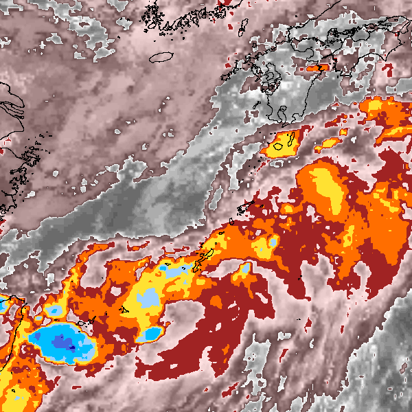
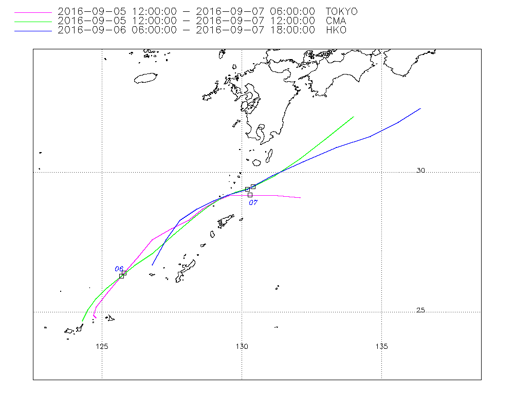
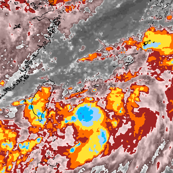
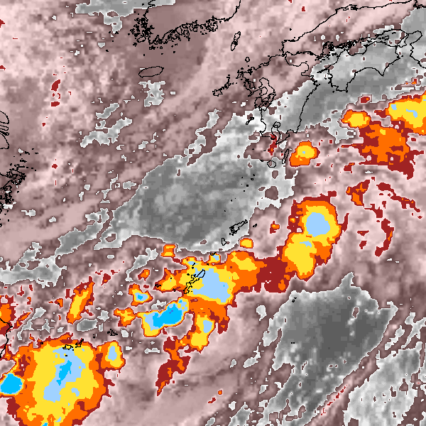
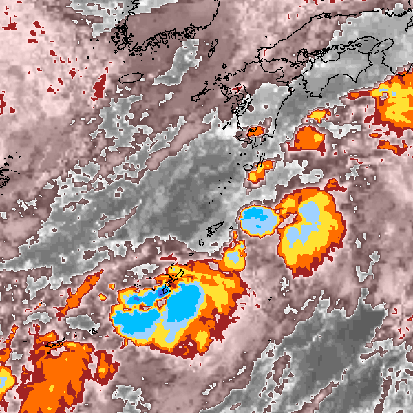
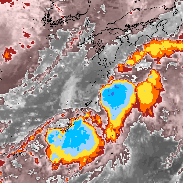
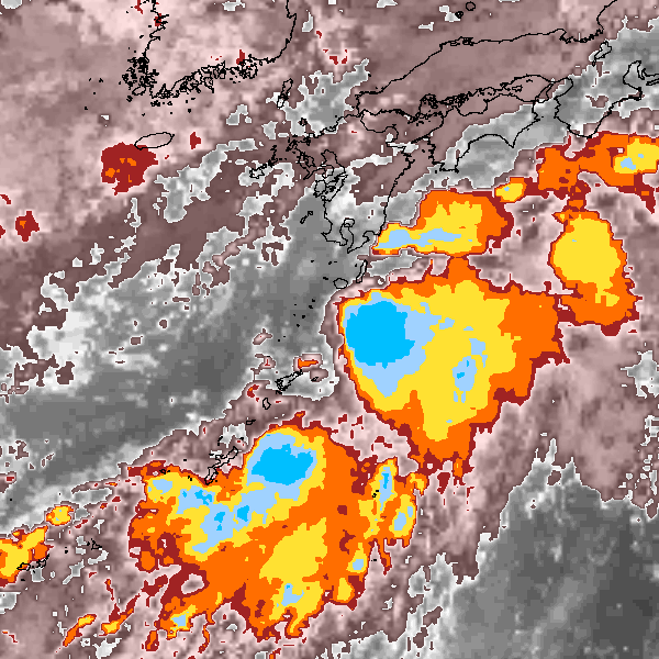
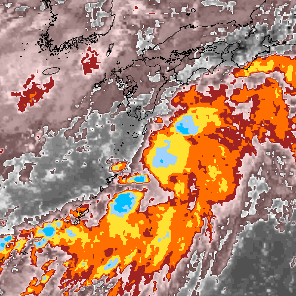
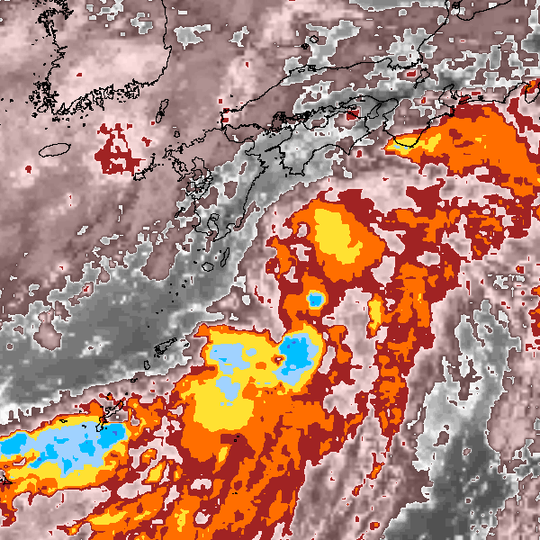
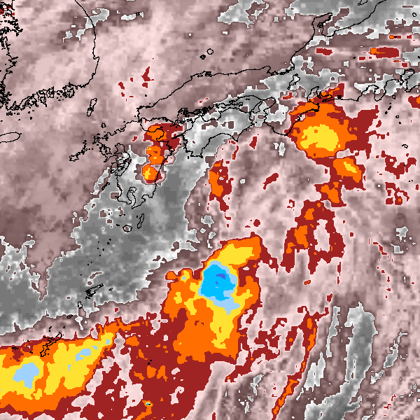
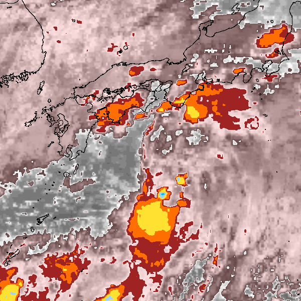
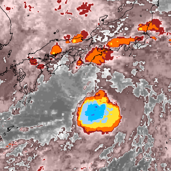
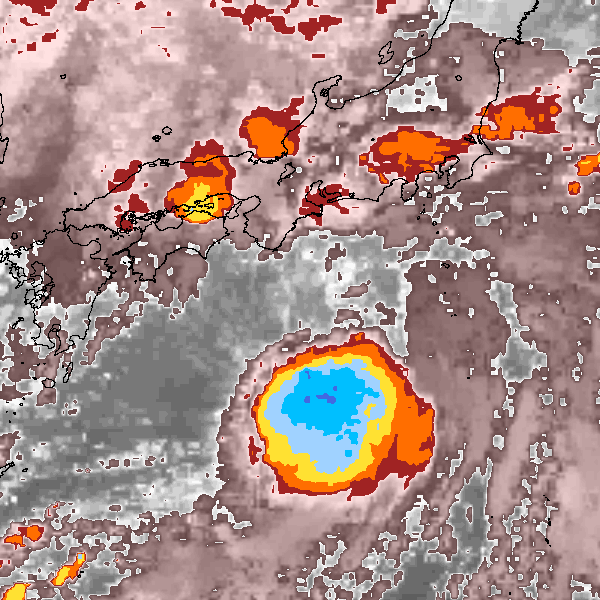
Storm track plot
|
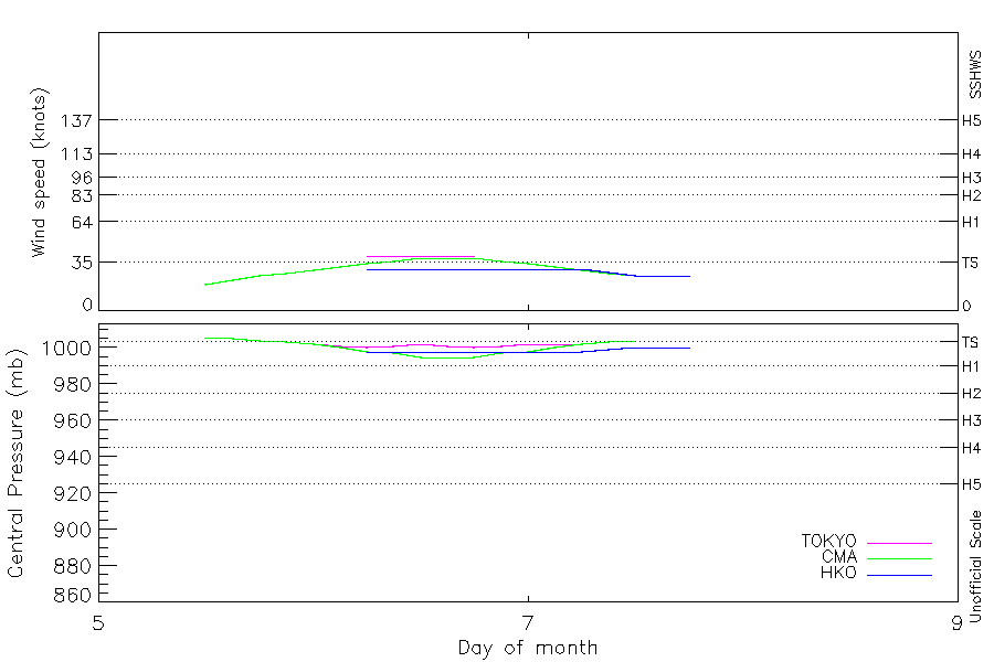
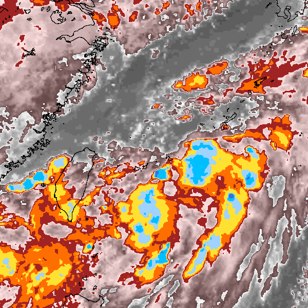
Intensity plots
|
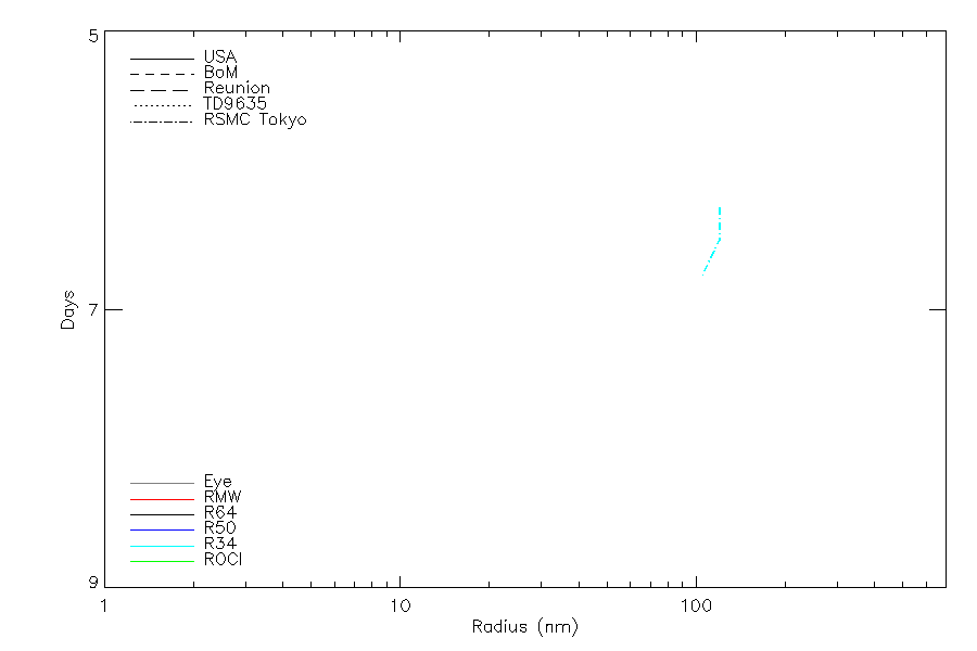
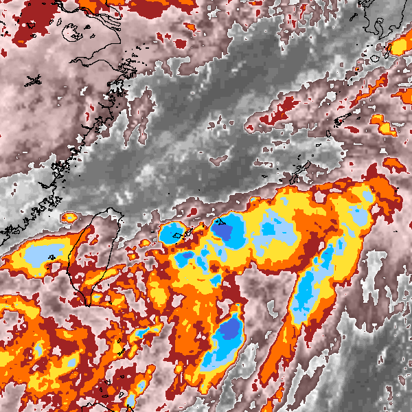
Radial wind information
|
Position and Intensity Table
| BASIN |
ISO_TIME_________ |
NATURE |
LAT |
LON |
WMO WIND |
WMO PRES |
TOKYO WIND |
TOKYO PRES |
CMA WIND |
CMA PRES |
HKO WIND |
HKO PRES |
KMA WIND |
KMA PRES |
| |
|
|
degrees north |
degrees east |
kts |
mb |
kts |
mb |
kts |
mb |
kts |
mb |
kts |
mb |
| WP |
2016-09-05 12:00:00 |
MX |
24.70 |
124.70 |
|
1006 |
|
1006 |
19 |
1006 |
|
|
29 |
1004 |
| WP |
15:00:00 |
MX |
25.00 |
124.80 |
|
|
|
1005 |
22 |
1005 |
|
|
29 |
1003 |
| WP |
18:00:00 |
TS |
25.30 |
125.00 |
|
1004 |
|
1004 |
25 |
1004 |
|
|
29 |
1002 |
| WP |
21:00:00 |
TS |
25.80 |
125.40 |
|
|
|
1003 |
27 |
1003 |
|
|
32 |
1001 |
| WP |
2016-09-06 00:00:00 |
TS |
26.20 |
125.80 |
|
1002 |
|
1002 |
29 |
1002 |
|
|
35 |
1000 |
| WP |
03:00:00 |
TS |
26.70 |
126.40 |
|
|
|
1001 |
32 |
1000 |
|
|
35 |
1000 |
| WP |
06:00:00 |
TS |
27.10 |
127.00 |
40 |
1000 |
40 |
1000 |
34 |
998 |
30 |
998 |
35 |
1000 |
| WP |
09:00:00 |
TS |
27.70 |
127.60 |
|
|
40 |
1001 |
36 |
997 |
30 |
998 |
36 |
999 |
| WP |
12:00:00 |
TS |
28.20 |
128.20 |
40 |
1002 |
40 |
1002 |
38 |
995 |
30 |
998 |
37 |
998 |
| WP |
15:00:00 |
TS |
28.70 |
128.60 |
|
|
40 |
1001 |
38 |
995 |
30 |
998 |
36 |
999 |
| WP |
18:00:00 |
TS |
29.10 |
129.20 |
40 |
1000 |
40 |
1000 |
38 |
995 |
30 |
998 |
35 |
1000 |
| WP |
21:00:00 |
TS |
29.30 |
129.70 |
|
|
|
1001 |
36 |
997 |
30 |
998 |
35 |
1000 |
| WP |
2016-09-07 00:00:00 |
TS |
29.50 |
130.40 |
|
1002 |
|
1002 |
34 |
998 |
30 |
998 |
35 |
1000 |
| WP |
03:00:00 |
TS |
29.80 |
131.20 |
|
|
|
1002 |
32 |
1000 |
30 |
998 |
35 |
1000 |
| WP |
06:00:00 |
TS |
30.30 |
132.10 |
|
1002 |
|
1002 |
29 |
1002 |
30 |
998 |
35 |
1000 |
| WP |
09:00:00 |
TS |
30.90 |
133.30 |
|
|
|
|
27 |
1003 |
28 |
999 |
32 |
1000 |
| WP |
12:00:00 |
TS |
31.50 |
134.60 |
|
|
|
|
25 |
1004 |
25 |
1000 |
29 |
1000 |
| WP |
15:00:00 |
TS |
31.80 |
135.60 |
|
|
|
|
|
|
25 |
1000 |
|
|
| WP |
18:00:00 |
TS |
32.30 |
136.40 |
|
|
|
|
|
|
25 |
1000 |
|
|
Source Information
| Agency |
Information |
| USA |
|
| TOKYO |
bst_all.txt:Line=64484:MALOU:1613 |
| CMA |
CH2016BST.txt:Storm=15:Malou |
| HKO |
tc-besttrack-data-current.txt:Line=38043:MALOU |
| KMA |
kma:1613.txt:MALOU:1613 |
| NEWDELHI |
|
| REUNION |
|
| BOM |
|
| NADI |
|
| WELLINGTON |
|
| DS824 |
|
| TD9636 |
|
| TD9635 |
|
| NEUMANN |
|
| MLC |
|
All available IBTrACS Data
| SEASON |
BASIN |
SUBBASIN |
ISO_TIME_________ |
NATURE |
LAT |
LON |
WMO WIND |
WMO PRES |
WMO AGENCY |
DIST2LAND |
LANDFALL |
IFLAG |
USA SSHS |
TOKYO LAT |
TOKYO LON |
TOKYO GRADE |
TOKYO WIND |
TOKYO PRES |
TOKYO R50_DIR |
TOKYO R30_DIR |
TOKYO R30_LONG |
TOKYO R30_SHORT |
TOKYO LAND |
CMA LAT |
CMA LON |
CMA CAT |
CMA WIND |
CMA PRES |
HKO LAT |
HKO LON |
HKO CAT |
HKO WIND |
HKO PRES |
KMA LAT |
KMA LON |
KMA CAT |
KMA WIND |
KMA PRES |
KMA R30_DIR |
KMA R30_LONG |
KMA R30_SHORT |
STORM SPEED |
STORM DIR |
| Year |
|
|
|
|
degrees north |
degrees east |
kts |
mb |
|
km |
km |
|
1 |
degrees north |
degrees east |
1 |
kts |
mb |
|
|
nmile |
nmile |
1 |
degrees north |
degrees east |
1 |
kts |
mb |
degrees north |
degrees east |
|
kts |
mb |
degrees north |
degrees east |
|
kts |
mb |
|
nmile |
nmile |
kts |
degrees |
| 2016 |
WP |
MM |
2016-09-05 12:00:00 |
MX |
24.70 |
124.70 |
|
1006 |
tokyo |
274 |
273 |
_OO_O__________ |
-5 |
24.80 |
124.80 |
2 |
|
1006 |
0 |
0 |
|
|
0 |
24.70 |
124.30 |
0 |
19 |
1006 |
|
|
|
|
|
24.70 |
125.00 |
TD |
29 |
1004 |
|
|
|
6 |
25 |
| 2016 |
WP |
MM |
15:00:00 |
MX |
25.00 |
124.80 |
|
|
|
281 |
281 |
_PP_P__________ |
-5 |
24.90 |
124.70 |
2 |
|
1005 |
0 |
0 |
|
|
|
25.10 |
124.50 |
0 |
22 |
1005 |
|
|
|
|
|
25.00 |
125.30 |
TD |
29 |
1003 |
|
|
|
7 |
25 |
| 2016 |
WP |
MM |
18:00:00 |
TS |
25.30 |
125.00 |
|
1004 |
tokyo |
303 |
303 |
_OO_O__________ |
-5 |
25.20 |
124.80 |
2 |
|
1004 |
0 |
0 |
|
|
0 |
25.50 |
124.80 |
1 |
25 |
1004 |
|
|
|
|
|
25.30 |
125.50 |
TD |
29 |
1002 |
|
|
|
9 |
35 |
| 2016 |
WP |
MM |
21:00:00 |
TS |
25.80 |
125.40 |
|
|
|
352 |
352 |
_PP_P__________ |
-5 |
25.70 |
125.20 |
2 |
|
1003 |
0 |
0 |
|
|
|
25.90 |
125.20 |
1 |
27 |
1003 |
|
|
|
|
|
25.60 |
125.70 |
TD |
32 |
1001 |
|
|
|
12 |
40 |
| 2016 |
WP |
MM |
2016-09-06 00:00:00 |
TS |
26.20 |
125.80 |
|
1002 |
tokyo |
403 |
403 |
_OO_O__________ |
-5 |
26.40 |
125.80 |
2 |
|
1002 |
0 |
0 |
|
|
0 |
26.30 |
125.70 |
1 |
29 |
1002 |
|
|
|
|
|
26.00 |
126.00 |
TS |
35 |
1000 |
315.00 |
43 |
27 |
13 |
45 |
| 2016 |
WP |
MM |
03:00:00 |
TS |
26.70 |
126.40 |
|
|
|
479 |
479 |
_PP_P__________ |
-5 |
27.00 |
126.30 |
2 |
|
1001 |
0 |
0 |
|
|
|
26.70 |
126.20 |
1 |
32 |
1000 |
|
|
|
|
|
26.40 |
126.70 |
TS |
35 |
1000 |
315.00 |
43 |
27 |
14 |
50 |
| 2016 |
WP |
MM |
06:00:00 |
TS |
27.10 |
127.00 |
40 |
1000 |
tokyo |
542 |
474 |
_OOOO__________ |
-5 |
27.60 |
126.80 |
3 |
40 |
1000 |
0 |
3 |
150 |
90 |
0 |
27.10 |
126.80 |
2 |
34 |
998 |
26.70 |
126.80 |
TD |
30 |
998 |
26.80 |
127.50 |
TS |
35 |
1000 |
315.00 |
43 |
27 |
15 |
50 |
| 2016 |
WP |
MM |
09:00:00 |
TS |
27.70 |
127.60 |
|
|
|
464 |
391 |
_PPPP__________ |
-5 |
28.00 |
127.50 |
3 |
40 |
1001 |
0 |
3 |
150 |
90 |
|
27.80 |
127.60 |
2 |
36 |
997 |
27.60 |
127.30 |
TD |
30 |
998 |
27.30 |
128.00 |
TS |
36 |
999 |
315.00 |
43 |
25 |
15 |
45 |
| 2016 |
WP |
MM |
12:00:00 |
TS |
28.20 |
128.20 |
40 |
1002 |
tokyo |
386 |
318 |
_OOOO__________ |
-5 |
28.30 |
128.10 |
3 |
40 |
1002 |
0 |
3 |
150 |
90 |
0 |
28.40 |
128.30 |
2 |
38 |
995 |
28.30 |
127.80 |
TD |
30 |
998 |
27.80 |
128.40 |
TS |
37 |
998 |
315.00 |
43 |
22 |
14 |
40 |
| 2016 |
WP |
MM |
15:00:00 |
TS |
28.70 |
128.60 |
|
|
|
318 |
267 |
_PPPP__________ |
-5 |
28.70 |
128.60 |
3 |
40 |
1001 |
0 |
3 |
150 |
75 |
|
28.80 |
128.80 |
2 |
38 |
995 |
28.70 |
128.40 |
TD |
30 |
998 |
28.50 |
128.70 |
TS |
36 |
999 |
315.00 |
43 |
19 |
12 |
45 |
| 2016 |
WP |
MM |
18:00:00 |
TS |
29.10 |
129.20 |
40 |
1000 |
tokyo |
253 |
212 |
_OOOO__________ |
-5 |
29.00 |
129.10 |
3 |
40 |
1000 |
0 |
3 |
150 |
60 |
0 |
29.10 |
129.30 |
2 |
38 |
995 |
29.00 |
129.00 |
TD |
30 |
998 |
29.10 |
129.20 |
TS |
35 |
1000 |
315.00 |
43 |
16 |
11 |
60 |
| 2016 |
WP |
MM |
21:00:00 |
TS |
29.30 |
129.70 |
|
|
|
212 |
169 |
_PPPP__________ |
-5 |
29.20 |
129.60 |
3 |
|
1001 |
0 |
3 |
|
|
|
29.30 |
129.80 |
2 |
36 |
997 |
29.20 |
129.50 |
TD |
30 |
998 |
29.50 |
130.00 |
TS |
35 |
1000 |
315.00 |
43 |
16 |
12 |
70 |
| 2016 |
WP |
MM |
2016-09-07 00:00:00 |
TS |
29.50 |
130.40 |
|
1002 |
tokyo |
169 |
139 |
_OOOO__________ |
-5 |
29.20 |
130.30 |
2 |
|
1002 |
0 |
0 |
|
|
0 |
29.50 |
130.40 |
2 |
34 |
998 |
29.40 |
130.20 |
TD |
30 |
998 |
29.80 |
130.80 |
TS |
35 |
1000 |
315.00 |
43 |
16 |
14 |
65 |
| 2016 |
WP |
MM |
03:00:00 |
TS |
29.80 |
131.20 |
|
|
|
142 |
135 |
_PPPP__________ |
-5 |
29.20 |
131.10 |
2 |
|
1002 |
0 |
0 |
|
|
|
29.90 |
131.20 |
2 |
32 |
1000 |
29.90 |
131.10 |
TD |
30 |
998 |
30.00 |
131.30 |
TS |
35 |
1000 |
315.00 |
43 |
16 |
17 |
60 |
| 2016 |
WP |
MM |
06:00:00 |
TS |
30.30 |
132.10 |
|
1002 |
tokyo |
139 |
138 |
_OOOO__________ |
-5 |
29.10 |
132.10 |
2 |
|
1002 |
0 |
0 |
|
|
0 |
30.50 |
132.10 |
1 |
29 |
1002 |
30.40 |
132.20 |
TD |
30 |
998 |
30.30 |
132.00 |
TS |
35 |
1000 |
315.00 |
43 |
16 |
21 |
60 |
| 2016 |
WP |
MM |
09:00:00 |
TS |
30.90 |
133.30 |
|
|
|
188 |
183 |
__PPP__________ |
-5 |
|
|
|
|
|
0 |
0 |
|
|
|
31.20 |
133.00 |
1 |
27 |
1003 |
30.90 |
133.40 |
TD |
28 |
999 |
30.80 |
133.30 |
TS |
32 |
1000 |
315.00 |
|
|
24 |
60 |
| 2016 |
WP |
MM |
12:00:00 |
TS |
31.50 |
134.60 |
|
|
|
193 |
180 |
__OOO__________ |
-5 |
|
|
|
|
|
|
|
|
|
|
32.00 |
134.00 |
1 |
25 |
1004 |
31.30 |
134.60 |
TD |
25 |
1000 |
31.40 |
135.00 |
TD |
29 |
1000 |
|
|
|
21 |
65 |
| 2016 |
WP |
MM |
15:00:00 |
TS |
31.80 |
135.60 |
|
|
|
179 |
134 |
___P___________ |
-5 |
|
|
|
|
|
|
|
|
|
|
|
|
|
|
|
31.80 |
135.60 |
TD |
25 |
1000 |
|
|
|
|
|
|
|
|
18 |
60 |
| 2016 |
WP |
MM |
18:00:00 |
TS |
32.30 |
136.40 |
|
|
|
134 |
|
___O___________ |
-5 |
|
|
|
|
|
|
|
|
|
|
|
|
|
|
|
32.30 |
136.40 |
TD |
25 |
1000 |
|
|
|
|
|
|
|
|
17 |
55 |