2017
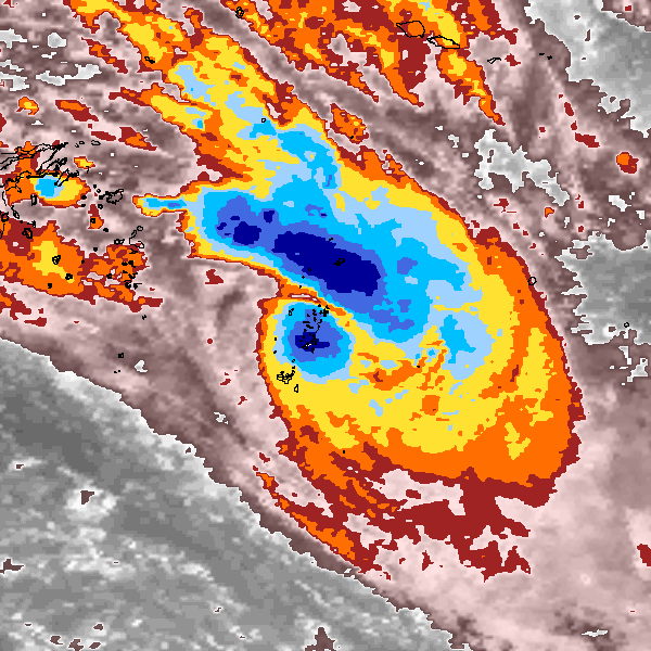
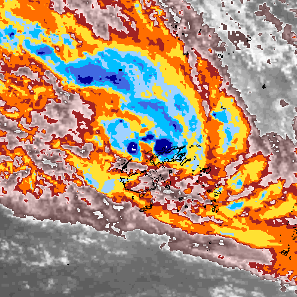
Tropical Cyclone (Gale) UNNAMED (2017052S16178)
IBTrACS version v04r01. Visit
IBTrACS website for data access.
Please direct all questions to the
IBTrACS Q and A forum
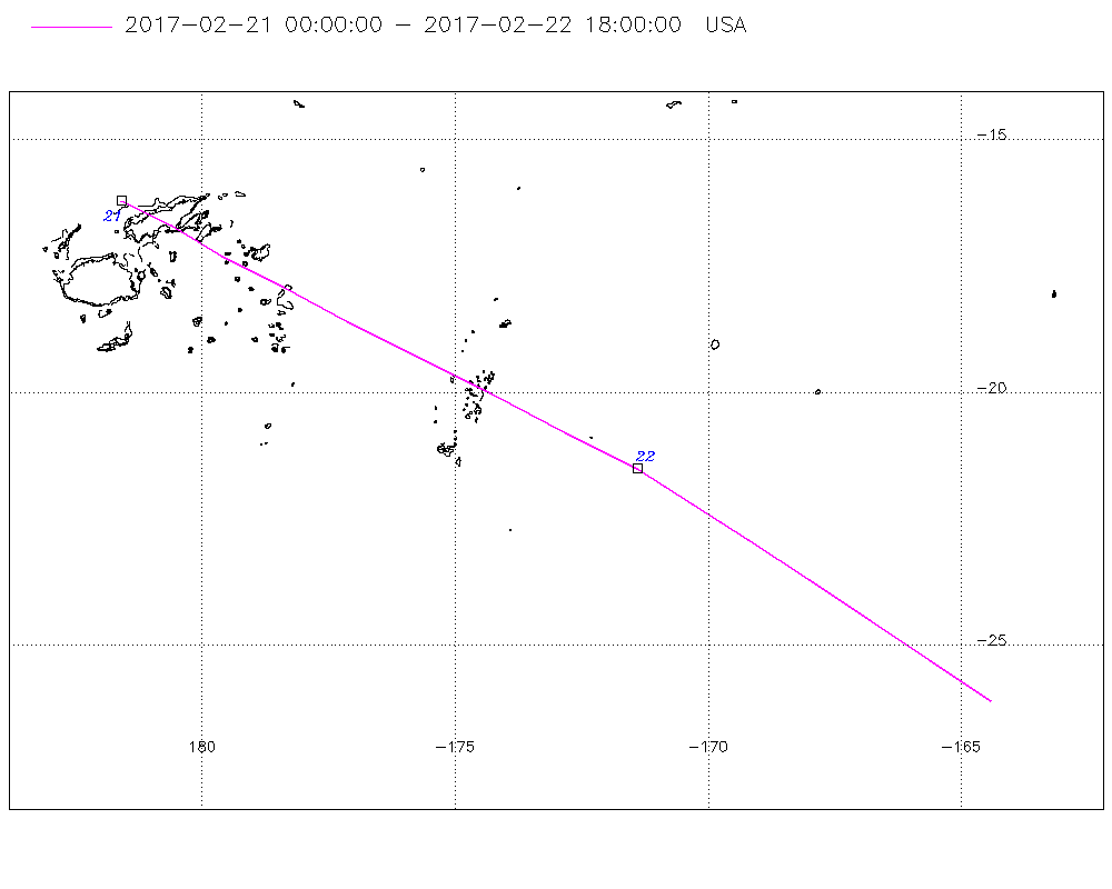
Storm track
-
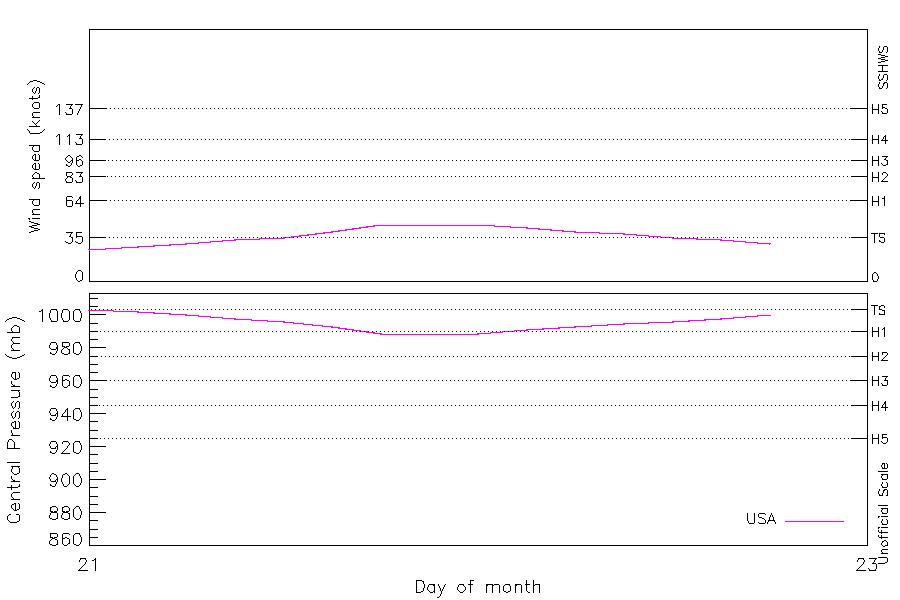
Intensity
-
Wind Radii
-
Intensity Data
-
Source Data
-
All data
Summary Information
|
| Storm ID |
2017052S16178 |
| Start |
Feb 21 00Z |
| Landfall |
Feb 21 03Z |
| Max Intensity |
45 kt (Feb 21 18Z), 989 mb (Feb 21 18Z) |
| End |
Feb 22 18Z |
| ATCF IDs |
SH082017 |
| Track status |
Best track data. |
|
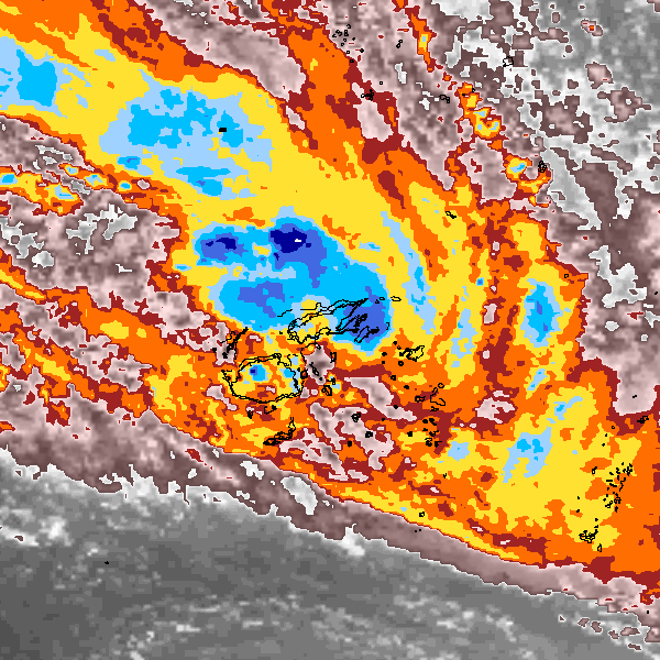
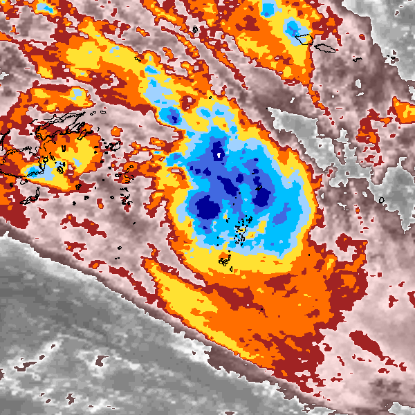
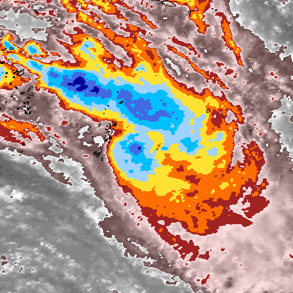
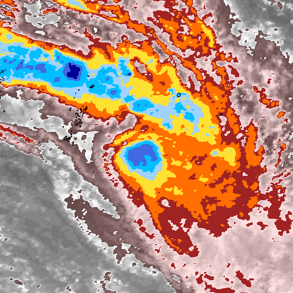
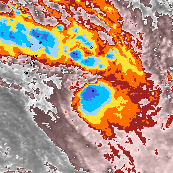
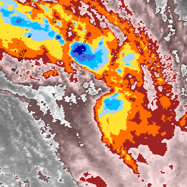
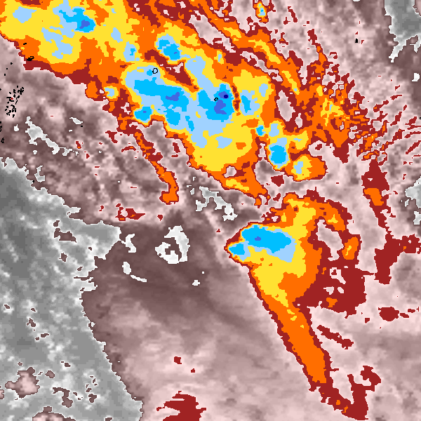
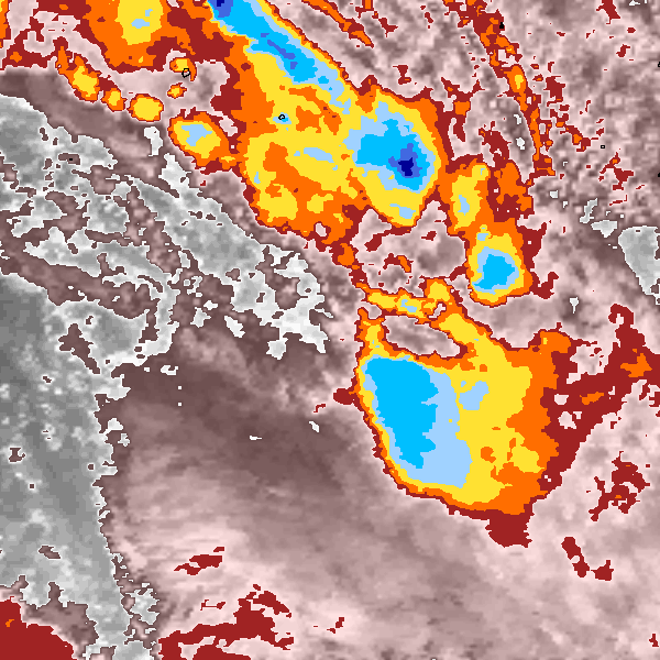
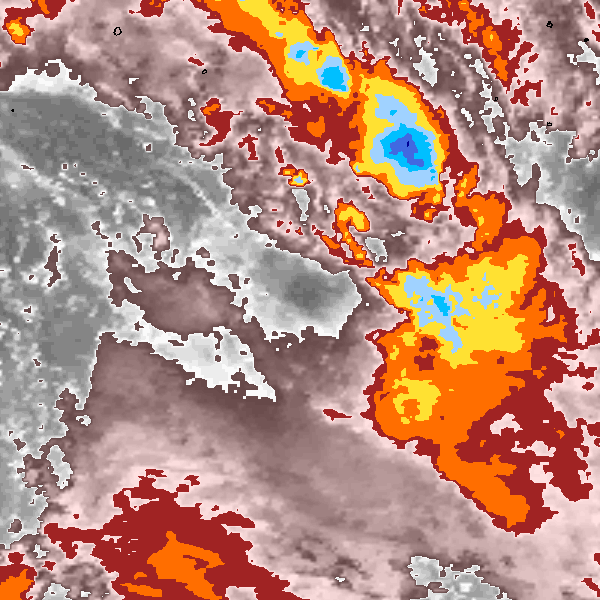
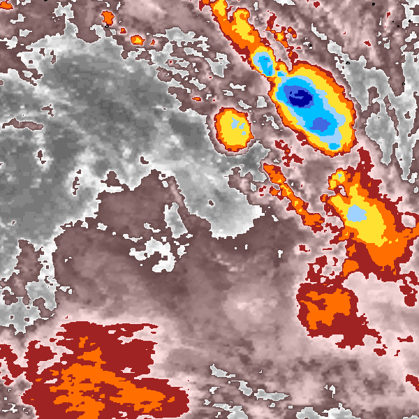
Storm track plot
|
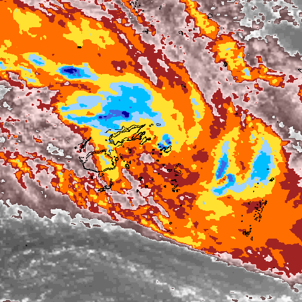
Intensity plots
|
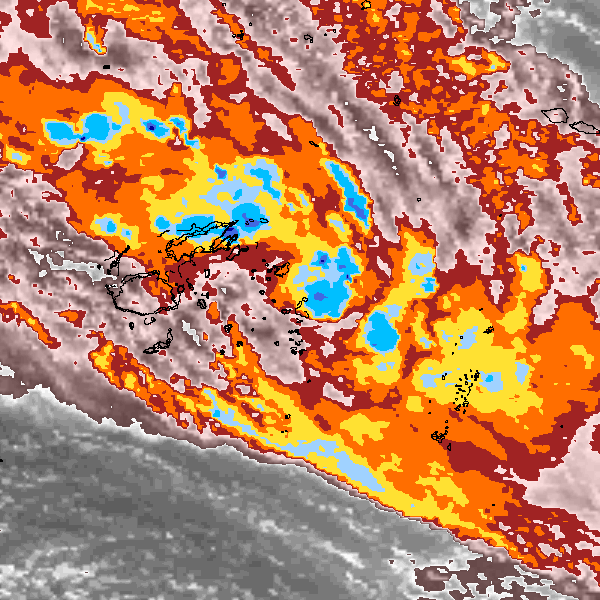
Radial wind information

|
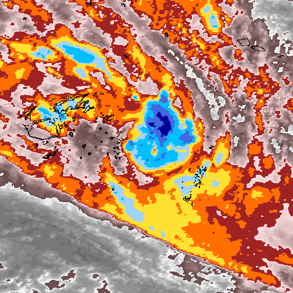
Position and Intensity Table
Source Information
| Agency |
Information |
| USA |
bsh082017.dat |
| TOKYO |
|
| CMA |
|
| HKO |
|
| KMA |
|
| NEWDELHI |
|
| REUNION |
|
| BOM |
|
| NADI |
|
| WELLINGTON |
|
| DS824 |
|
| TD9636 |
|
| TD9635 |
|
| NEUMANN |
|
| MLC |
|
All available IBTrACS Data
| SEASON |
BASIN |
SUBBASIN |
ISO_TIME_________ |
NATURE |
LAT |
LON |
DIST2LAND |
LANDFALL |
IFLAG |
USA AGENCY |
USA ATCF_ID |
USA LAT |
USA LON |
USA STATUS |
USA WIND |
USA PRES |
USA SSHS |
USA R34 |
USA POCI |
USA ROCI |
USA RMW |
STORM SPEED |
STORM DIR |
| Year |
|
|
|
|
degrees north |
degrees east |
km |
km |
|
|
|
degrees north |
degrees east |
|
kts |
mb |
1 |
nmile |
mb |
nmile |
nmile |
kts |
degrees |
| 2017 |
SP |
MM |
2017-02-21 00:00:00 |
DS |
-16.20 |
178.40 |
56 |
0 |
O______________ |
jtwc_sh |
SH082017 |
-16.20 |
178.40 |
WV |
25 |
1003 |
-3 |
|
|
|
|
21 |
120 |
| 2017 |
SP |
MM |
03:00:00 |
DS |
-16.70 |
179.40 |
0 |
0 |
P______________ |
|
SH082017 |
-16.70 |
179.40 |
WV |
28 |
1002 |
-3 |
|
|
|
|
22 |
120 |
| 2017 |
SP |
MM |
06:00:00 |
DS |
-17.30 |
180.40 |
77 |
77 |
O______________ |
jtwc_sh |
SH082017 |
-17.30 |
-179.60 |
WV |
30 |
1000 |
-3 |
|
1004 |
185 |
50 |
25 |
120 |
| 2017 |
SP |
MM |
09:00:00 |
DS |
-17.90 |
181.60 |
218 |
218 |
P______________ |
|
SH082017 |
-17.90 |
-178.40 |
WV |
33 |
998 |
-3 |
|
1004 |
205 |
50 |
27 |
120 |
| 2017 |
SP |
MM |
12:00:00 |
TS |
-18.60 |
182.90 |
376 |
376 |
O______________ |
jtwc_sh |
SH082017 |
-18.60 |
-177.10 |
TS |
35 |
996 |
0 |
|
1004 |
225 |
50 |
29 |
120 |
| 2017 |
SP |
MM |
15:00:00 |
TS |
-19.30 |
184.30 |
542 |
542 |
P______________ |
|
SH082017 |
-19.30 |
-175.70 |
TS |
40 |
993 |
0 |
|
1005 |
215 |
50 |
30 |
120 |
| 2017 |
SP |
MM |
18:00:00 |
TS |
-20.00 |
185.70 |
708 |
708 |
O______________ |
jtwc_sh |
SH082017 |
-20.00 |
-174.30 |
TS |
45 |
989 |
0 |
|
1005 |
205 |
50 |
31 |
120 |
| 2017 |
SP |
MM |
21:00:00 |
TS |
-20.80 |
187.20 |
783 |
783 |
P______________ |
|
SH082017 |
-20.80 |
-172.80 |
TS |
45 |
989 |
0 |
|
1005 |
193 |
50 |
31 |
120 |
| 2017 |
SP |
MM |
2017-02-22 00:00:00 |
TS |
-21.50 |
188.60 |
865 |
865 |
O______________ |
jtwc_sh |
SH082017 |
-21.50 |
-171.40 |
TS |
45 |
989 |
0 |
180,145,75,175 |
1005 |
180 |
50 |
28 |
120 |
| 2017 |
SP |
MM |
03:00:00 |
TS |
-22.20 |
189.70 |
961 |
961 |
P______________ |
|
SH082017 |
-22.20 |
-170.30 |
TS |
43 |
991 |
0 |
180,145,75,175 |
1005 |
180 |
50 |
25 |
125 |
| 2017 |
SP |
MM |
06:00:00 |
TS |
-22.90 |
190.80 |
1066 |
1066 |
O______________ |
jtwc_sh |
SH082017 |
-22.90 |
-169.20 |
TS |
40 |
993 |
0 |
180,145,75,175 |
1004 |
180 |
50 |
26 |
125 |
| 2017 |
SP |
MM |
09:00:00 |
TS |
-23.70 |
192.00 |
1192 |
1192 |
P______________ |
|
SH082017 |
-23.70 |
-168.00 |
TS |
38 |
995 |
0 |
180,145,75,175 |
1004 |
180 |
50 |
27 |
125 |
| 2017 |
SP |
MM |
12:00:00 |
SS |
-24.50 |
193.20 |
1324 |
1324 |
O______________ |
jtwc_sh |
SH082017 |
-24.50 |
-166.80 |
SS |
35 |
996 |
-2 |
180,145,75,175 |
1004 |
180 |
50 |
27 |
125 |
| 2017 |
SP |
MM |
15:00:00 |
SS |
-25.30 |
194.40 |
1459 |
1459 |
P______________ |
|
SH082017 |
-25.30 |
-165.60 |
SS |
33 |
998 |
-2 |
|
1004 |
180 |
50 |
27 |
125 |
| 2017 |
SP |
MM |
18:00:00 |
ET |
-26.10 |
195.60 |
1597 |
|
O______________ |
jtwc_sh |
SH082017 |
-26.10 |
-164.40 |
EX |
30 |
1000 |
-4 |
|
1004 |
180 |
50 |
27 |
125 |