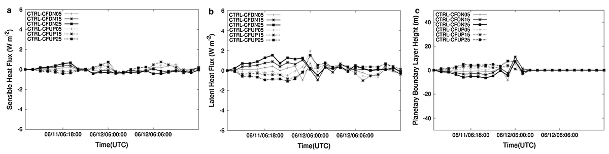
Figure showing June 11, 2006, time series of differences between the control runs with default roughness values (CTRL) and runs with higher (CFUP) and lower (CFDN) values for both cropland and forest surface types for (a) domain average sensible heat flux, (b) domain average latent heat flux, and (c) domain average planetary boundary layer height
At small scales, the behavior of the atmosphere depends strongly on the characteristics of the land surface, including topography and vegetation types. As a result, the performance of a regional-scale atmospheric model also depends in part on how accurately it models those surface characteristics.
CICS-NC’s Ronnie Leeper contributed to a recent study that examined the sensitivity of a regional model to roughness length (a parameter that represents the relative height and roughness of the surface—for example, a forest has a much higher roughness length value than low crops, but lower than an urban area with tall buildings).
The team used three meteorological events in the Ohio–Tennessee River Valley in June 2006 to evaluate how changing the roughness length parameters in a coupled regional atmospheric–land surface model influenced how that model performed at reproducing these three real-world events. By running the models with a range of roughness length values for two categories of land cover (crops and forest) and comparing the results with the default values for both categories, the team produced quantitative estimates of how these changes affected the model estimates of accumulated precipitation, wind speed, energy fluxes, and other parameters. The study also evaluated the performance of the models with default values against data from the North American Regional Reanalysis product.
Overall, the team found that roughness length values made somewhat less of a difference than expected, particularly for the more extreme changes. Specific effects varied across the atmospheric variables considered. For example, changes to roughness length could result in differences in accumulated precipitation in a given location of up to 25 mm, but the net changes across the region considered were generally close to zero, suggesting that the model preserved the total amount of precipitation but shifted the locations of heavier and lighter precipitation. The results and methodology should prove valuable for future research into the effects of roughness length and mesoscale modeling.
Quintanar, A. I., R. Mahmood, A. Suarez, and R. Leeper, 2016: Atmospheric sensitivity to roughness length in a regional
atmospheric model over the Ohio–Tennessee River Valley. Meteorology and Atmospheric Physics, 128, 315-330.
http://dx.doi.org/10.1007/s00703-015-0415-z