Search Results for: 必应地图实例咨询QQ:50317349 乌兰浩特澳大利亚的搜索引擎,http www.yahoo.cn
Oct 25, 2016
Post-Matthew Water: How Bad Is It?
North Carolina Health News→
Oct 29, 2014
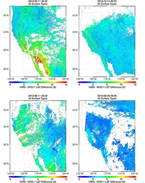
Validation of Land Surface Temperature products derived from the Visible Infrared Imaging Radiometer
Satellites provide critical weather and climate data, including measurements of surface temperature, but extracting temperature information from raw satellite data requires sophisticated data-processing algorithms. Jim…→
Dec 13, 2013
CICS-NC Develops An Interactive Map To Engage With NOAA Climate Data Users
The U.S. Climate Reference Network (USCRN) is a network of climate monitoring stations maintained and operated by NOAA to provide climate-science-quality measurements of air temperature…→
Oct 1, 2013
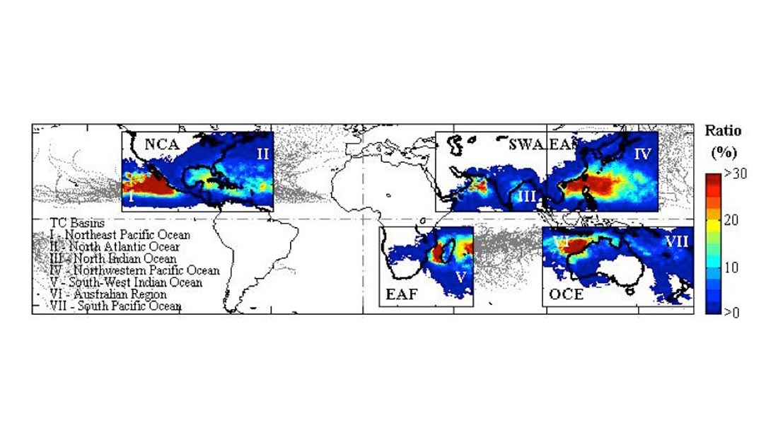
Quantifying Tropical Cyclone Rainfall
Tropical cyclones (TCs) constitute one of the major natural disasters around the world as well as an important source of fresh water over areas prone…→
Apr 16, 2013
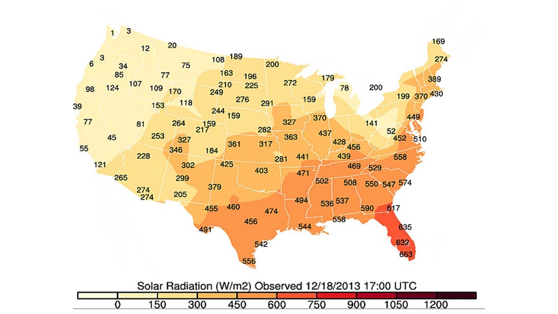
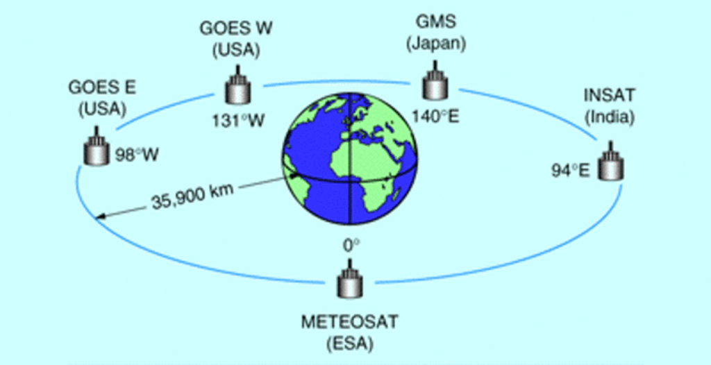
Calibration and Validation of Geostationary Satellite Visible Imagery
Meteorological satellites operating in geostationary orbits around the Earth (Fig. 1) provide us with observations of the Earth’s surface and clouds since the early 1970’s.…→
Oct 12, 2016
About Us
Home About Us Program Apply Participants Asheville Partners Contact Us Apply Online Download Brochure Speakers Session Videos About Us Under the leadership of Dr. Otis…→
Oct 30, 2016
Climate Change Threatens Sewage Cleanup Plans
Louisville Courier-Journal→
Sep 24, 2016
Climate change brews big problems for coffee production
Asheville Citizen Times→