Search Results for: https://www.foxweather.com/weather-forecast/us-air-quality-map
Apr 16, 2013
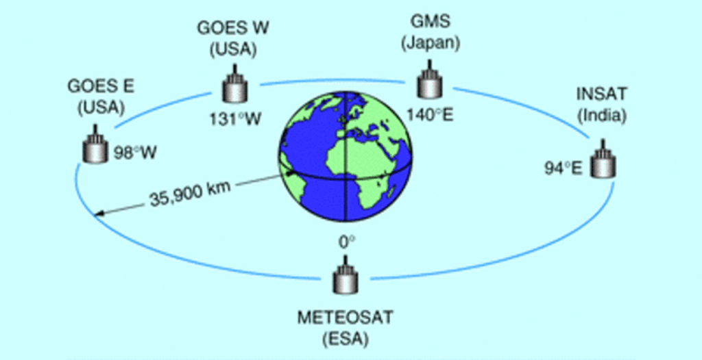
Calibration and Validation of Geostationary Satellite Visible Imagery
Meteorological satellites operating in geostationary orbits around the Earth (Fig. 1) provide us with observations of the Earth’s surface and clouds since the early 1970’s.…→
Dec 1, 2017
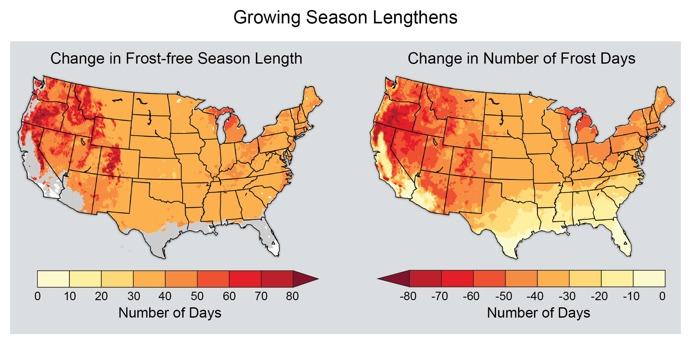
Extremes and Weather: Exploring Connections with Human Health
WeatherNation.com→
Aug 9, 2017
Solar eclipse 2017: What will New York’s weather be like?
Curbed.com, New York→
Aug 5, 2016
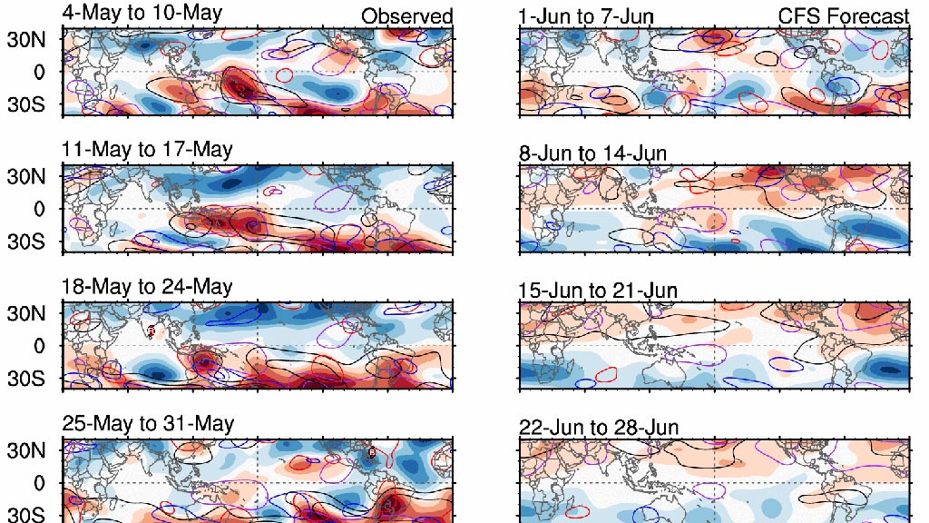
Monitoring the MJO and Tropical Waves
Monitoring the MJO and Tropical Waves + Global Maps of Totals & Anomalies NOAA CDR HIRS OLR NOAA/ESRL AVHRR OLR 1 day Last Previous…→
Aug 31, 2016
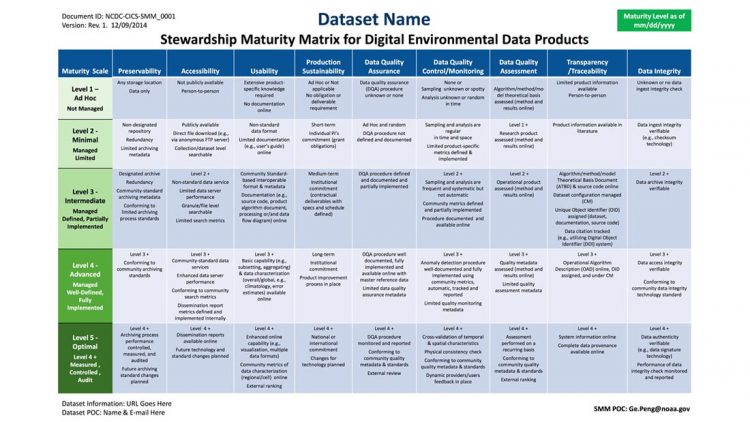
Portfolio: Scientific Data Stewardship
Collecting, curating, and delivering accurate, reliable environmental data sets is a difficult task. But the work doesn’t stop there. Ensuring that data sets are adequately…→
Jul 1, 2021
Joe’s Weather Blog: Coming Out of the Rain
Fox 4 TV, Kansas City. Joe Lauria.→
Dec 10, 2018
NCICS at AGU 2018
NCICS staff are contributing to more than 30 sessions, presentations, and posters at the Fall 2018 meeting of the American Geophysical Union (AGU) taking place on December…→
Sep 25, 2020
Fierce rainstorm strikes Charleston, a reminder of how climate change has amped up weather
The Post and Courier, Charleston, SC. Tony Bartelme, Chloe Johnson and Glenn Smith.→


